This is a delightful run that exits lake Rotoiti for a short placid reach and then takes off through a series of boulder garden rapids amidst beech forest and manuka.
The “Source of the Buller” run begins at Lake Rotoiti’s outlet on West Bay Road and continues past the main road bridge on SH63 all the way to the Howard River confluence (a total run form the Lake of 16.5km).
It has three possible take-outs depending on how much time you have available.
To get to the put-in – turn off SH63 2km south of St Arnaud onto Mt Robert Road. Drive 1.5km and park beside the bridge.
To get to the take-out. – there are three options. For the shortest run – you can park on the north side of the SH63 Bridge a further 1.5 km down SH63 from the turnoff. Or just walk back as there is a lovely riverside track. For the Teetotal Recreation Area take-out – look for a large DOC sign on the north side of the road just before the Mt Robert turn-off. Drive 4.5 km and park before the locked forestry gate. The takeout is 1.5 km, about half of which is a gravel road and the other half a dirt track descending to the river. Alternatively, it’s a pleasant walk 7.5 km back to the put-in. For the longest trip drive, down SH63 and park just after the Howard River bridge (13 km past the first bridge).
On the River
The short 2.4 km section from the lake to the first bridge on SH63 is the most popular and is referred to as the “Upper Buller” run. There is a track beside the river that means you can paddle and then walk back to the put-in for repeat runs. This short run can be extended by continuing a further 4.5 km downstream. You can also start with a lake paddle.
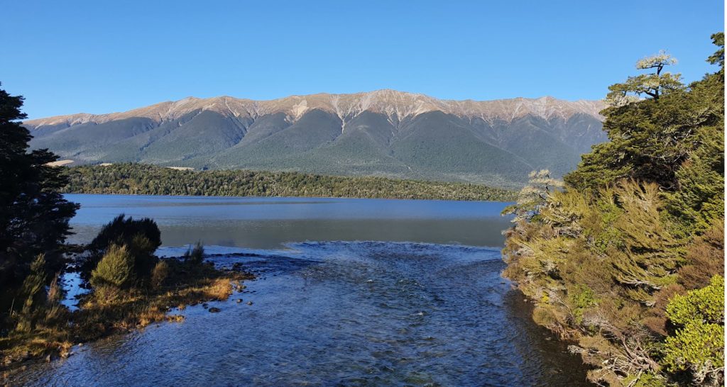
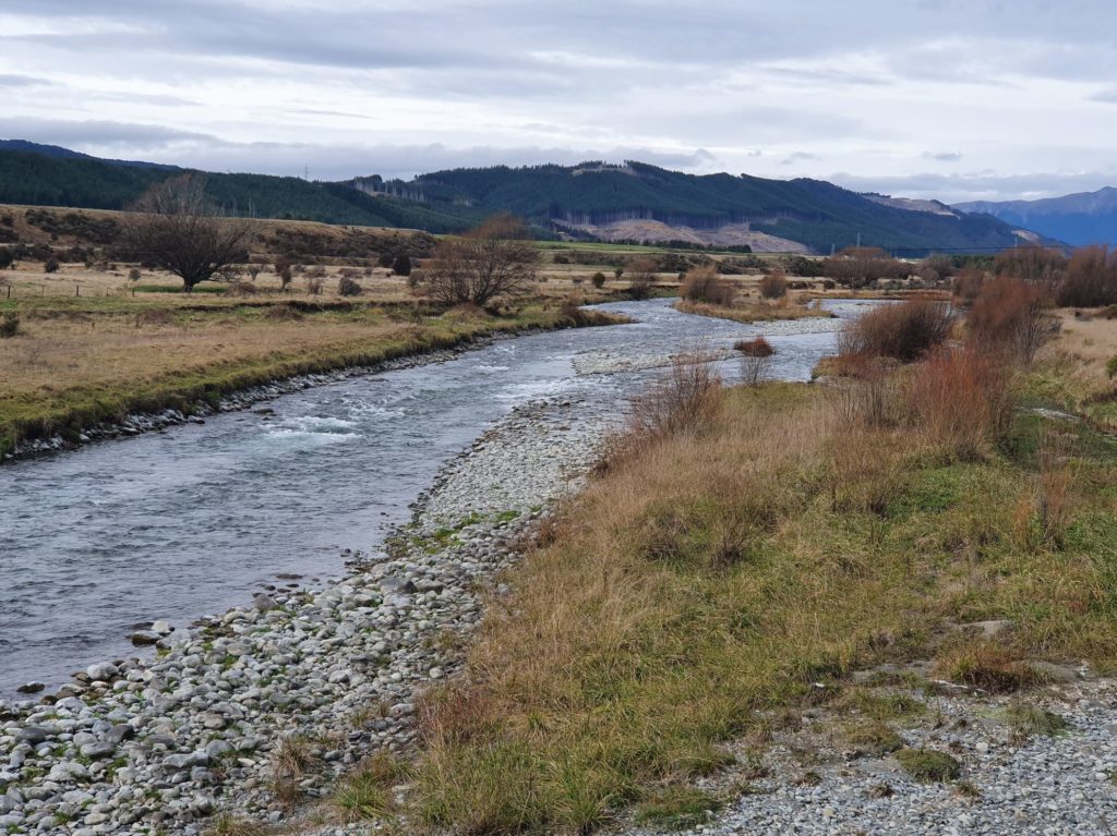
The river begins with a gravel bar across the lake outlet and then a placid section that extends 300m around the first corner. Then the action begins, comprising relatively continuous boulder gardens and chutes through beautiful beach forest. About halfway down the run there is a rock ledge which makes a great play sport.
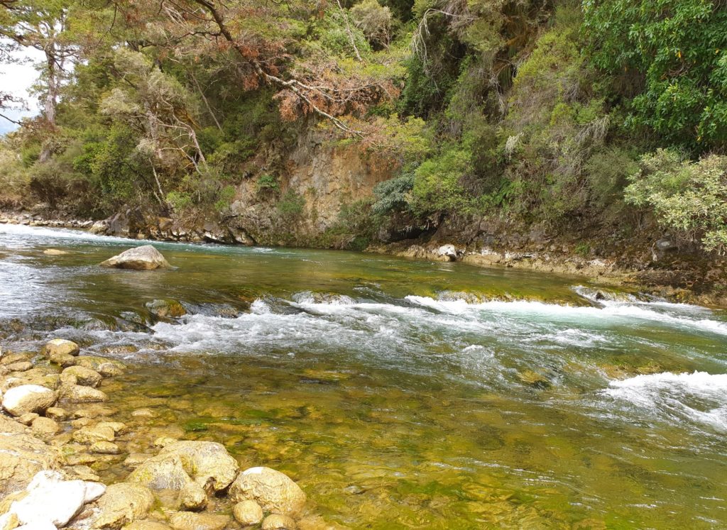
Typically it’s a Class II to II+ run but at high flows this run can be pushy Class III. Even at low flows be sure to check the bridge for debris and logs as this section can be pushy for beginners.
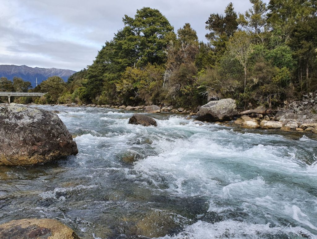
The boulder garden form continues below the SH63 bridge.
It is important to note that at high flow the river has taken new channels through the scrub With steep gradients and pushy flow this presents serious pinning hazards. There are multiple locations between 350 and 1600m after the bridge where this can occur. At high flow this section should be avoided. At low flow it should be shore scouted.
Beyond this point the river gradually eases. There is a take-out at the end of Teetotal Recreation Area. It is reasonably obvious, but is not marked. You can recognise it where the river plain on true right narrows and the river reaches the end of a ridge before swinging to the left. Get out at the abandoned river channel on river right and climb a small bank to a 4wd track. This is a legal access even though it joins a forestry track with locked gates. Get out here and walk a few kilometres back to the public road in the Teetotal reserve or 7.5 km back to the lake.
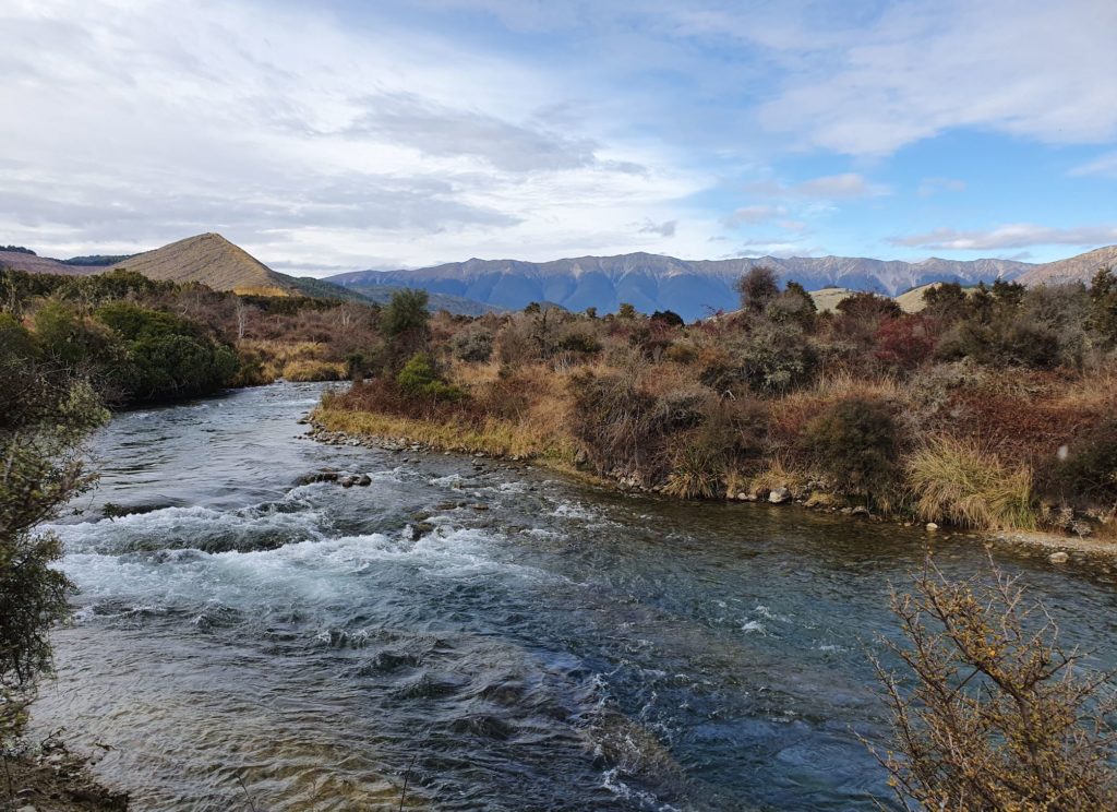
Whilst the gradient below this does not ease particularly (it’s still a respectable 10m per km), the river becomes wider in places with split channels and braids. This means the 9.5 km section down to Howard River confluence requires more water to run.
Gauge
The Gauge is Buller at Longford but it’s a long way downstream.
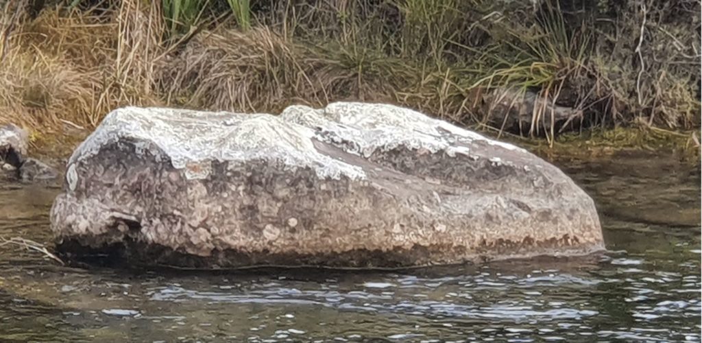
Immediately after the Mt Robert Road bridge there is a large rock on river left. In conjunction with the Longford gauge, this can be used to assess the difficulty. If water is more than halfway up the rock it will start to be pushy Class III.
Flow is reasonably consistent as it is buffered by the Lake. Through late summer and autumn the river is at it’s lowest.
View Larger Topographic Map


