


The Hunter is a long valley, with headwaters that take a bit of effort to get to, with sections of ‘type 2’ fun involved. The classic walking approach is a great tramping trip in its own right. On the river, the paddling is picturesque and straight forward. There are also logistical challenges getting from the river mouth back to civiliasation, but I guess those difficulties are part of what makes it a really satisfying trip!
This isn’t a Packraft trip focussed on the paddling: it is a satisfying traverse, where the whole is greater than the sum of the two halves.
Thanks to Dan Clearwater for the description below.
Land Tenure
Most of the Hunter Valley is within the Hawea Conservation Area, but in the lower reaches, the true right is Hunter Valley Station (Pastoral Leasehold) and the true left is Dingleburn Station (Freehold). It is important to study the Walking Access Mapping website, so you know what is public land (access and camping allowed) and what is not (permission required).
Access options
There are a variety of options for getting into the headwaters and out from the mouth, but they are either lengthy, expensive or hard work.
View Larger Topographic Map
Helicopter
From Makarora Township, Back Country Helicopters can fly you directly to Forbes Hut. They can also pick you up from near the mouth. Contact them directly for prices and specific pick up options.
4WD/Mountain Bike/Foot from the lake end
4WD or Mountain Bike is only an option on the western side of the valley. For those inclined, it could make a reasonable out and back bike-rafting mission. The public road runs until Terrace Creek, beyond here requires permission from Hunter Valley Station. At the time of writing, there were a number of ‘no-access’ time periods (winter and part of spring) plus specific conditions, forms to fill in and road maintenance fees to pay. Do your homework on the following pages for the latest information:
- Hunter Valley Station
- Department Of Conservation: Hunter Valley
- Federated Mountain Clubs of NZ: Hunter Valley access.
It is technically possible to walk in from the east side of the valley, but the length of walking on farm tracks (46.5km) and the distance between places where you’re allowed to camp make it impractical. The DOC website has details if you’re still interested.
Boat/Jetboat
There are presently no commercial options for boat/jetboat access or pickup, but if you have a mate with either, its worth considering. When river flows are sufficient (spring/after rain) Jetboats can make it a fair way up the valley.
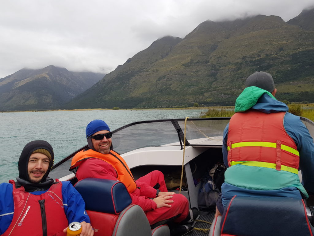
Organising a boat pickup from the river mouth is probably the simplest/cheapest/fastest option to get back to a public road.
By foot to the headwaters
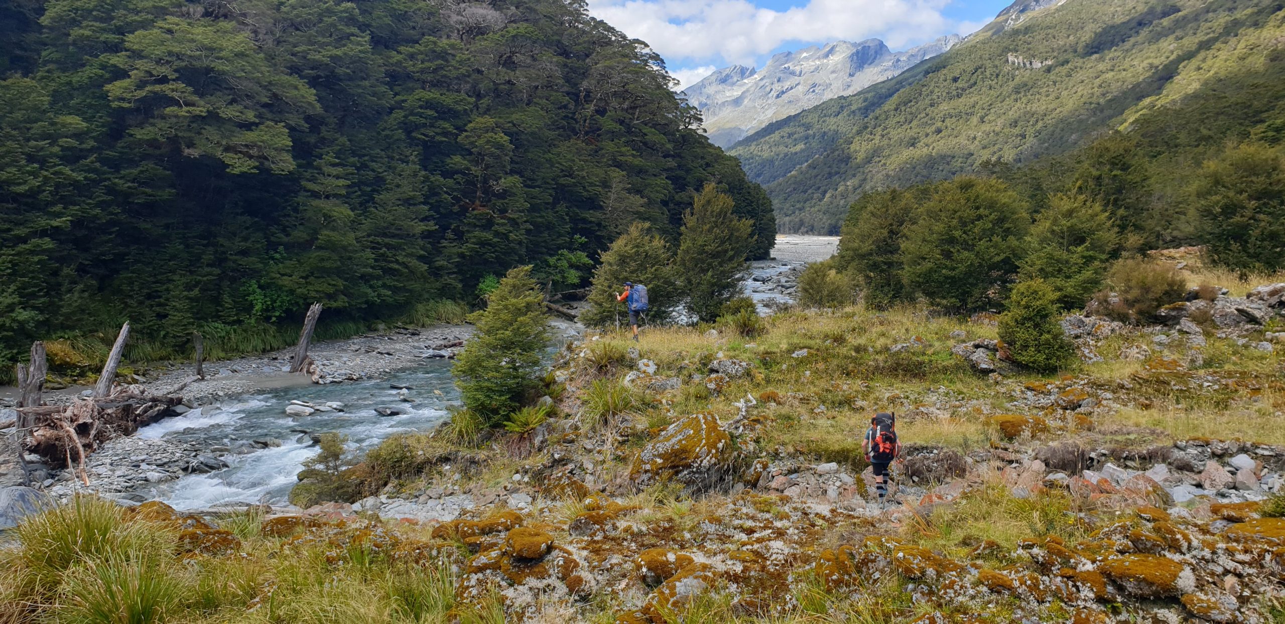
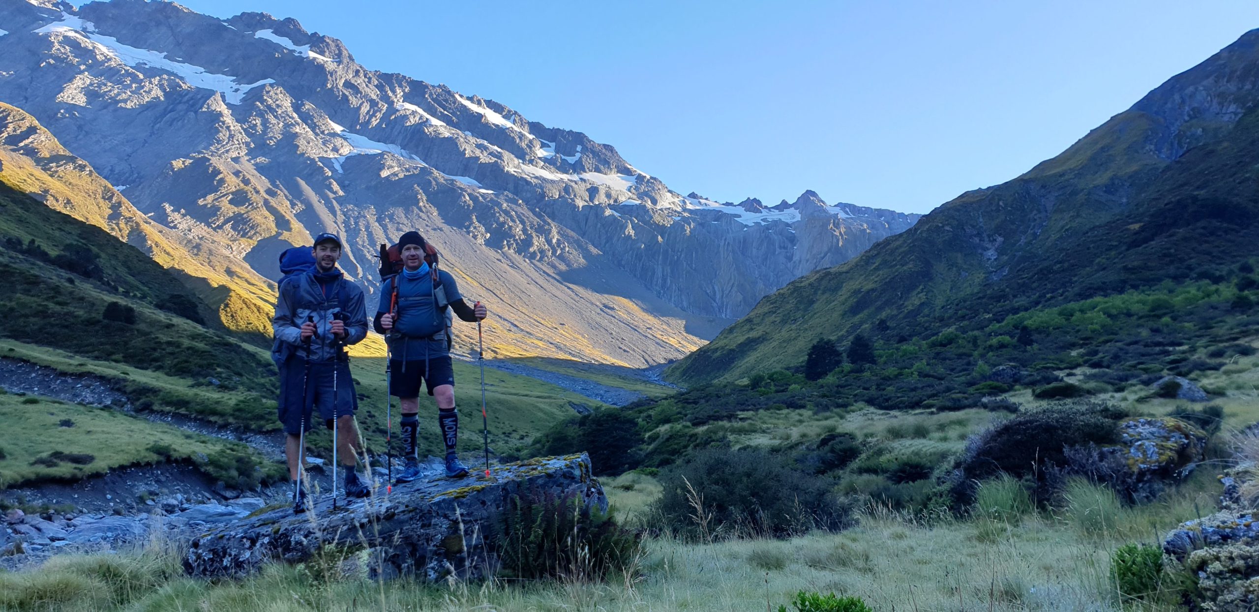
The most obvious line, and classic approach, requires two challenging and rewarding days of tramping. From the Gates of Haast, up the Wills Valley, over Wilson Pass and down to the forks. Combined with the paddle, this is a great 3-4 day trip route for people who enjoy a challenging tramp followed by a relaxed scenic float. If you just want ‘good’ paddling, there are more suitable routes and rivers for you to visit.
Day one: Gates of Haast to Upper Wills Valley 9hrs
- 4hrs Gates to Wills Hut (DOC says 5-6hrs)
- 5hrs Wills Hut to start of upper flats
From the Gates of Haast bridge, scramble up the true right over washed out, huge, unstable boulders to the orange markers at the scrub edge. Watch out for Ongaonga/stinging nettle in the first few hundred metres – some may appreciate long pants here.
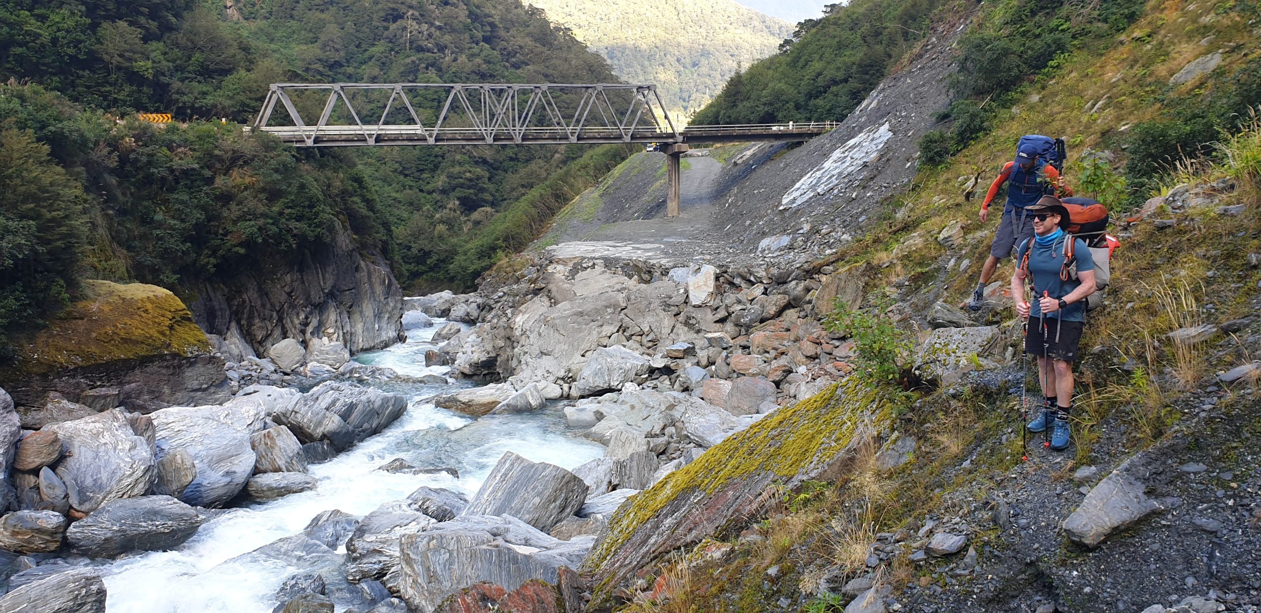
A rough track beyond the triangle quickly joins an old benched track that went to Haast Pass. At the Wills confluence, the track turns into a classic rough west coast experience. Steep up and down sidling, mud, side stream crossings and so on.
Its worth noting that Slip creek would quickly become impassable after rain.
Its a pleasant change to emerge onto the easy flats of the Wills valley.
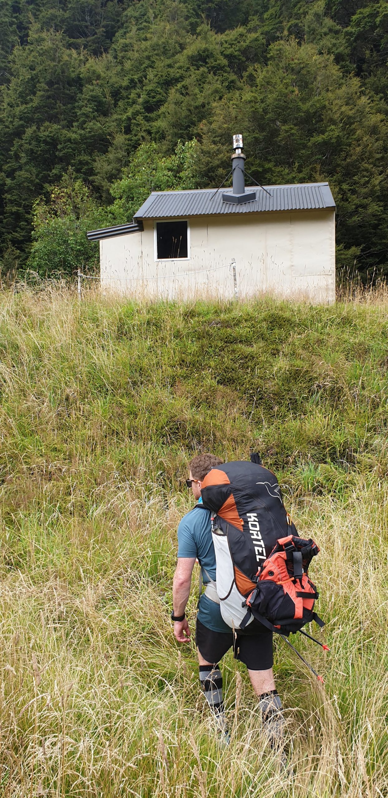
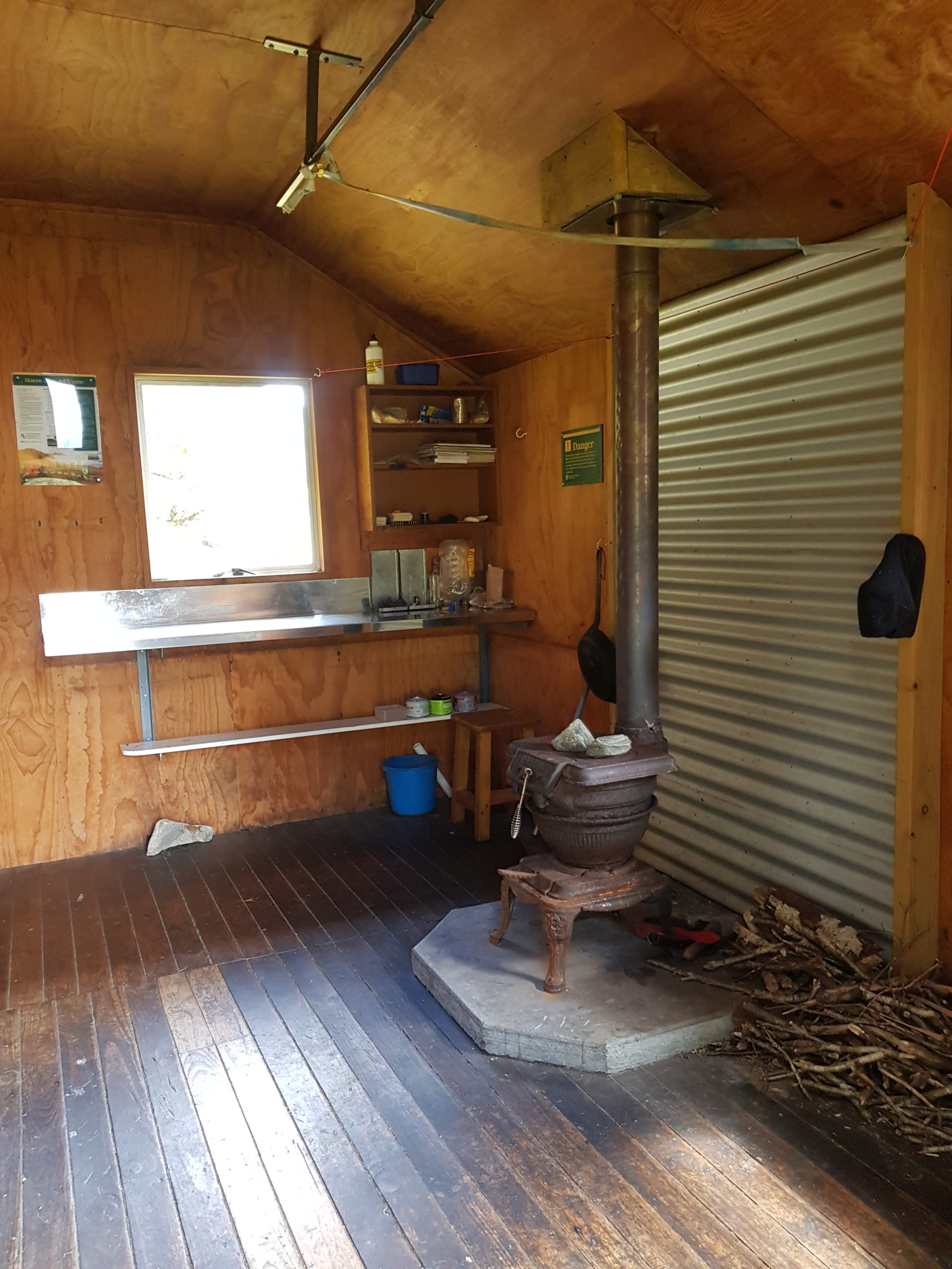
Wills Hut (4 bunks) is in fantastic condition and would be a great place to stay if you had more time on your hands.
More straightforward flats lead to an old slip by Tole Creek. Sidle easy bush on the true left.
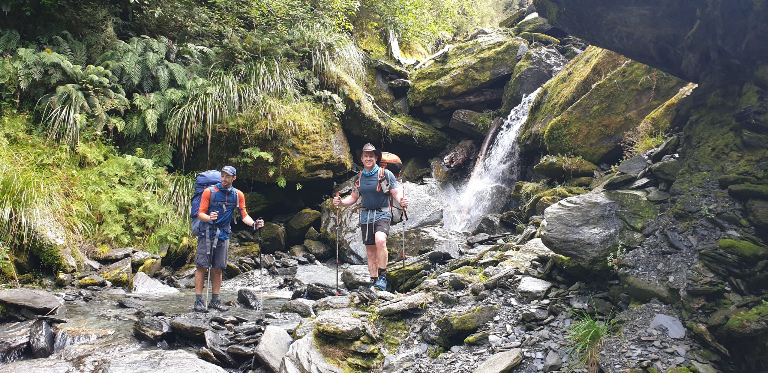
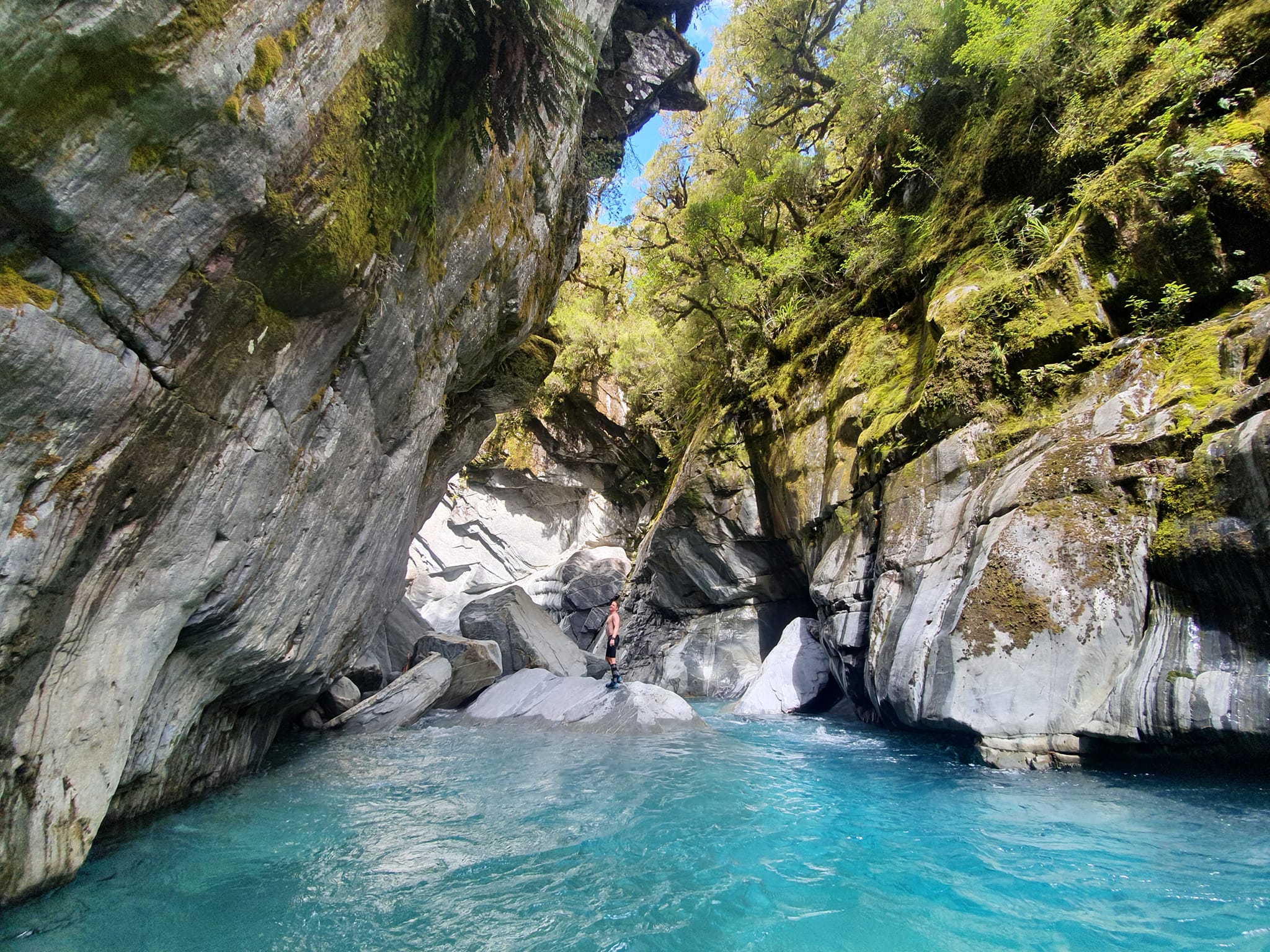
At Dukes Creek there’s short but spectacular gorge (not paddleable) which is well worth the very short swim and scramble up. Just don’t fall in the death sieve and you’ll be fine ;0)
Sidle easy beech on the true left, then settle in for the fun of the steep bouldery gorge, which lasts till the flats by Sweet Nell Creek. Its physical work, climbing a boulder, hopping across, then fording the river again and again. But on a hot day, its really interesting and fun travel. Moirs guide says sometimes its better to sidle in the bush, but we enjoyed the gorge. Your choice!
There’s plenty of camping options in the upper flats, which get sun until reasonably late.
Day two: Upper Wills to Forbes Hut 8hrs
- 3hrs: Wills upper flats camp to base of Wilson pass.
- 40 mins: Wilson Pass scree ascent.
- 2:30hrs: Wilson Pass to start of marked track.
- 2hrs: Track start to Forbes Hut.
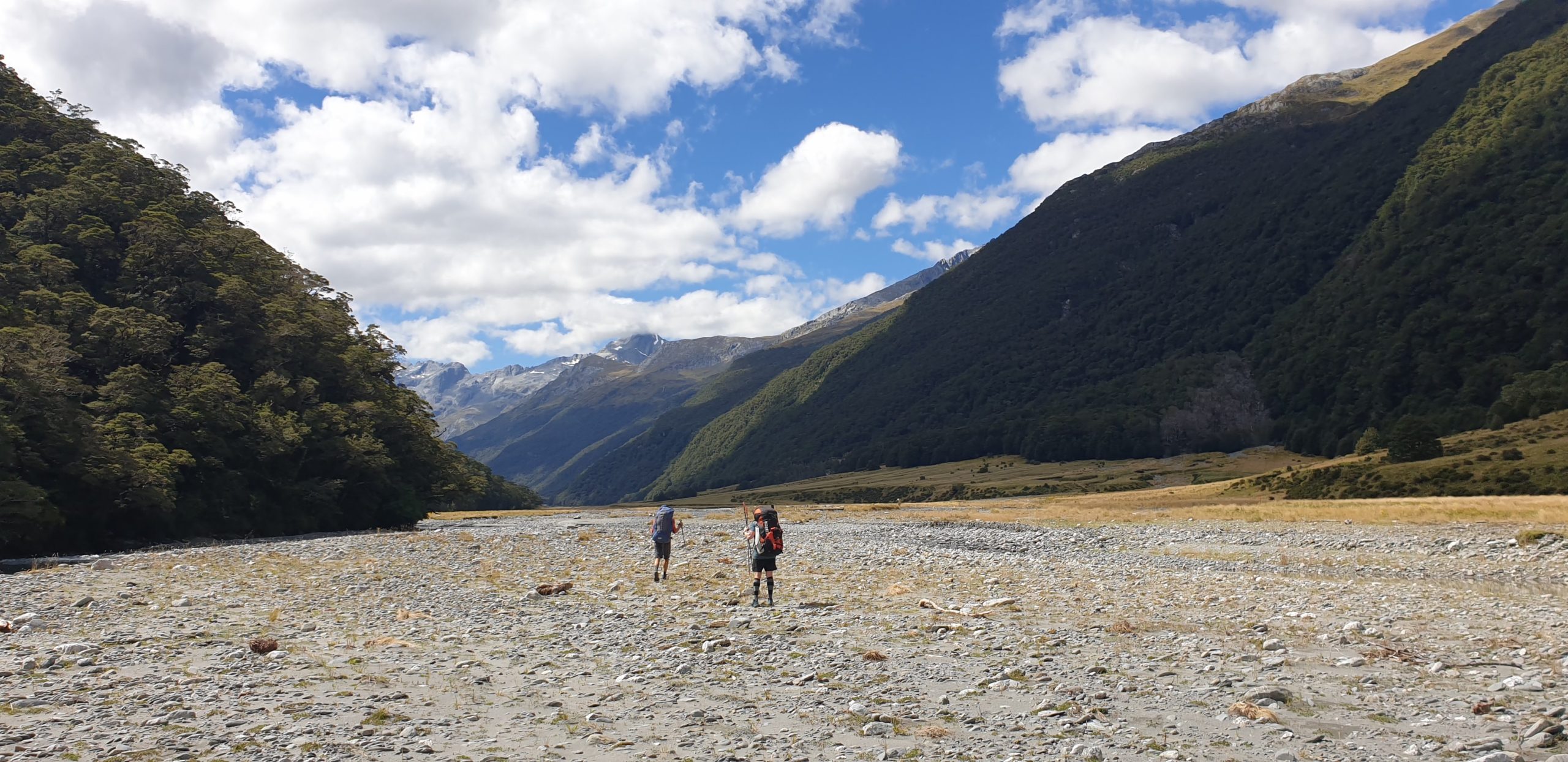
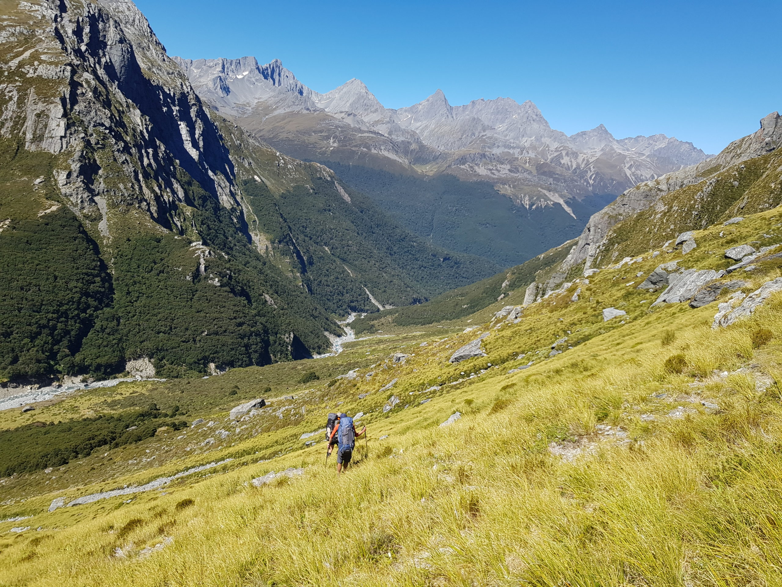
The upper Wills valley is pretty easy going, and route finding is pretty simple. Follow the river when it is easy, choose an open river bank when it’s not.
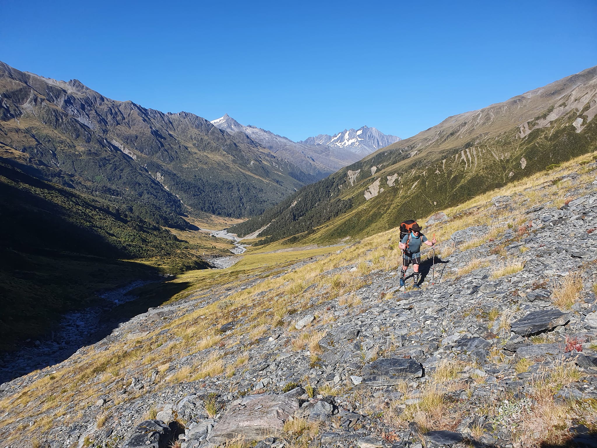
On the true right at 1240m, there’s an old moraine wall and the sad remains of a glacier. These make a spectacular backdrop to the final headwall of Wilson Pass, which looks a little imposing from here.
Moirs guide gives descriptions of various options, depending on snow conditions. It was late February so we climbed direct, in the obvious gully, just to the north of the pass.
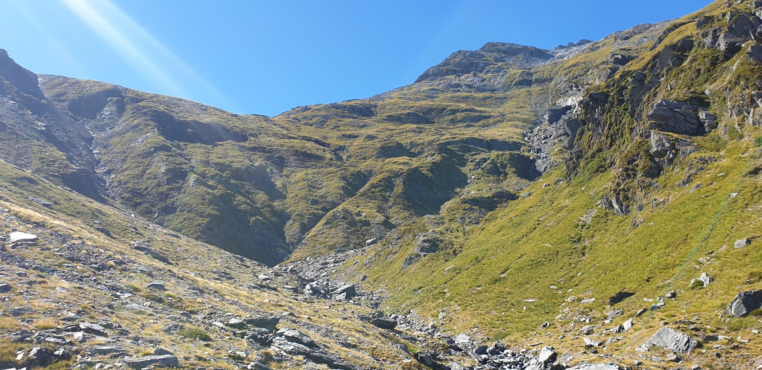
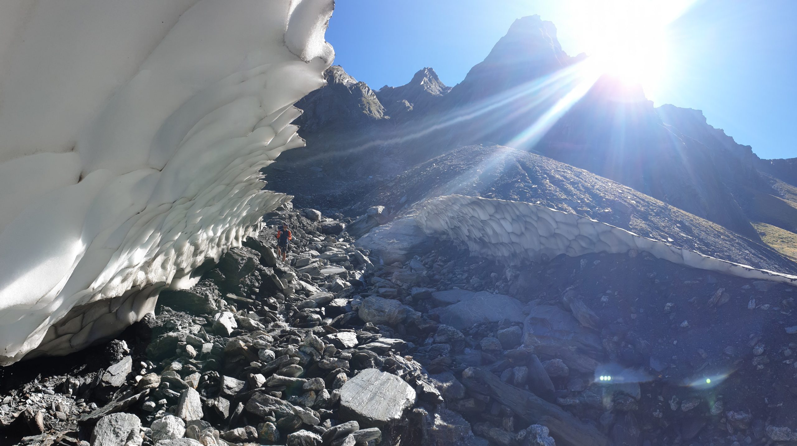
The line was pretty much straight up, and the scree in the gully was relatively loose. Nothing super dodgy, but requiring enough concentration that we were reasonably glad to reach the pass.

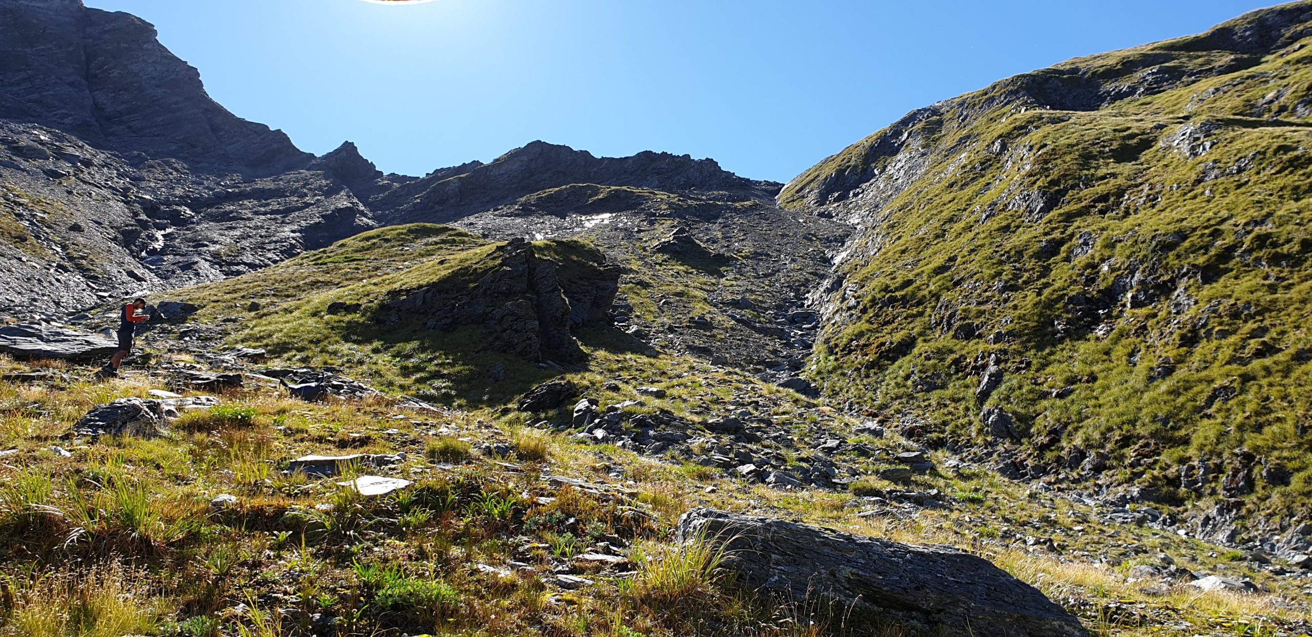
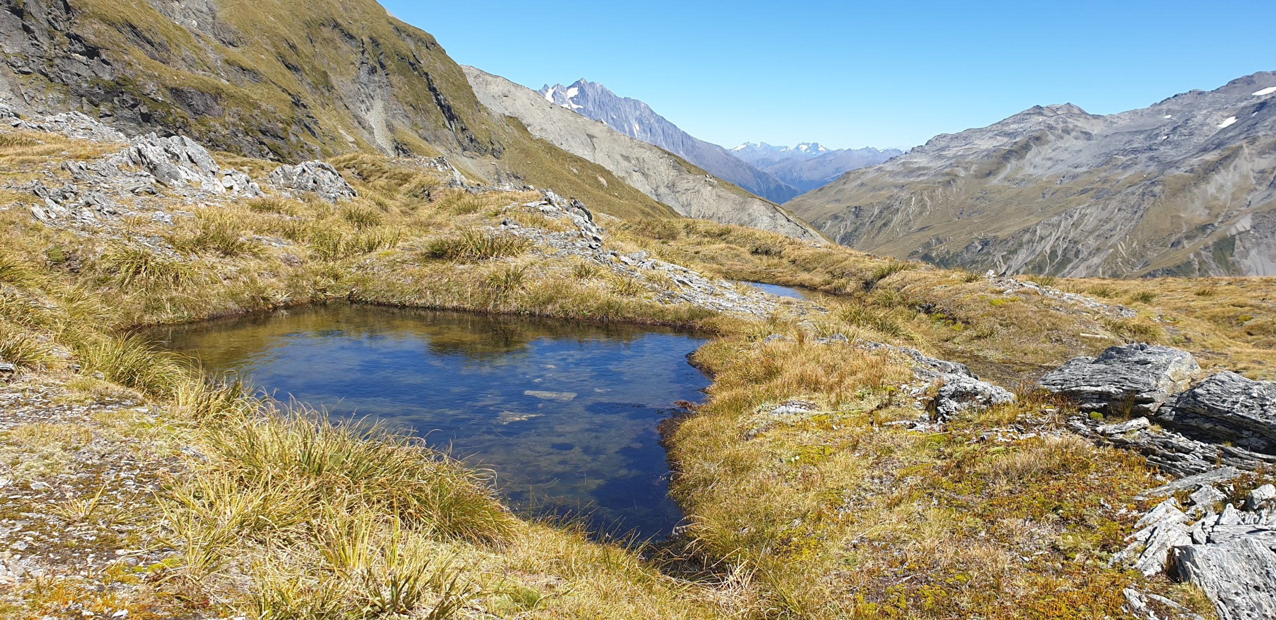
There were a couple of wee tarns, even in February: it’d be a magic camping spot in settled conditions!
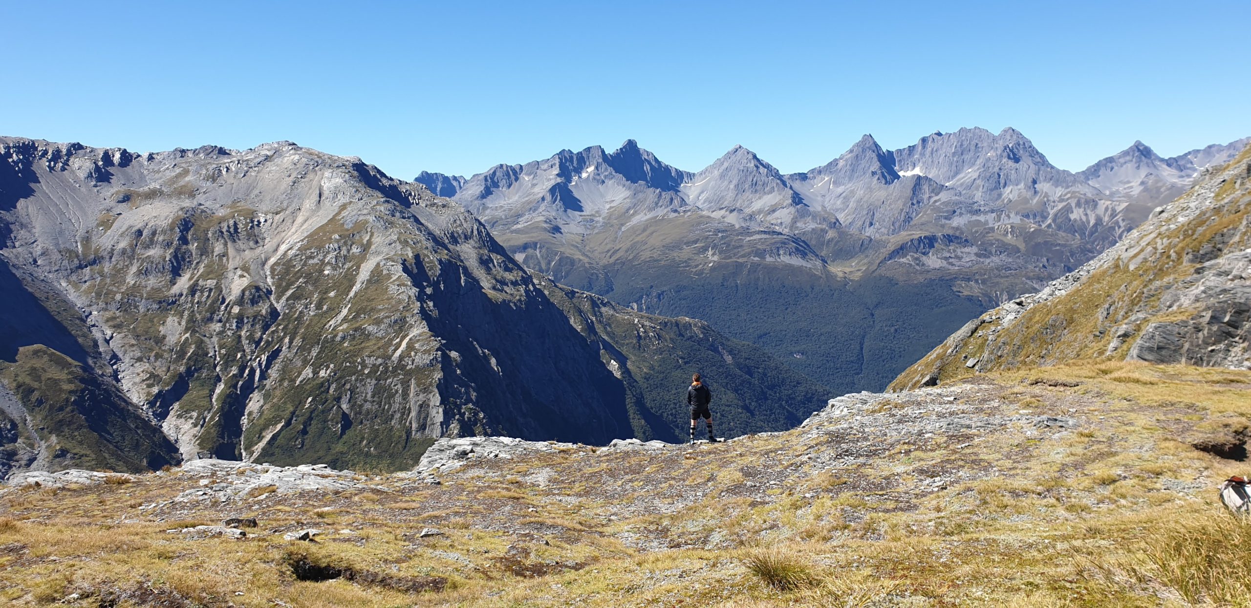
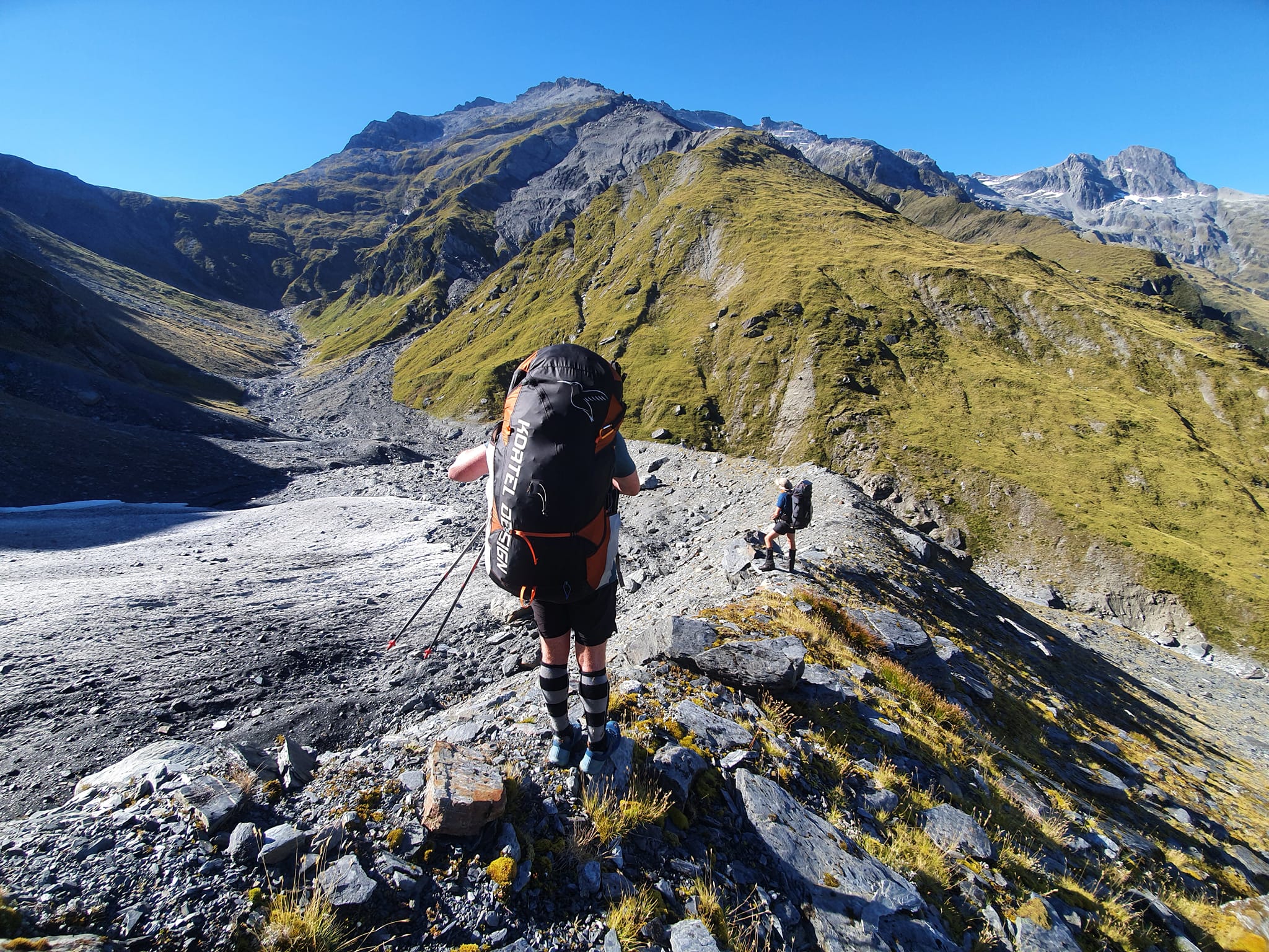
From just south of the pass, you begin the steep descent to the east.
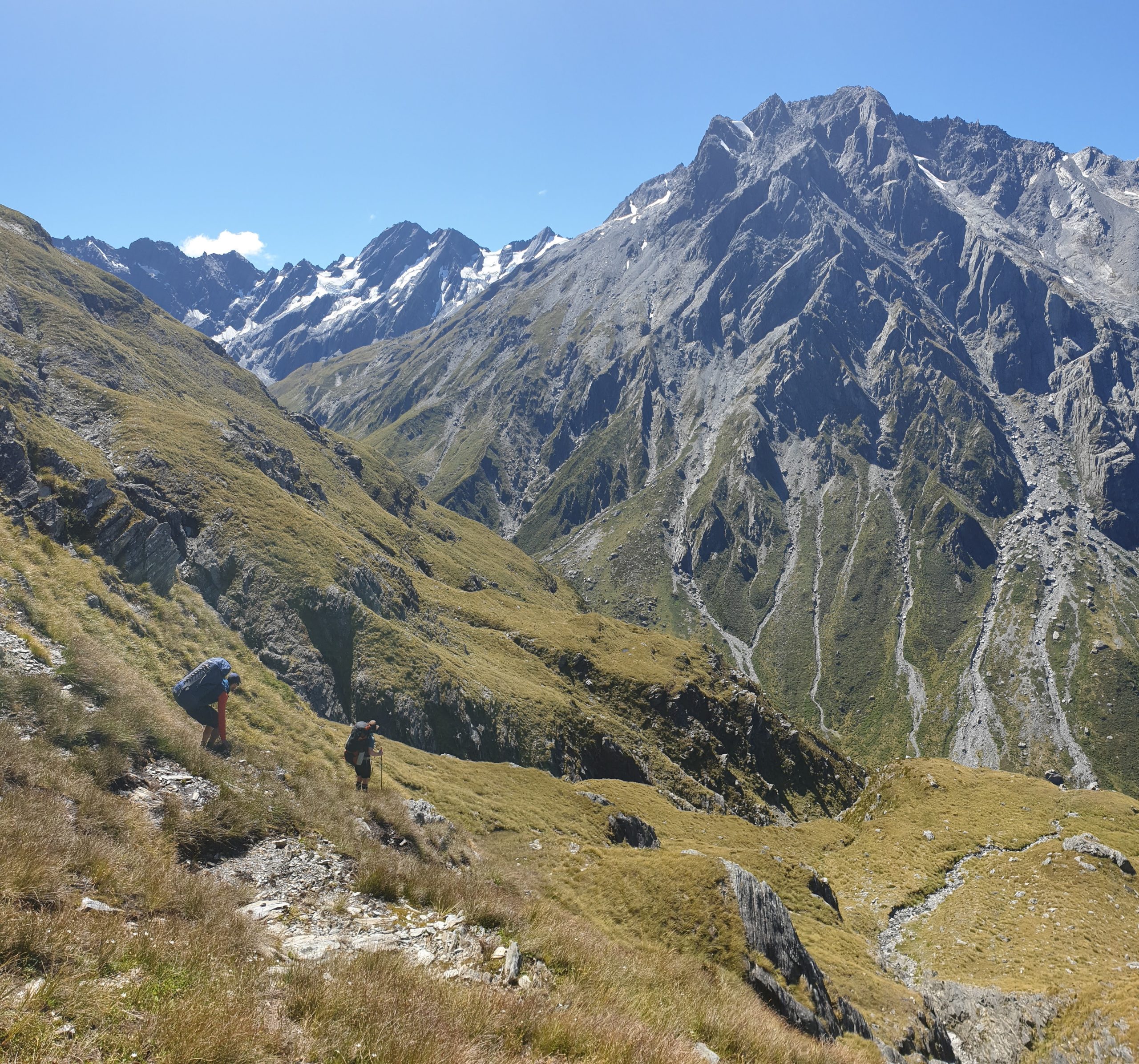
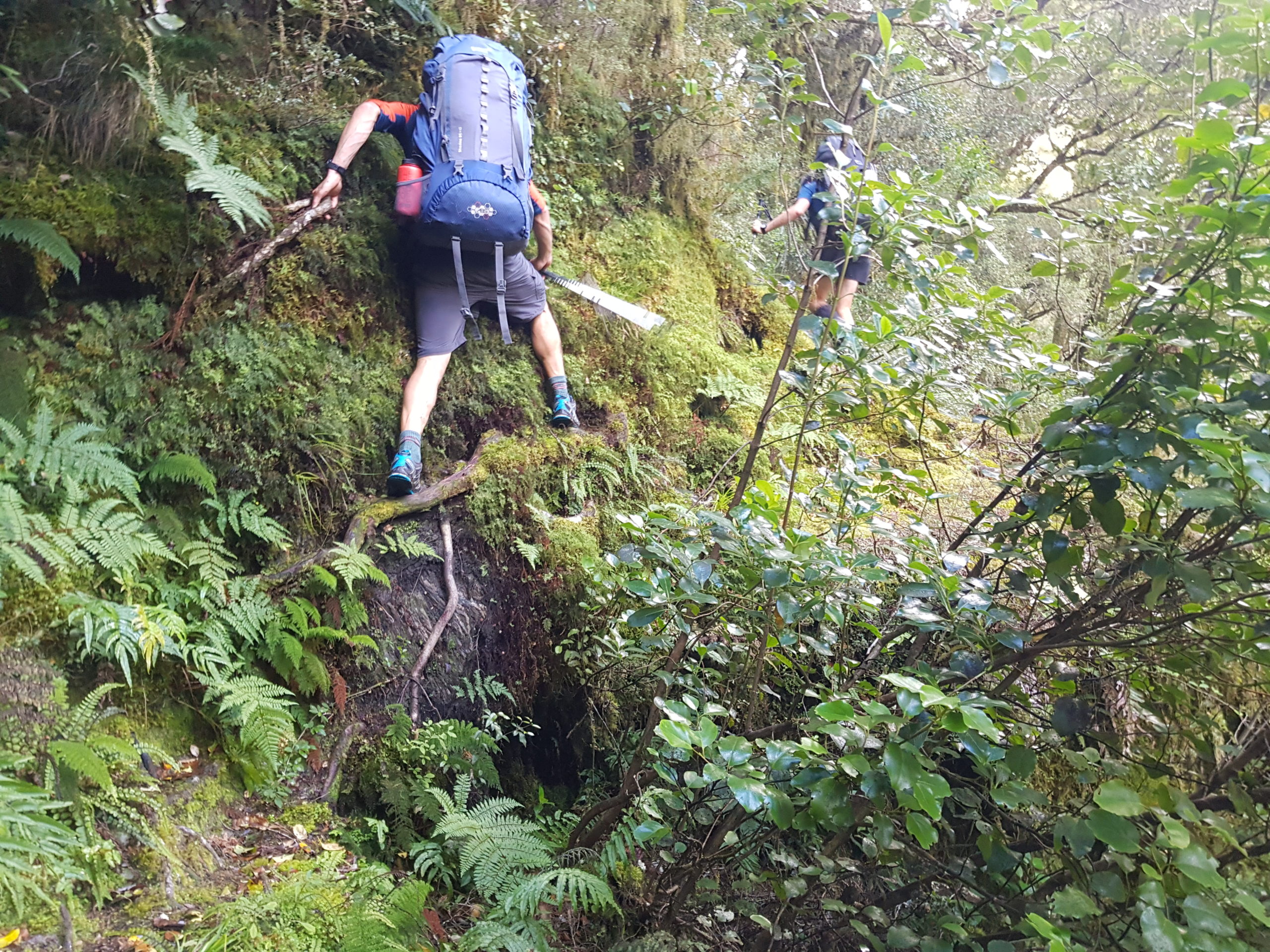
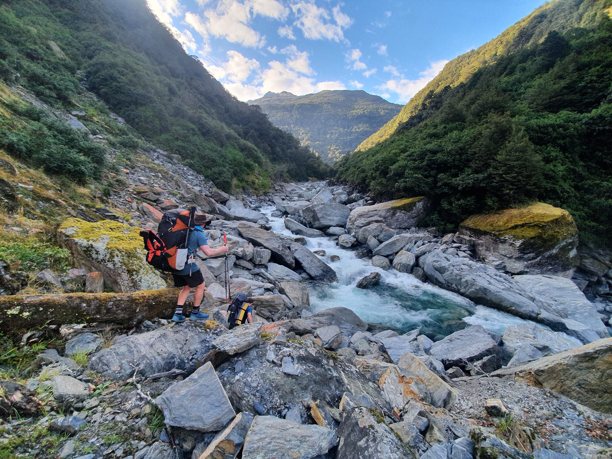
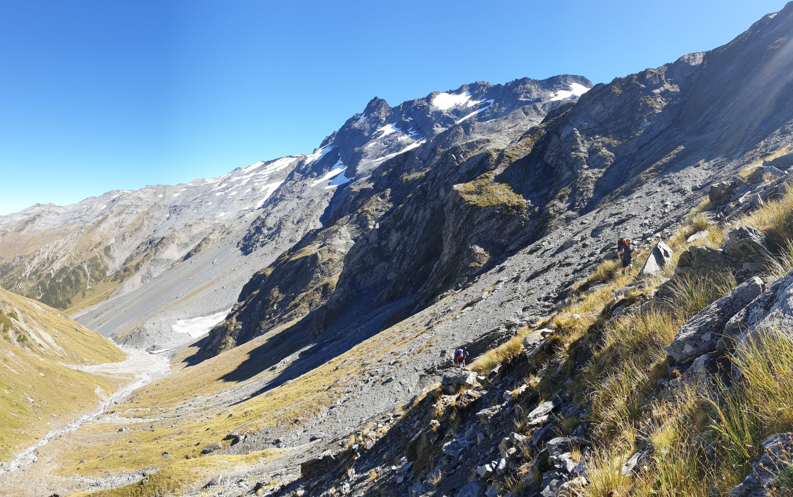
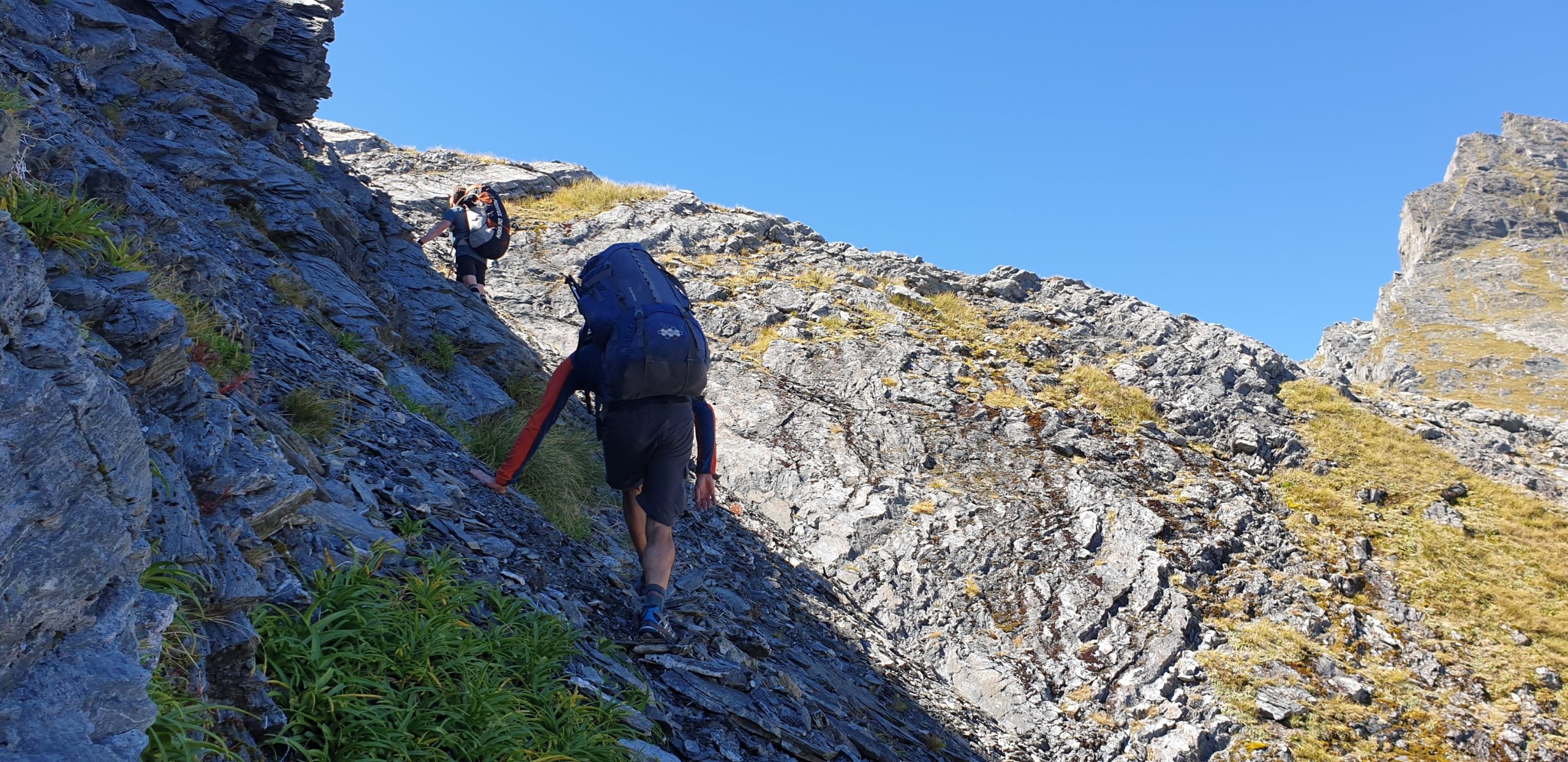
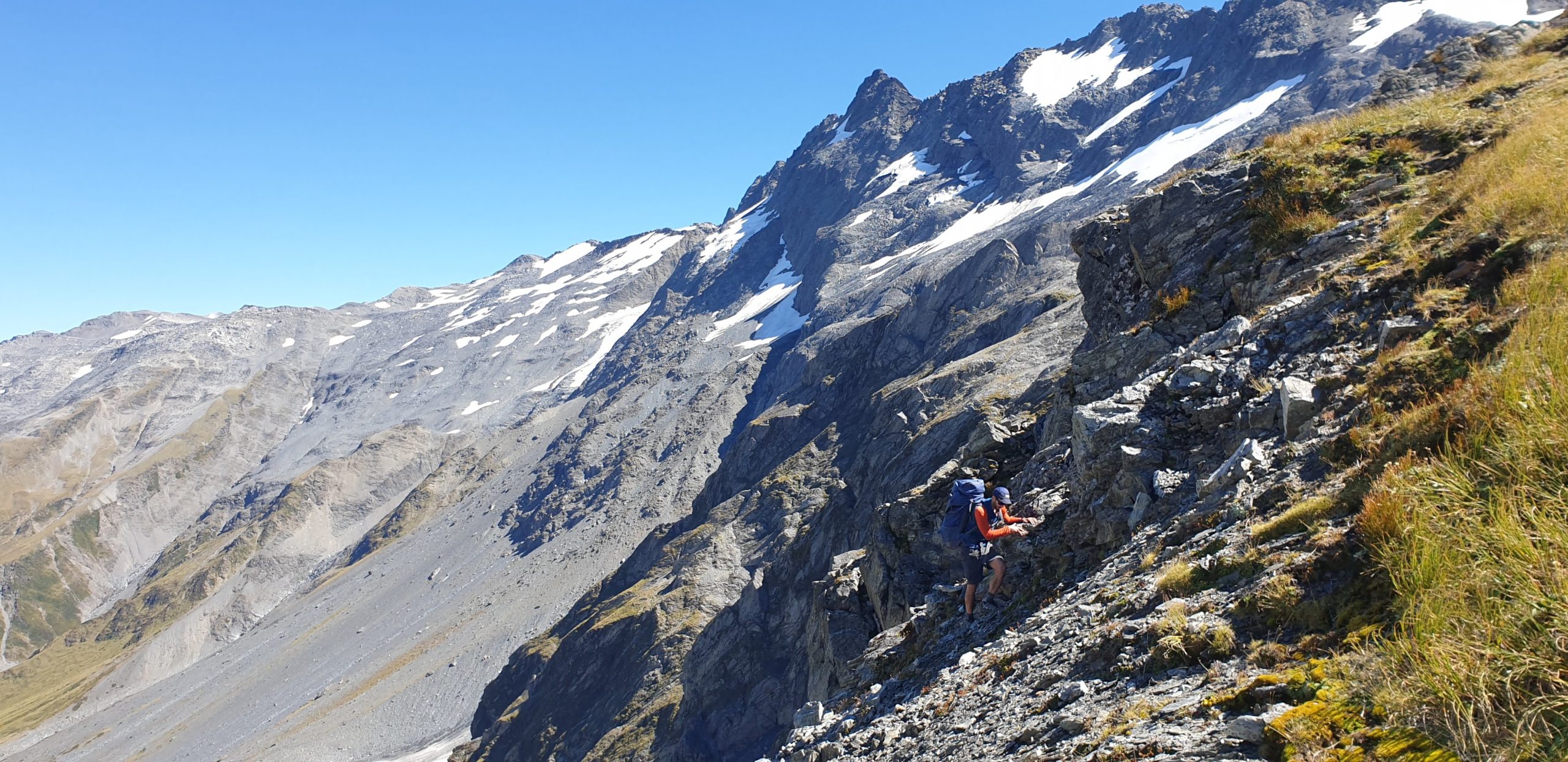
The east side was steep tussock, with a few bluffs to avoid. Slow and careful for the first 200m vertical or so, then we began the long, arduous descending sidle to the marked track.
The Moirs description seems to describe ‘the’ scrub band marked on the map, but not the other half dozen scrub bands, nor the deeply incised stream gullies which are sometimes tricky to cross.
If you aim for the largest single beech tree (marked on the topo!) at the 1020m contour. At the tree you can pick up a faint deer trail. (literally, scramble beneath its branches), The deer really helps travel through that particular scrub band. For the others, it is a bit of old fashioned type 2 fun until you reach the track.
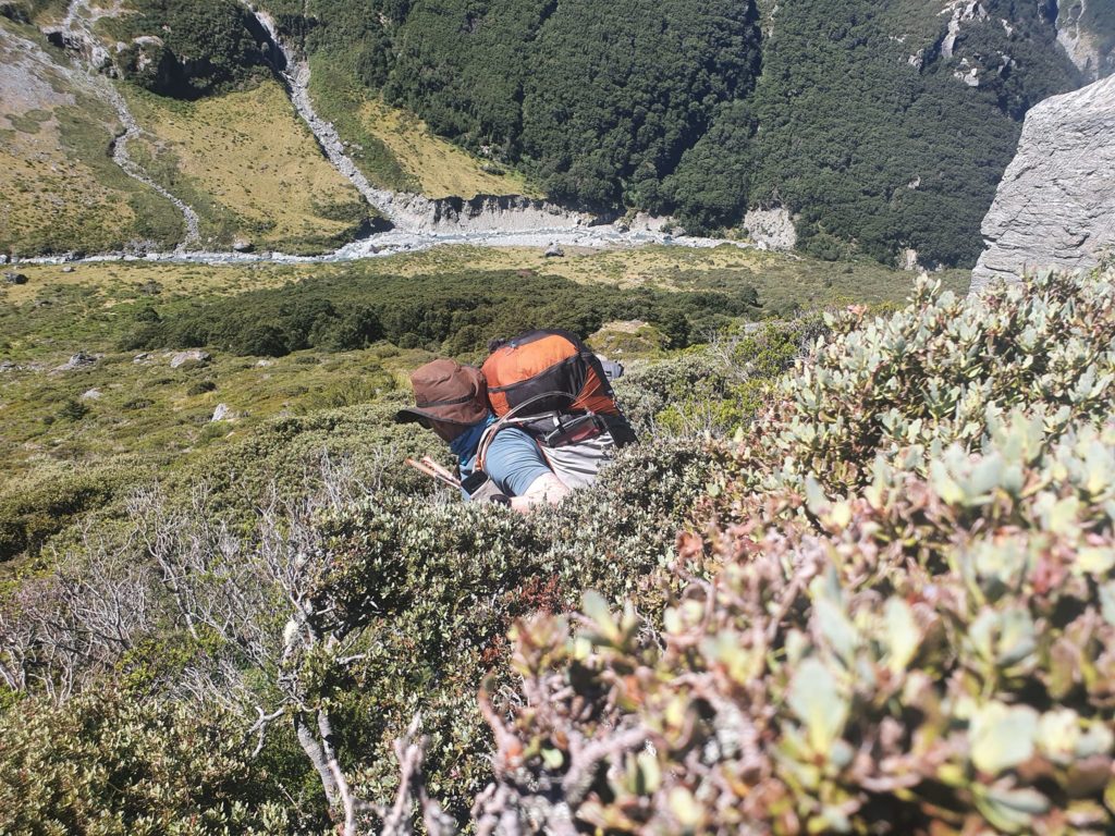
There was plenty of water above 1300m, which we regretted not filling up from. Things got a little thirstly during the scrub bash until we found water again on the track at 800m… The track feels like a highway after the scrub and is generally well marked and straightforward to follow.
There are camping options where the track crosses the West Branch, and the sidle along the gorge is surprisingly pleasant, through open beech forest.
If you were keen, you could paddle from here. We didn’t fully scout the gorge, but it begins with a river wide sieve, and we’d made the conscious decision to not take whitewater safety gear like throwbags/helmets, so we didn’t try to paddle any of it.
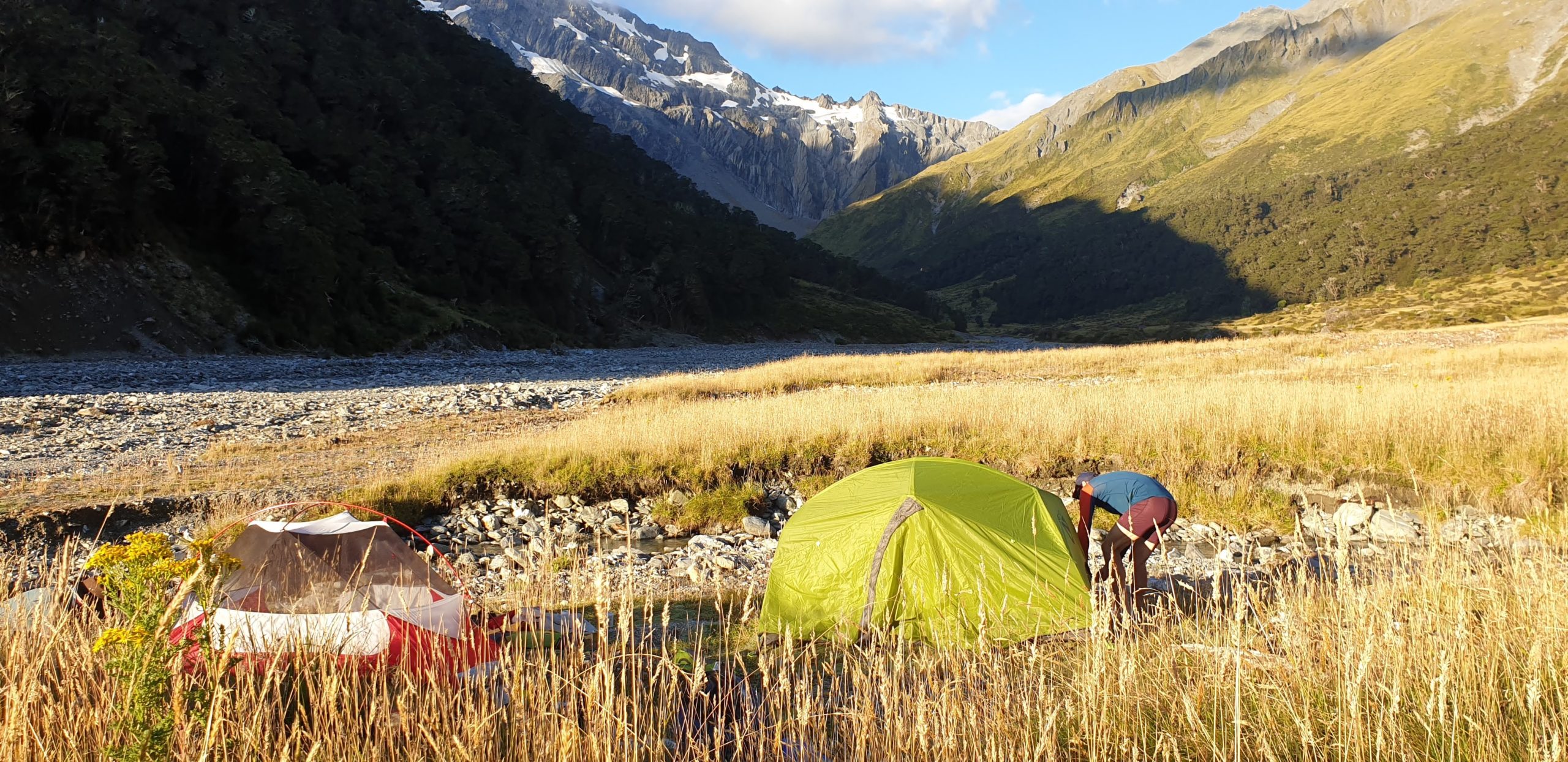
Forbes Hut is a great 6 bunker with water from a creek right behind the hut. It’s hard to walk past; even if it is full, the huge grassy flats make limitless and stunning campsites.
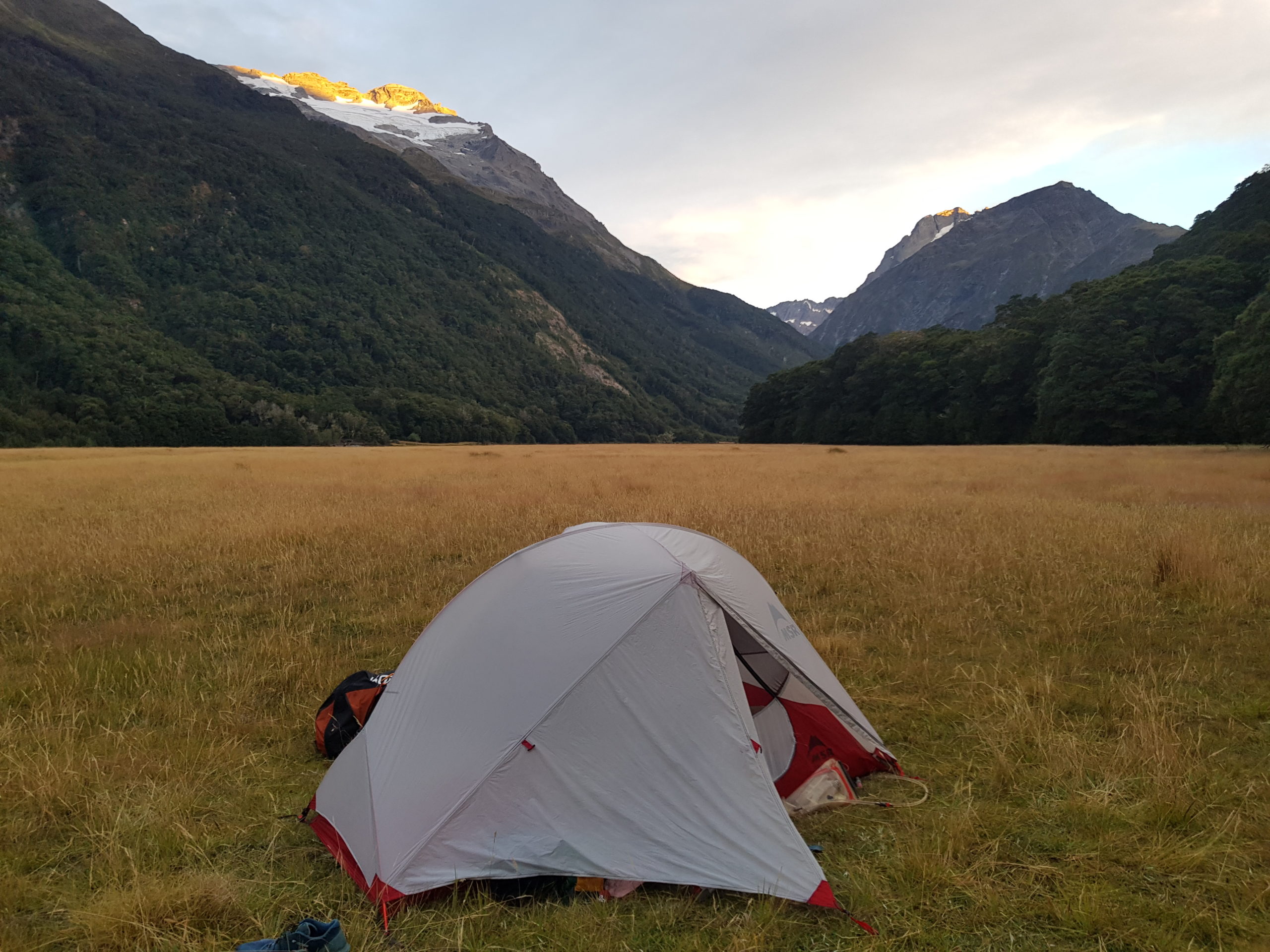
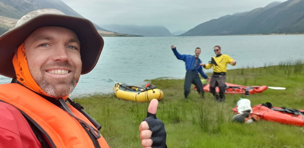
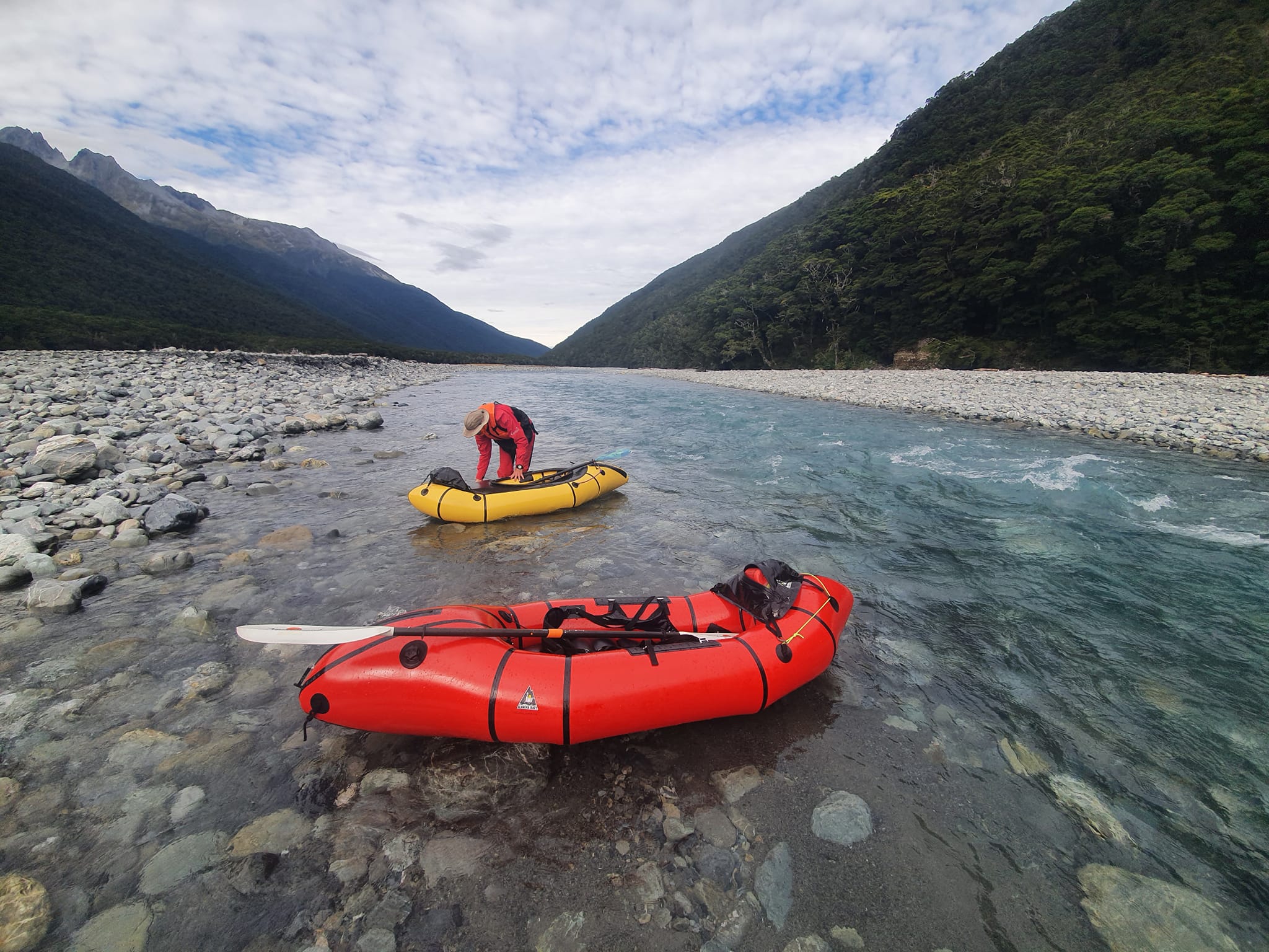
But you want to be on the river first thing, then continue down to camp on Joes Flat where the paddling begins.
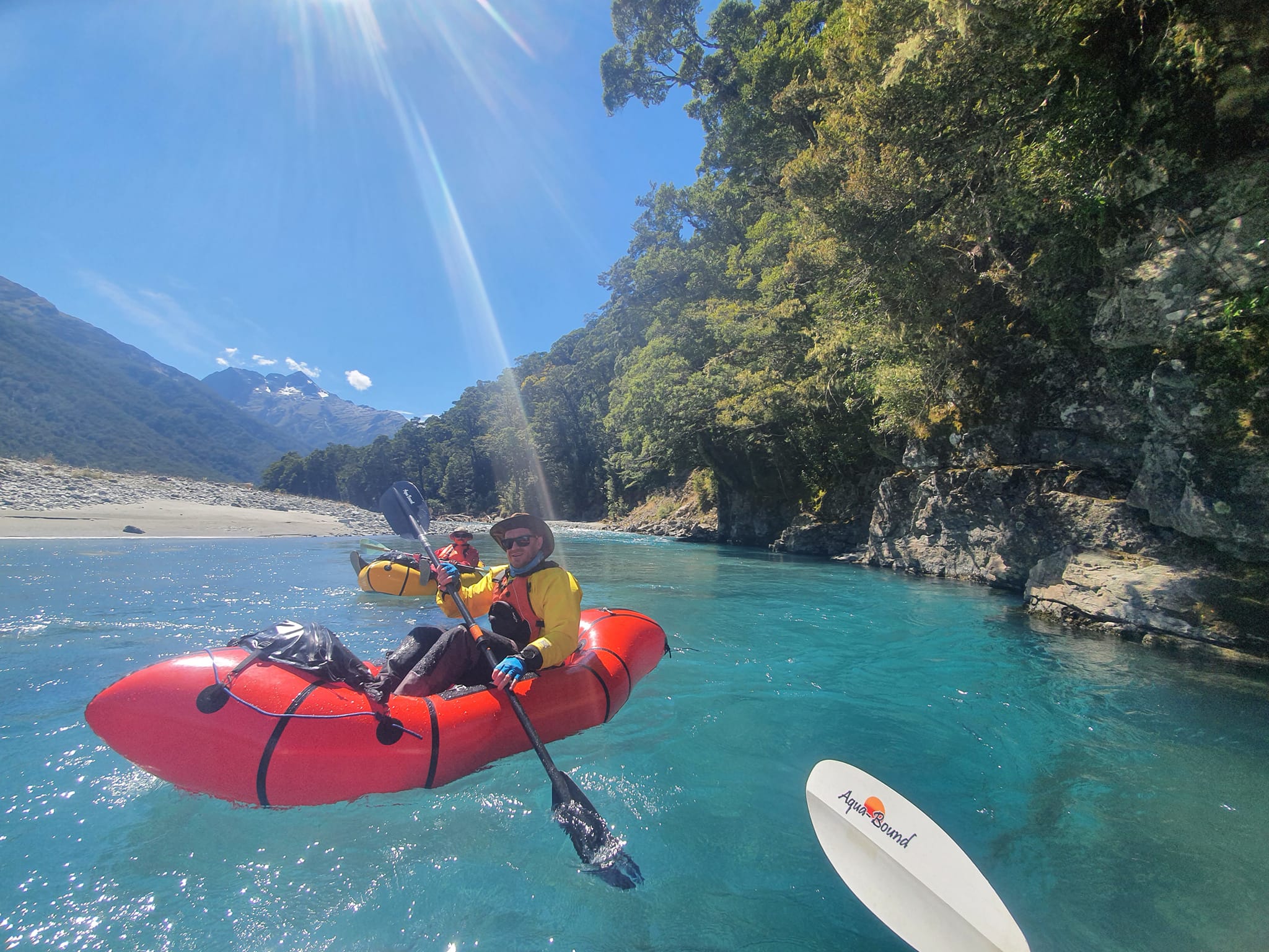
On the river
The major tributary of Lake Hawea, the Hunter River drains glaciers on the main divide of the southern alps and crashes through steep, rough headwater gorges. At ‘the forks’ the west and east branches join into a delightfully scenic and splashy single channel before passing through one short gorge just below Forbes Hut.
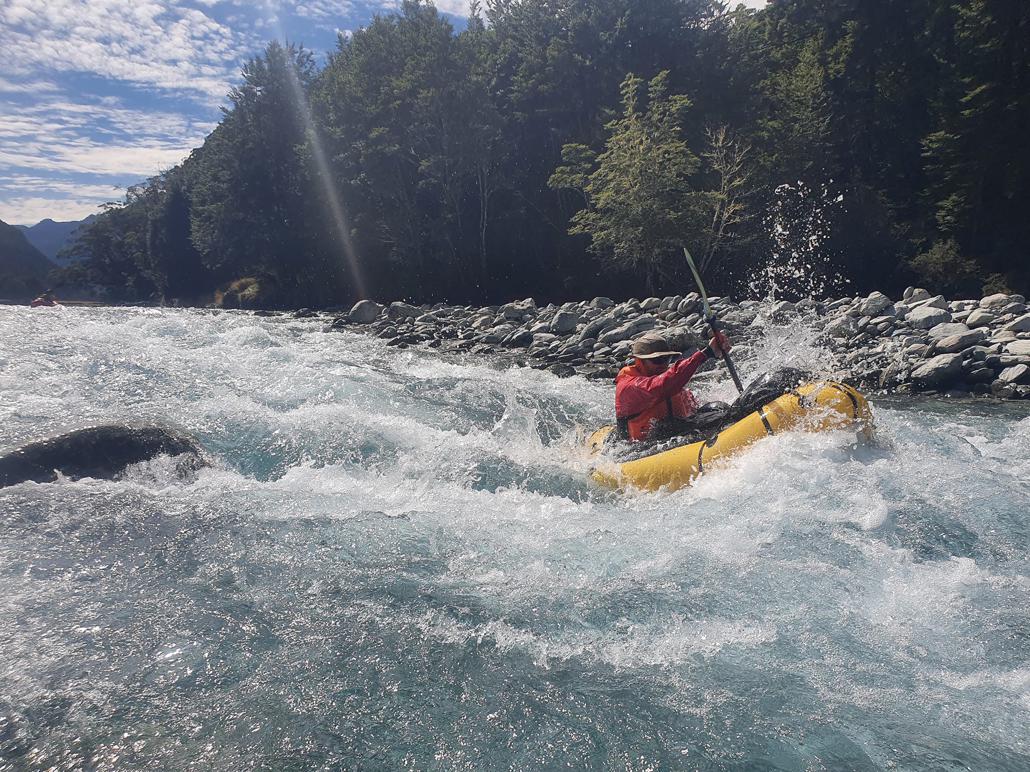
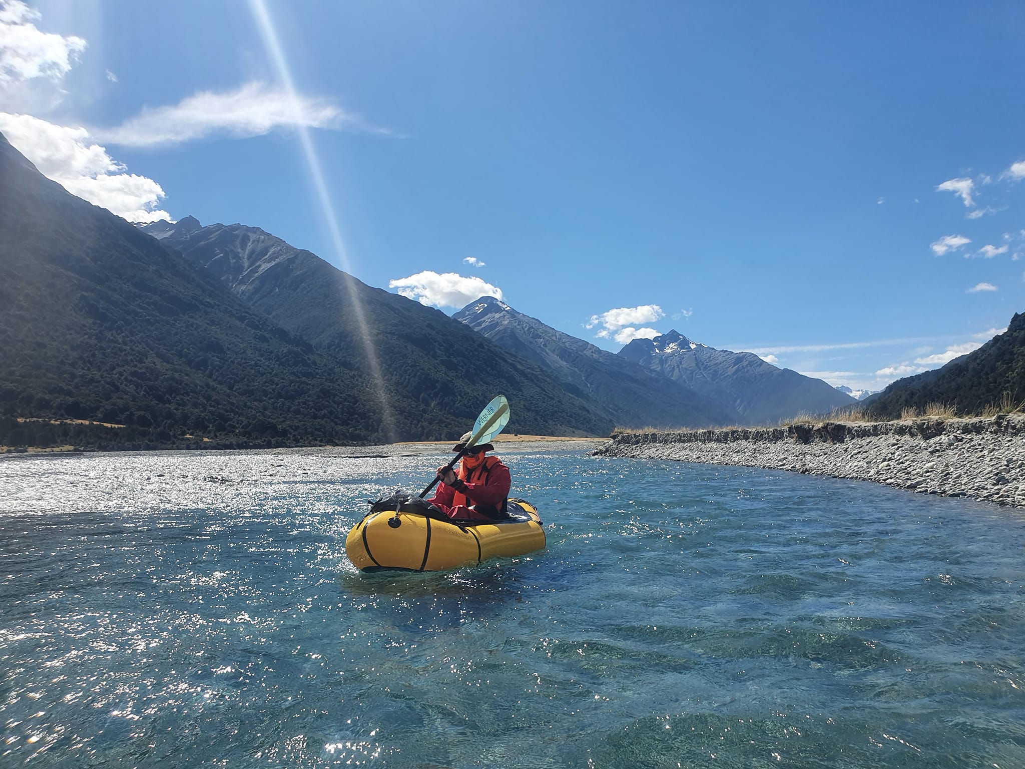
From here down it is about 30km of extremely scenic and relaxing paddling. The Hunter passes through classic grassy flats, flanked by mature beech forest. Spectacular rocky summits are guarded by minor glaciers, and eventually, the single-channel spreads into extensive braids. There’s a handful of slightly larger wave trains, but mostly its grade I.
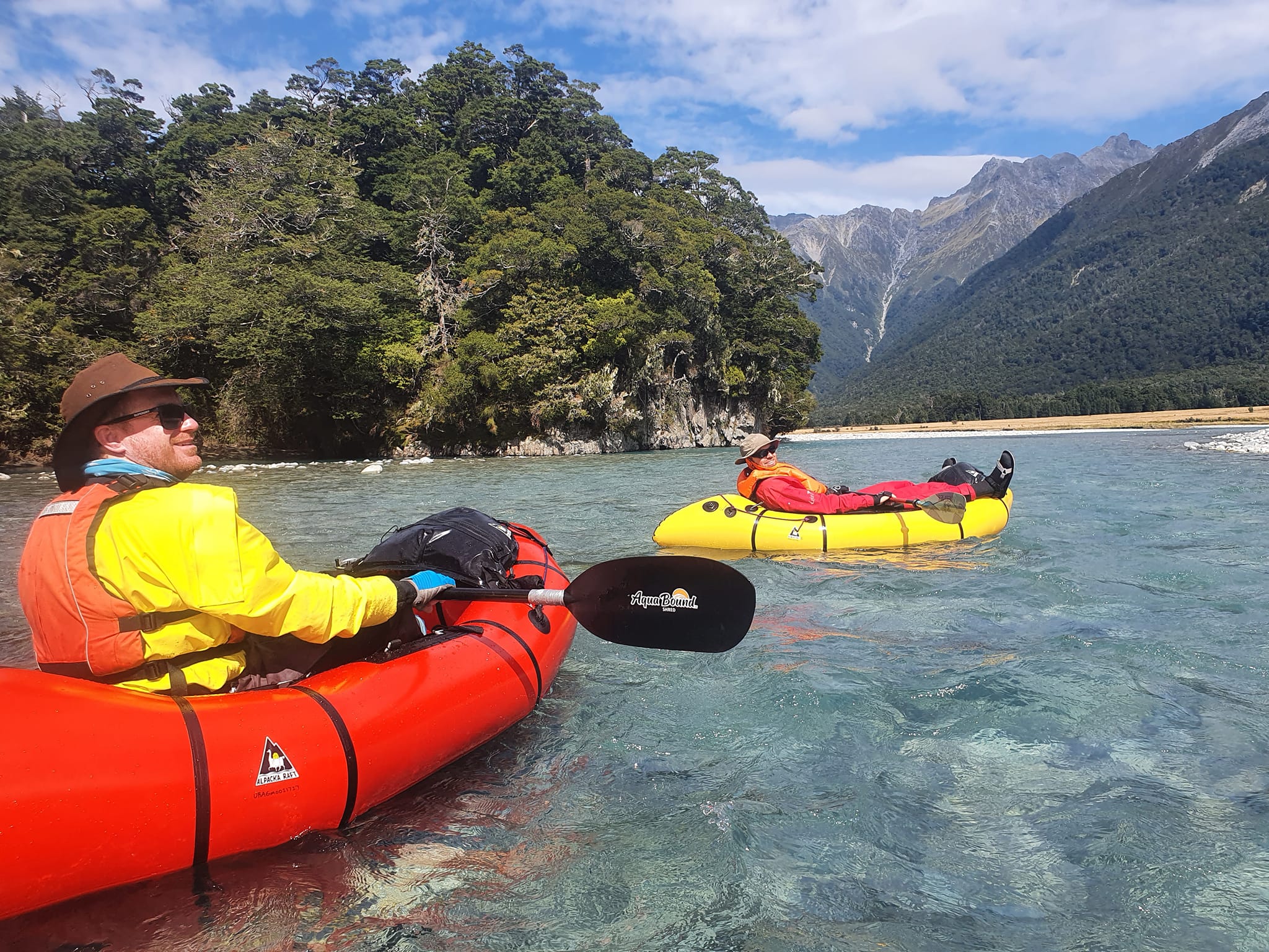
The valley is unsurprisingly similar in character to its western cousin, the Makarora, but the solitude and challenge of accessing the headwaters make it just that extra bit special.
In fine weather, a valley breeze grows to a serious headwind by early afternoon, and if there’s a nor-wester forecast, expect a gale on the water. Even in February, when the valley breezed kicked in we were glad of our drysuits.
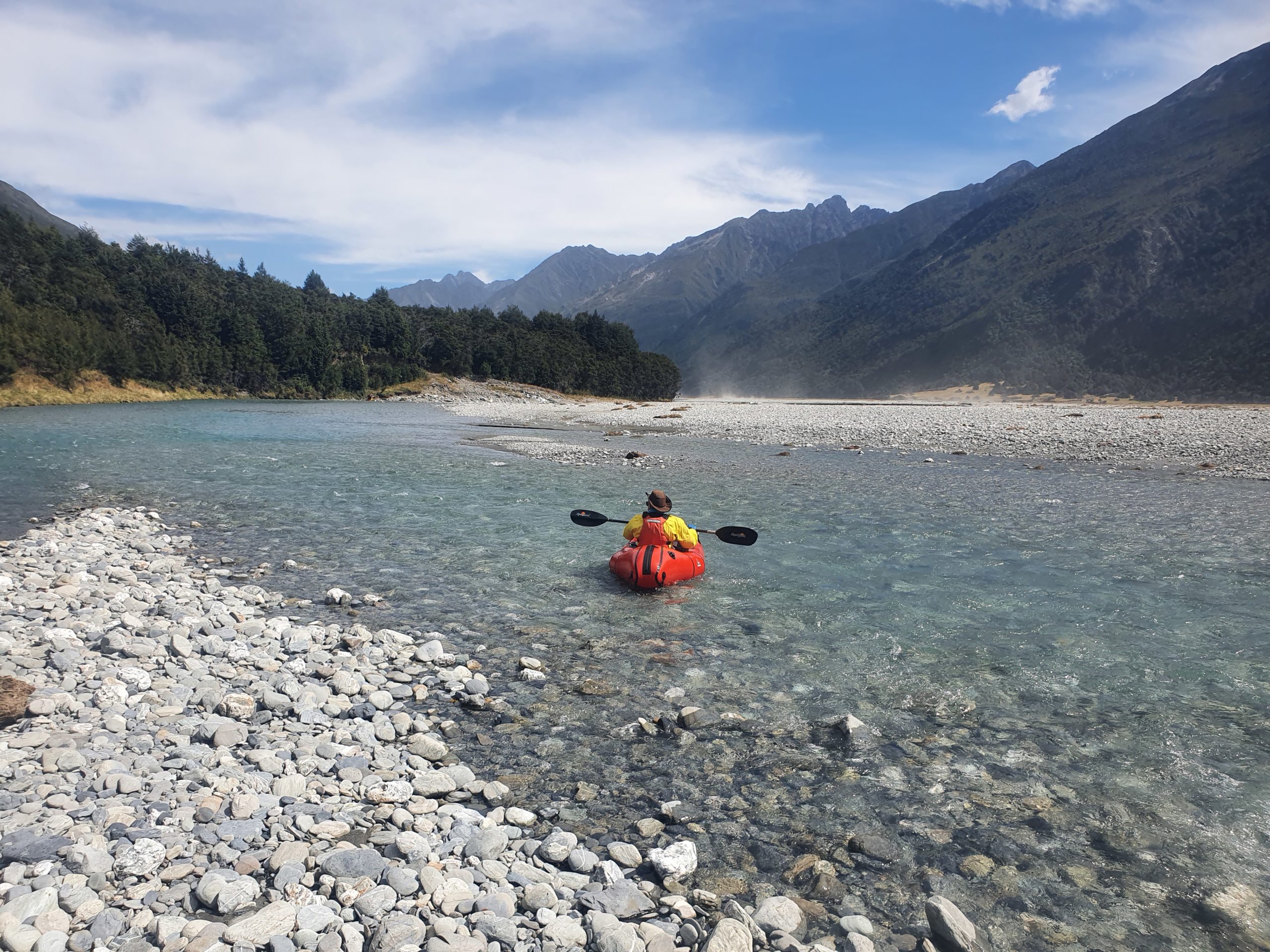
The lower braids become tricky to navigate in low flows. Although mid-summer is possible, spring or early summer is better.
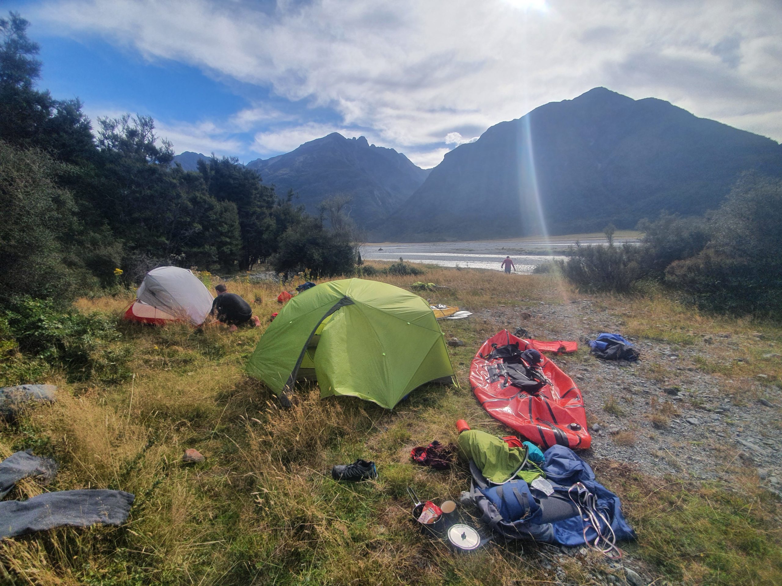
You could paddle the whole river in one long day, but it is best to savour the valley with a night in a hut at a camp on the public land partway down.
Sheltered camping options get fewer the lower down the valley you go: the last such spot before the station seems to be the scrub by the creek 1km north of Wind Pudding Creek.
Like its cousin, the river empties into the head of one of the South Island’s bigger lakes. But for the Hunter, getting back home again requires a bit more planning and logistics than just strolling back to State Highway 6.
Either way, you’ll want to set aside roughly 2-4 days at least, depending on the methods to approach and exit the valley.
Thank you to Dan Clearwater, David Cleary and David Stevenson for the trip notes and photos.