Gorgeous gorges….
The Lochy is a steep and spectacular run through bedrock gorges and beech forest-lined hillsides. It is the dividing boundary between Halfway Bay & Cecil Peak Station, on the western shore of Lake Wakatipu.
Hardshell kayakers use a helicopter to get to the put-in, (see the entry on Riverguide.co.nz) but advanced packrafters can make this into a wonderful out & return weekender.
Day one 5-7hr
- Lake crossing 1 – 1.5hr
- 4WD track to put in 4-5hr
Day two 5-8hr
- Technical paddling 4-6hrs
- Lake crossing 1-1.5hr
Thanks to Dan Clearwater & Richard Sidey for the photos, videos and information.
View Larger Topographic Map
Video best viewed in full screen mode on desktop…
Planning
Permission: Halfway Bay Station
A look on the Herenga a Nuku / Walking Access NZ website will reveal unformed legals roads and marginal strips from the mouth to the put-on, but in practical terms, these publicly accessible parcels of land don’t line up with the best walking route.
This means that permission should be sought from the station manager: Send a whatsapp message or text to 027 200 8044 with your intentions & request, at least a couple of days beforehand. In general, access is usually granted. The river gets a fair bit of use from trout fishers, so expect to see them, especially in spring time.
The approach route written futher below was the preferred option at the time, the station manager might have specific requirements or requests when granting permission.
Weather & crossing Lake Wakatipu
The out and return trip involves a 3km open crossing of Lake Wakatipu at the start and end. The lake can chop up very seriously on a windy forecast, so pick relatively calm weather for your trip.

However, locals know that on a relatively calm day, the southerly sea-breeze can come in really strong (like upwards of 30-40km/h making whitecaps and hazardous packraft conditions.)
Lake crossing’s are often underestimated, and people often don’t know how to prepare correctly. The main hazard is a capsize and being separated from your raft in (very) cold water.
The most important points are:
- Wear good cold-water protection, even on a hot day
- Have your PLB secured (with a cord) to you, in a place you could activate it whilst floating in the water.
- Leash yourself to your boat, so it can’t blow away from you.
- Stay together as a group.
These lake crossing considerations (and others) are explained in detail on the Hollyford-Pyke routeguide on this site.
Weather and flows
There’s no gauge on the Lochy. Due to its location away from the main divide, the Lochy gets rain less frequently, and to lesser amounts. But the catchment is reasonably large (300+sq km) and the gorge narrow & steep, so any decent precip will send the flows sky-high, but equally the river will drop rapidly too.
Good packrafting flows are more likely early summer, when the snow has melted, but before any long-dry spells. If there’s a decent storm, its wise to wait a day before heading in.
When you contact the station manager, they will have a good handle on the flows in the lower river: you probably want the flow to be ‘pretty normal’ rather than notably high or low..
Approach 5-7hrs
Park a car at the boat ramp just off SH6, and get yourself prepped for roughly 1 to 1.5hrs of lake paddling. If you have a GPS/Phone, it wouldn’t be a silly idea to mark this spot for the return journey. If you happen to have access to sea kayaks, they provide a faster and safer way to get across the lake.
Your aim is to arrive at the mouth of the Lochy River. From the river mouth, closely follow the true right bank of the Lochy upstream. You may have to cross and re-cross where a bluff barrs progress, roughly by the ‘Y’ of Lochy River as marked on the Topo50.
This crossing should be easy: If it is tricky then the flow in the gorges will be high. During good packrafting flows you’ll still probably have to get out and walk over shingle fans at this part of the river.
Continue on the true right, to the Long burn confluence. About 900m beyond the confluence, find a place to cross the Lochy and scramble up through open beech forest to find a well-used 4WD track.
The track follows the true left until it crosses at Disputed Creek (good camping options here). Beyond Disputed Creek the track climbs well above the river. The track comes back to the river again (more good camping) before making the final climb above the top gorge to the put-in.
It is roughly 4-5hrs from the river mouth to the start of the flats.
There’s good camping options on the flats above, but like the camping options mentioned below, you may encounter cows or other live stock. The swingbridge marked on the topomap doesn’t exist (at December 2022).
It is worth noting that below Disputed Creek there are tracks on both sides of the river: if you get into trouble with high flows, either can be options for escape.
The Lochy (IV & portages) 4-7hrs
The Lochy is somewhat similar in character to the Greenstone River (which is at the head of Lake Wakatipu). There are steep sections with lots of sieves, huge boulders, short but inescapable canyons and more than a few logs in the water. Plus sections of calm water and magnificent scenery.
For packrafters, the ideal low flow is when there’s just enough water that you aren’t scraping on every rapid.
Although the gradient means the rapids are continuous, when the flow is right, the reduced power means that catching tiny eddies is much more reliable. This way, you can break down ‘class IV’, drop by drop, paddling those bits which have good lines and run-outs, and portaging those that don’t.
In this sort of water, a good team will form a smooth and continous rolling rotation where everyone has a job.
The front people will get out to scout on foot and set safety, then indicate lines to those who are about to follow. The paddlers run the drop, then become scouts ahead or become safety for those behind. The initial scouts then walk upstream to take their turn as the last paddlers. This way, at all times, the group is simultaneously scouting or paddling with safety in place.
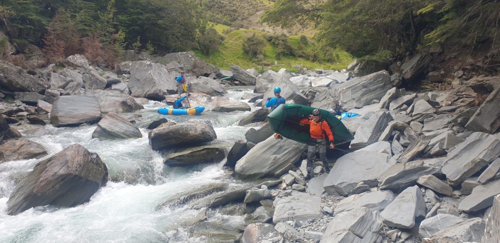
When the flows are up a bit, in class IV terrain, the eddies shrink or vanish, meaning that paddlers have to commit to longer sections of drops before a reliable stopping point. This dramatically increases the hazard posed by all the rocks & seives, plus the technical paddling skill required to run it responsibly.
Times depend a lot on flows, teamwork and skill level.
The top section: Flats to Disputed Creek
Right from the flats, the river drops sharply into the top gorge, with lots of horizon lines.
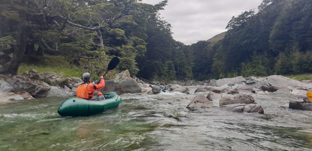
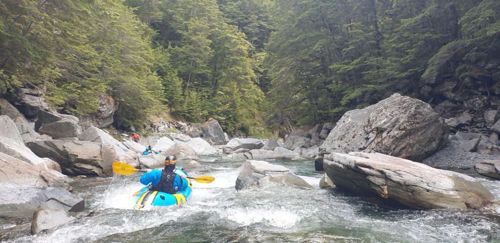
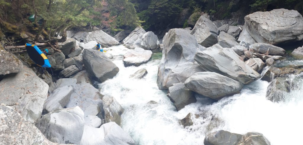
Expect to scout lots and portage frequently. It is continous IV water, with some classy drops to run when the flows are right and the team work is tight.
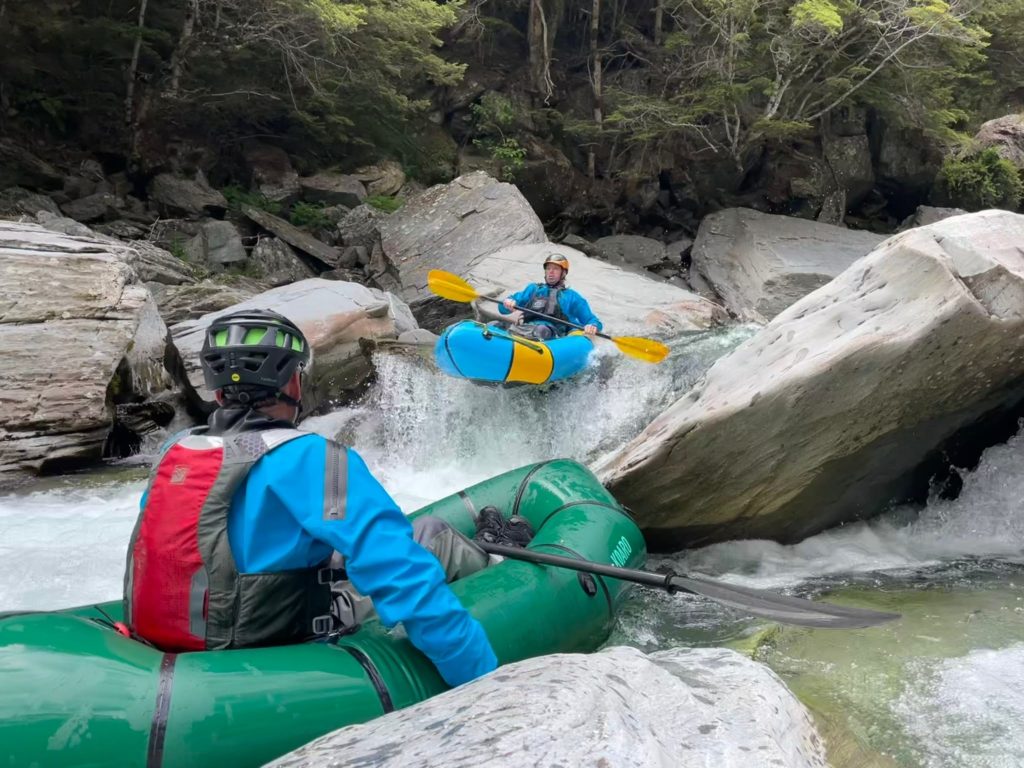
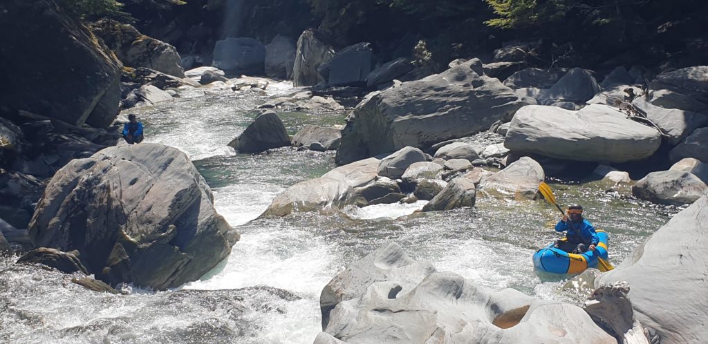
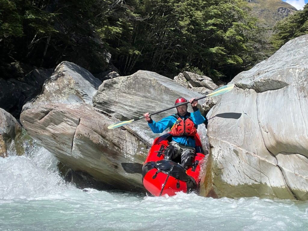
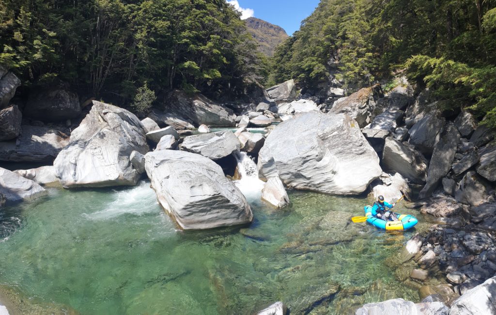
In the latter part of the gorge, there is a mandatory portage on river right, where the whole river goes under/through a pile of house-sized boulders.
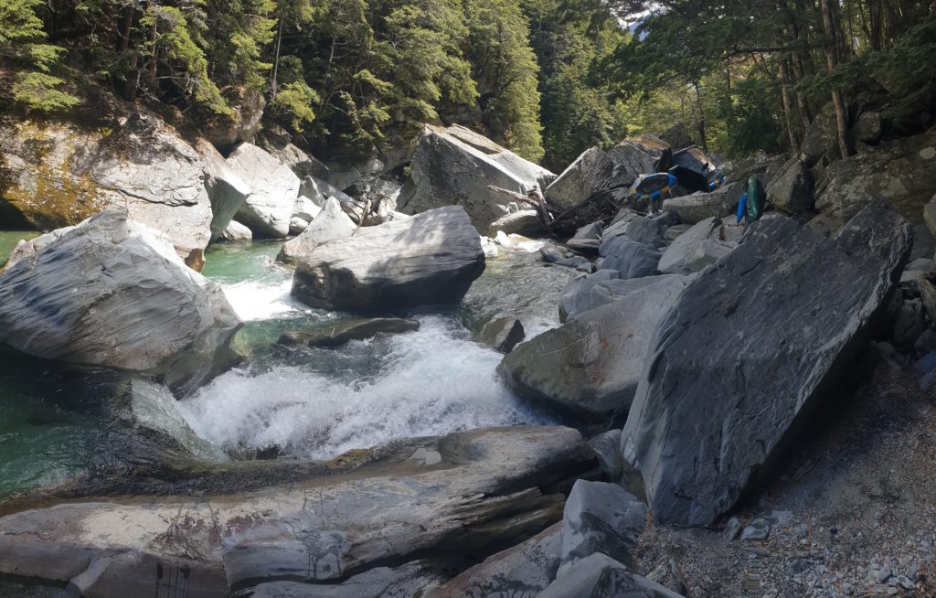
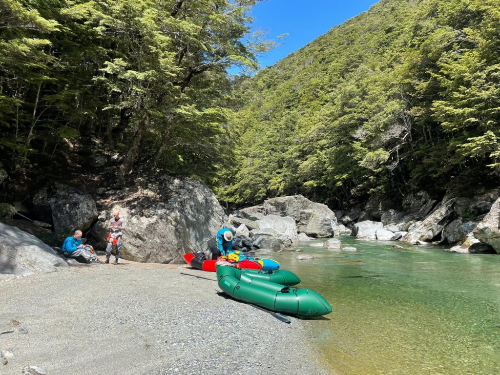
The gradient relaxes signficantly, and the track appears on the true right. This spot is an alternative put on if you don’t want to run the top gorge for any reason.
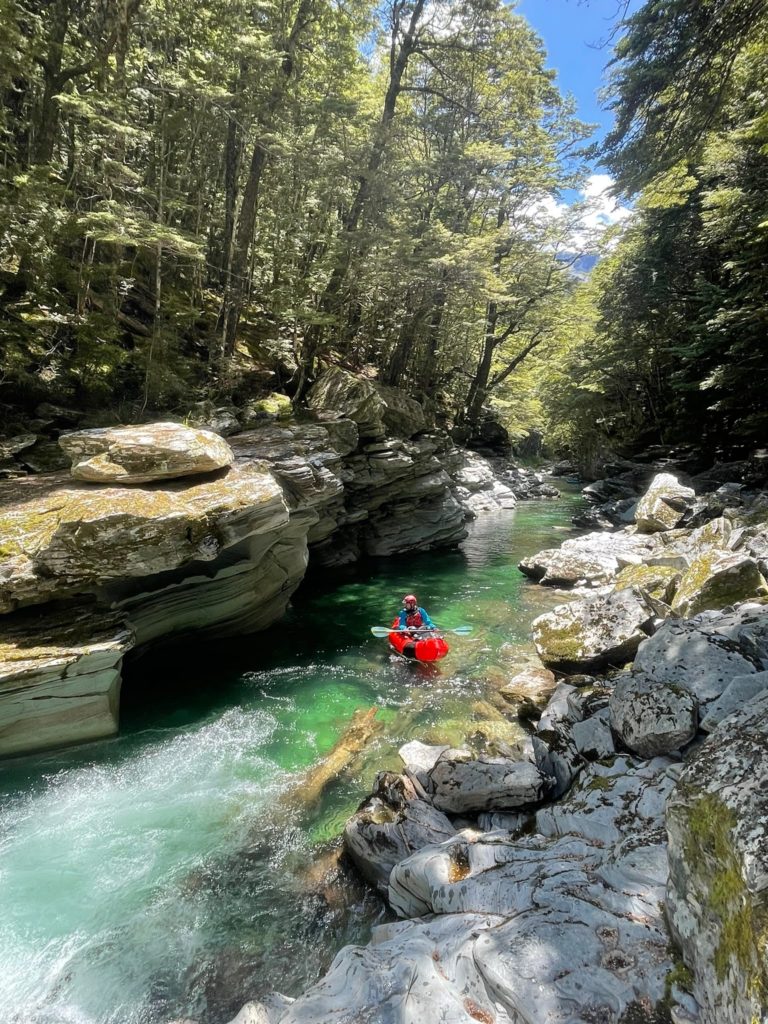
From here, there’s more class III paddling. There’s also some stunning bedrock gorges. Some are shallow, others are deep and inescapble, (but not very long). Logs can prove rather inconvenient in this section…
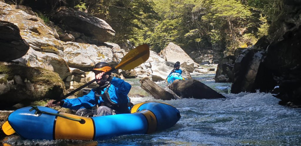
The gradient relaxes again nearing Disputed Creek, into class II boulder gardens. Again the 4WD track crosses, allowing a put on or take out option. This is a good spot for a break!
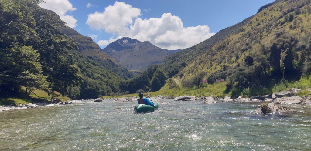
The middle bit: Dispute creek to the Long Burn
The river steepens again into class II/III water, with stunning forest-lined banks.
Soon enough the horizon lines appear, and you’ll want to get out river left to look at the lower gorge, which is really just a huge pile of boulders in a steep bit of river.
It is more steep and continuous than the top gorge and at most flows there will be un-runnable sections (boulder sieves). At suitable (higher) flows, advanced paddlers can do some of the drops, but many prefer to portage the whole section. Portaging is easiest on the true left, but still a strenuous scramble over/around the huge boulders which are perched on steep valley sides.
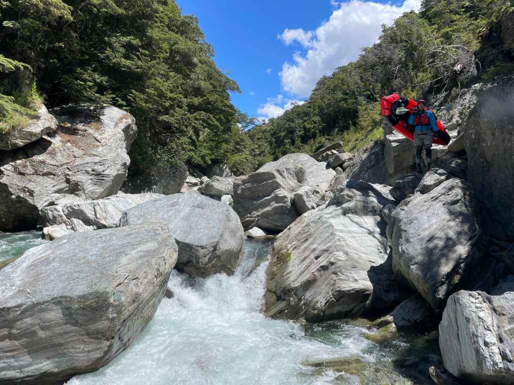
Below the lower gorge, theres more some fun III before the river flattens near the Long Burn.

The flats: Long burn to the mouth
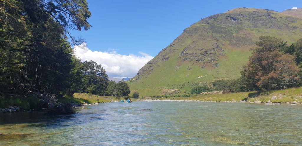
Depending on flows and headwinds, its roughly an hour of floating and scraping braids from Longburn to the Lochy River mouth. There’s a few trees on river right at the mouth, which make for a shady spot to re-organise for the lake crossing.
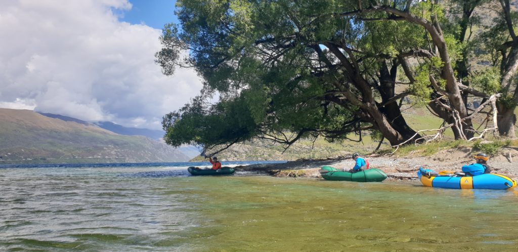
Having some visual markers for where to aim to reach your car will help make the crossing as efficient as possible.


