A classic day trip off the Heaphy Track for intermediate to advanced packrafters: fun and challenging paddling with a scenic backdrop and wonderful wilderness feel.
A reminder about what class IV means for packrafters….
Like most rivers with class IV, it is the gradient of the river which results in a higher grade. This means the flow is everything: at low packrafting flows, the grade IV sections will look like portages because there isn’t enough water to actually cover the rocks and provide clean paddling lines. Suitably skilled packrafters can often find individual drops they can run, and enjoy the feel of steeper paddling, without the additional hazard of pushy or continuous water.
Kayakers have defined the grades for when the river is in condition, which usually means medium or higher flows. At these levels, the lines become paddleable, and the paddling experience fits the description of grade IV: mandatory scouting, continuous sections, moderate to high risk of injury for swimmers etc…
What does this all mean for you? Portaging, scraping through, and running individual drops on a grade IV at low flows doesn’t make you a grade IV paddler. Make sure you understand the way flows influence the skills needed, and don’t end up on a grade IV run when the flow is good for kayakers unless you know what you’re in for…
Thanks to Martin Wilson and Willz Martin for the info. Dan Clearwater for the photos, plus Hugh Canard and Deane Parker for peer review of the page.
View Larger Topographic Map
Approach
Scout the takeout first! From the Heaphy Track carpark, go about 50m along the track and spot a well worn foot track off to your left. There’s a sign saying “River” a few meters towards the river. The track leads down to a nice wee swim hole, which is the simplest take out.
The take out isn’t super obvious from the river, so its worth seeing what it looks like from the river before beginning your trip.. (If you miss it, you can scramble up Fossil Creek (scrubby), or exit to the road at Walsh Creek)
It’s about 2 to 2.5hrs from the carpark to the put in. Follow the Heaphy track for just over an hour to the signposted junction to Shakespeare Flat. This track is slightly overgrown in places, and passes above/through some reasonably exposed slip faces. At the Aorere, there’s a nice wee campsite with space for a couple of tents just inside the bush edge where the track meets the river.
On the river
(All these images are taken by Dan Clearwater, at 16 cumecs on the Aorere at Devils Boots Gauge)
There’s a few wave train class II rapids to get you warmed up, punctuated by long deep pools.
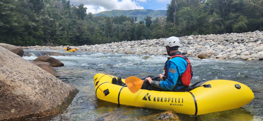
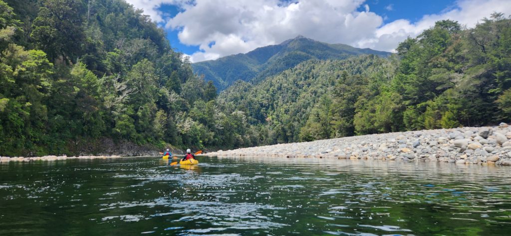
At Fowler creek, the river steepens to 18km/km and the grade IV begins. There’s 2 to 3 distinct grade IV rapids, with tight lines between large boulders. Most have decent-sized pools at the bottom and all can be portaged unless the river is high.
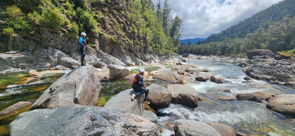
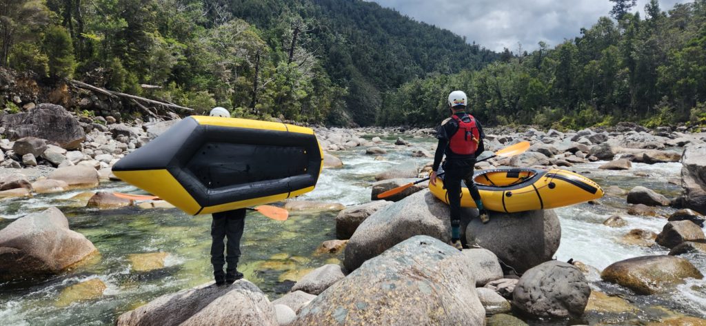
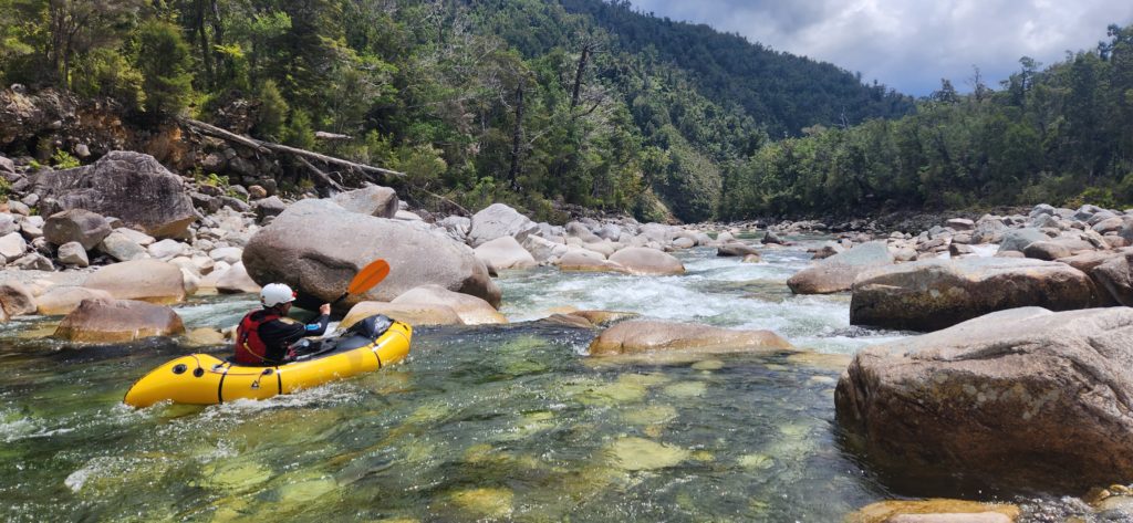
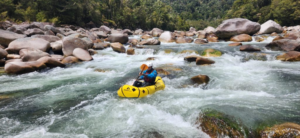
After a km or so, the gradient eases, and the character changes to long grade III boulder gardens and long deep pools.
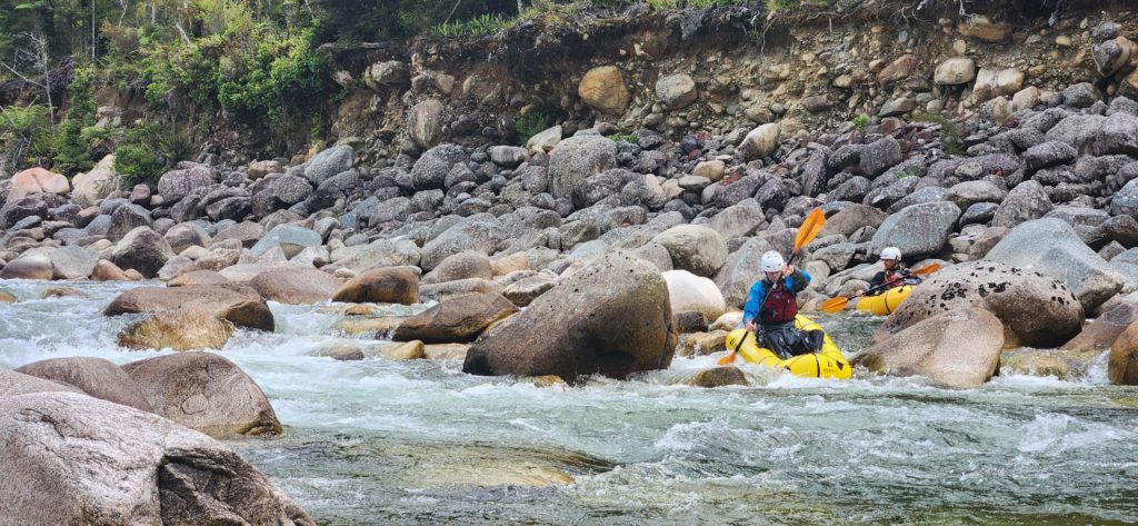
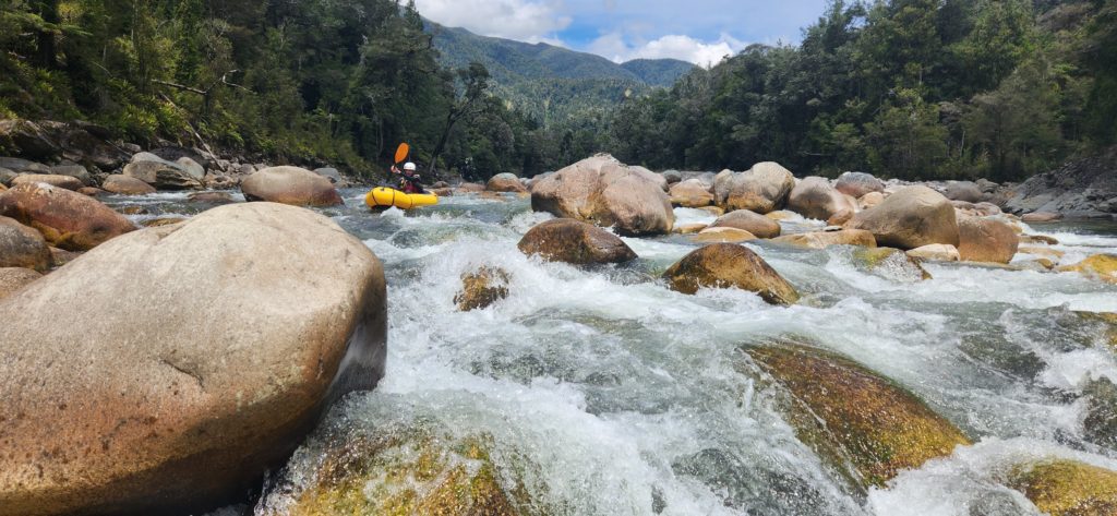
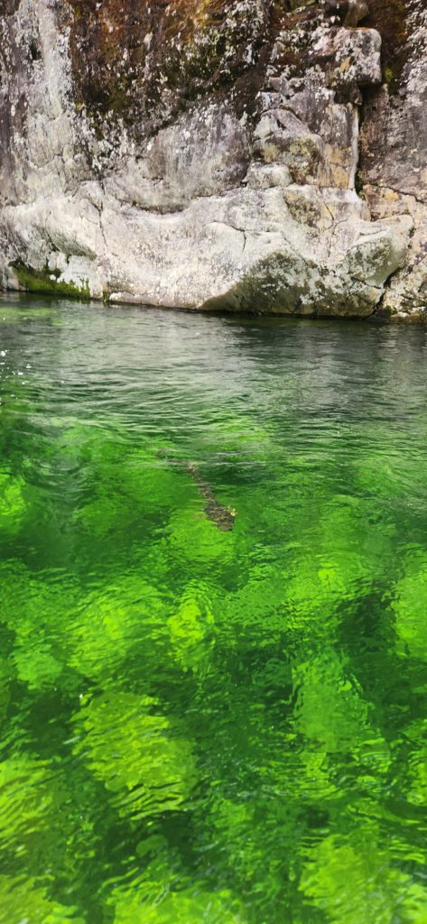
Past Clarke Creek, the valley opens up and the gradient eases again, back into grade II territory. Large limestone bluffs on the true left remind you to watch out for sharp rocks in the river and signal the run is nearly over.

After Brown Creek, keep an eye out for the takeout on the left.
Gauge and flows
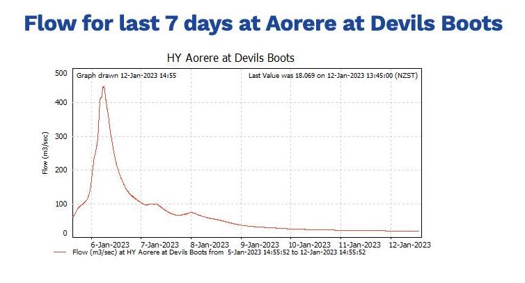
12-15 cumecs Low packrafting flows. Expect to be scraping the bottom on most rapids and portaging most of the grade IV. Still enjoyable, but definitely low flows.
~20 cumecs The grade IV drops start to be runnable, but not too pushy
~30 cumecs Probably the optimal flows for grade IV paddlers. The drops mostly go, the water is powerful and the grade III boulder gardens feel long and require good technique.
>30 cumecs Probably more kayak territory.. Tell us what you find…
But be wary: the Aorere is notorious for how much it rises with rain. Not too surprising when you consider it has a 573km catchment, and headwaters very near the west coast. This is a trip for a good forecast..
Video by Nathan Fa’avae – low flows
The video below (by Nathan Fa’avae) illustrates the character really well. The level in the video is likely to be somewhere in the 15-20 range


Great trip, ran 2/3 of the more difficult rapids. Shouldn’t have run the last one with the log.
Went really good at 40 Cumecs, not as bony and super fun and manageable.
Cheers