An adventure with something for just about everyone
The lower Edwards River in Arthur’s Pass National Park is a great option for a short but adventurous trip. This trip has a great mix of ‘something for everyone’ with an optional harder upper section, great variety and scenery, and a wilderness feel to it despite all being quite close to the road. It needs a bit of rain to come into condition, and the approach involves several river crossings to reach the track.
Thanks to Shane Orchard for the info and photos on this trip.
View Larger Topographic Map
Gauge
You’ll generally be looking for extra water after rain with often a narrow window as the rivers in these parts typically drop fast after rain. Bealey River has a stage height gauge that can help assess the timing of peak flows in the area during a rain event.
Approach on foot
The two river crossings of the Bealey and Mingha are the main considerations for accessing the Edwards valley when flows are up.
Park at the Greneys Shelter DOC carpark, and assess the flows. Both rivers can be seen from the road near the park, so make a visual assessment of the crossing options before gearing up.
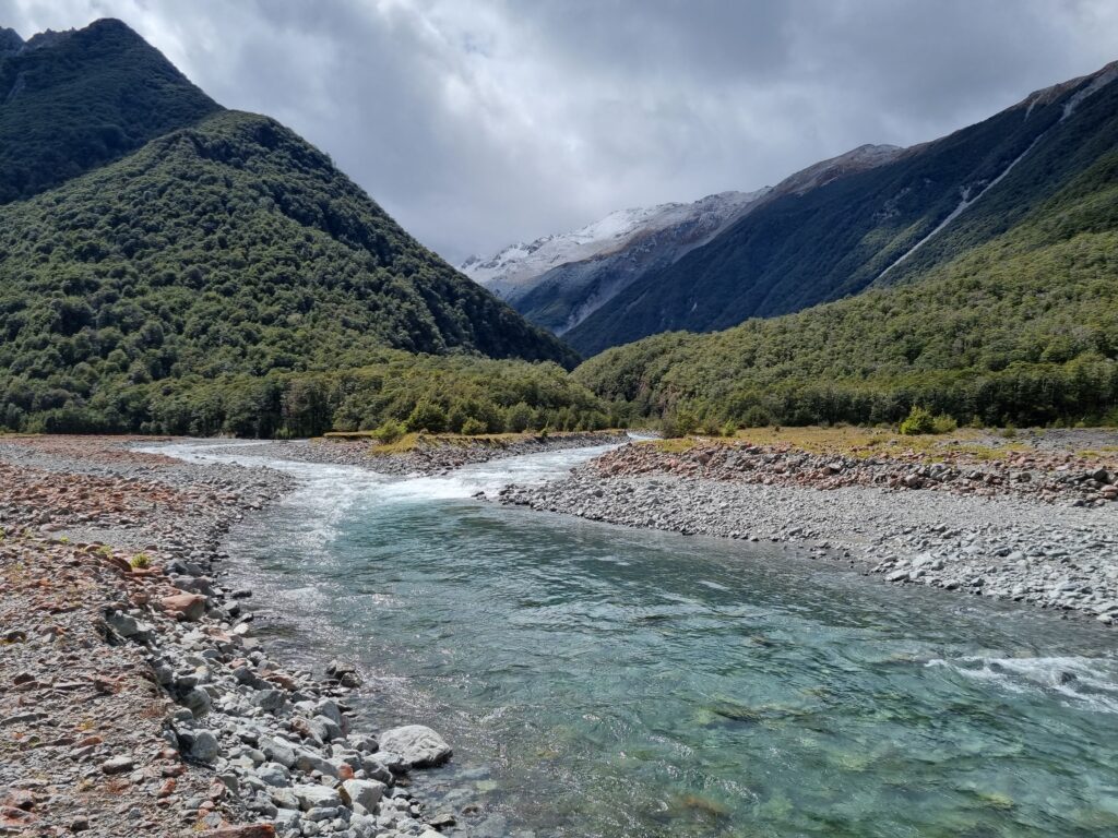
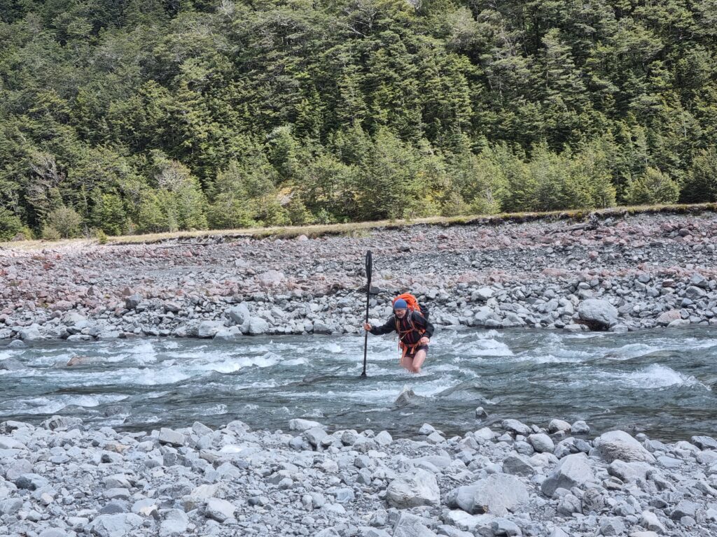
- If you’re crossing on foot, anticipate needing to cross the Bealey River above the Mingha confluence, then cross the Mingha.
- If flows are too high for a safe foot crossing you’ll need to use your packraft for the crossings before heading up valley on the Edwards track.
Whilst you’re here, also take a moment scout your preferred take-out spot. Once on the true left bank of the Mingha, the open riverbed travel leads up to the Edwards.
The Edwards Hut Track sidles through beech forest to avoid a small gorge before dropping down to the mid-valley flats a further 1 km upstream.
The gorge itself can’t be seen from the track so you may wish to inspect the exit section by making a short detour before setting out on the track. Between the Mingha confluence and the gorge, you’ll find a section of grade II and II+ plus boulder garden that is fairly continuous. Further into the gorge rock bluffs on both sides prevent travel up the riverbed but you can easily make progress for a few hundred metres up the left bank to check things out..
The middle valley flats continue for 2km to the East Branch confluence. As you approach the East Branch confluence, the first major rapid comes into view (located a few hundred metres downstream of the confluence). This is a manky grade III+ boulder cascade that marks a notable gradient change from
everything further downstream. The Edwards Hut Track departs from the riverbed at the confluence,
sidling high above a major gorge with significant waterfalls. However, you can continue up the Edwards
river true left riverbank for a few hundred metres to the first prominent corner and then cross to the
true right bank. Around the next corner another steep and generally boney cascade comes into view
followed by a 12 m waterfall not far upstream. Putting in at a suitable spot along this section provides
around 1 km of class III to III+ water for those keen on a spicey start to the trip.
On the water
The spicey start (III/III+)
These rapids include some busy boulder gardens with small sections of bedrock. The steeper sections feature tight technical eddies with some great boof moves over a series of small drops.
The gallery below is in order for a paddling descent, and shows the progress in character of this top section.
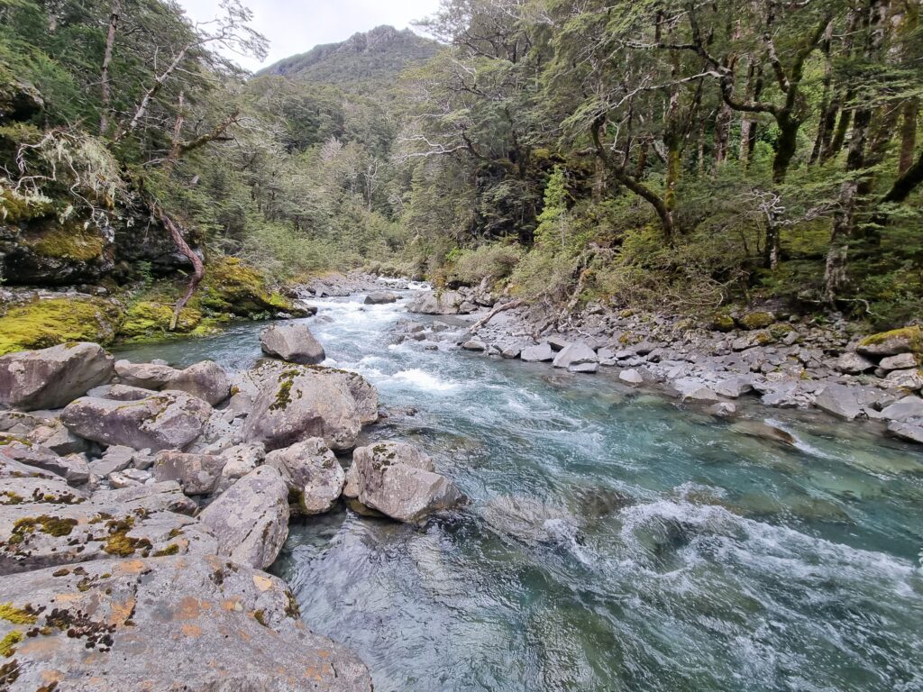
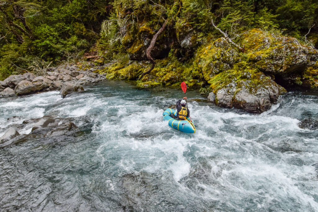
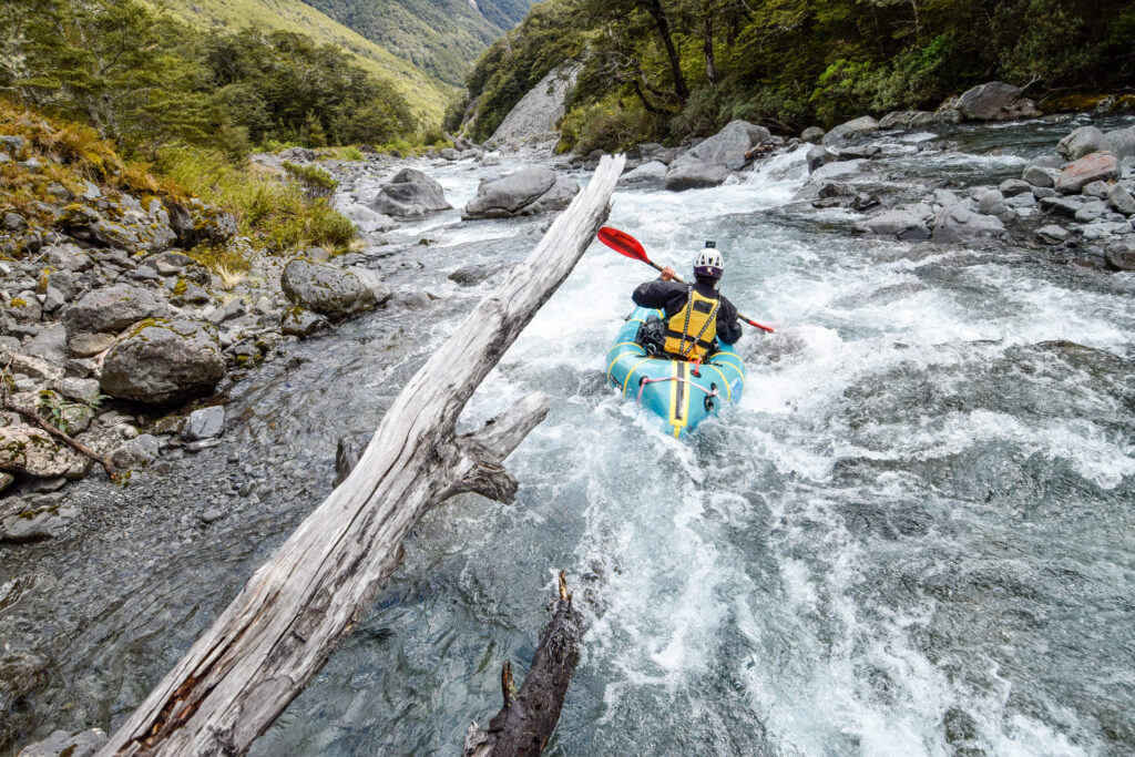
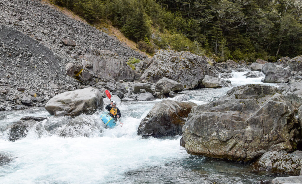
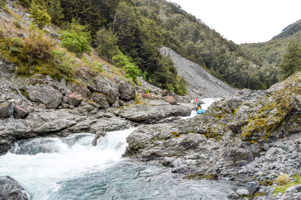
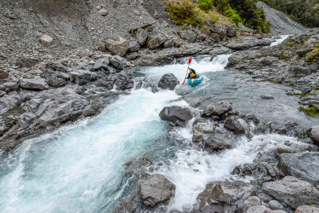
The final boulder bash rapid is the manky III+ cascade. There is a runnable line on the hard right of this rapid and generally unpleasant consequences for straying anywhere else.
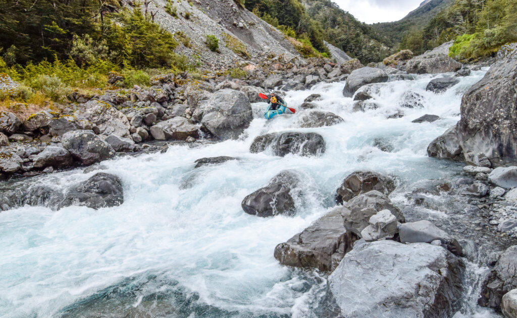
There is a tricky entry sequence to locate the right-hand line, or alternatively it can be easily portaged.
The moderate but action-packed start (II+)
The pool at the bottom of the manky class III+ rapid is a perfect starting point for those keen on a moderate (grade II+) but nonetheless action-packed trip.
This pool is large enough to do some warmup paddling before heading off downstream, which is a good idea as the pace is relatively fast once you get underway. To begin with there is a split in the river to negotiate but this is the only significant braid with the river being quite well confined in a single channel for the rest of the trip.
The rapids here are a mix of grade II wave trains and more technical sections of grade II+ where large boulders break up the flow. They are quite continuous with only a few quieter sections or large eddies to provide obvious stopping points, so if you have beginners in the group keep this in mind and take steps to avoid the team getting spread out.
The gradient eases a little just before the lower gorge and it may be worth stopping for a quick break to stretch the legs and inspect the entry rapids which are quite tricky to boat scout due to the continuous gradient. The first couple are right-hand bends that lead into the gorge proper, followed by a prominent pool at the first left-hand bend.
It may be worth stopping here to scout the next crux rapid which is touch steeper. This is an S-bend style rapid that looks a little ominous from above as the main flow runs close to a rock outcrop on river left. The main tongue of water is fairly clean throughout with no real obstacles to avoid resulting in a steepish grade II+ rapid that will likely be the highlight move for beginner paddlers on the trip. It is also possible to portage this rapid on the true right.
Below this drop the gradient eases but the pace stays relatively constant though boulder garden style rapids to where the lower gorge opens out. Look out for Whio/Blue Duck which are very likely to be present in this section too! If you encounter them, move past quietly, and try to avoid ‘pushing them’ downstream.
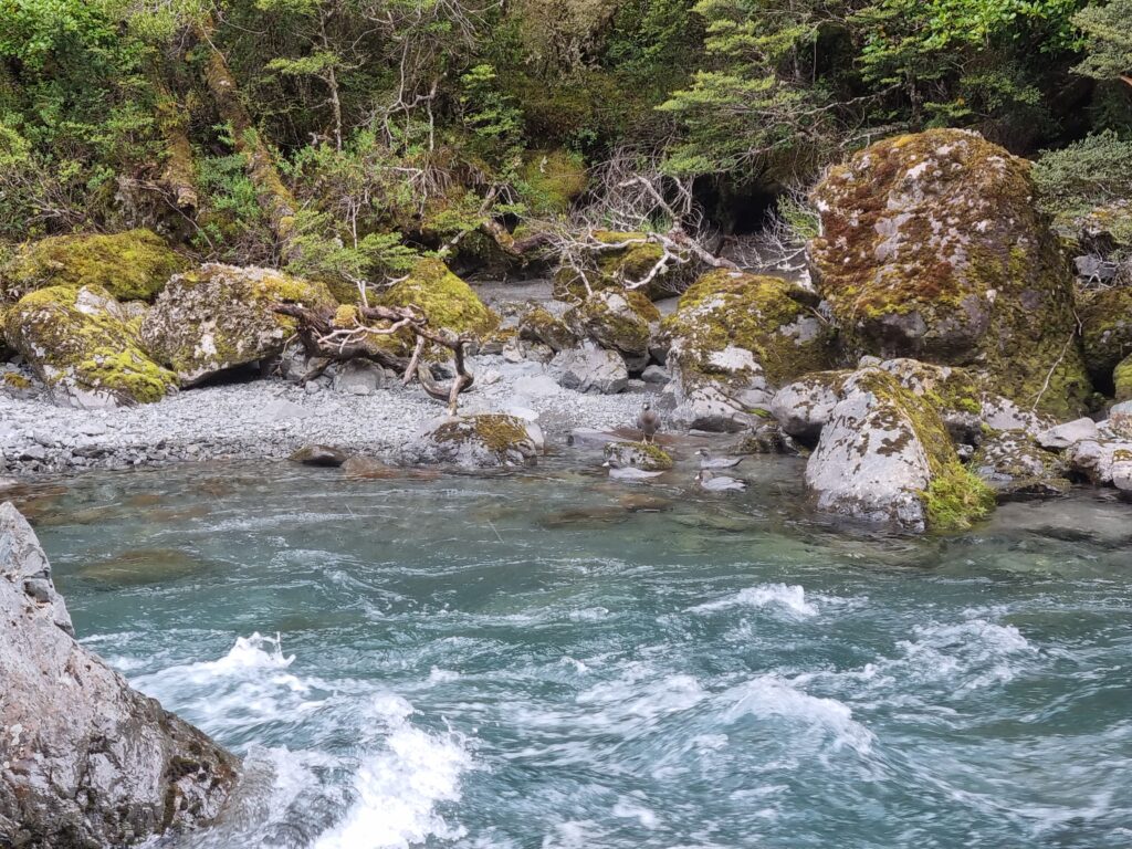
After the confluence finish off the trip by paddling down the Mingha (grade I and II) and then down the Bealey for a few more grade II rapids to your pre-scouted take-out point on river right.
What is further upstream?
Above this section is a serious gorge (V), with a number of big waterfalls to 42m…. This gorge has been mostly descended by kayakers (in high flow) and In summer low flows is a canyoning route. Take a good look at those links before considering venturing in ;0)


