The Grebe is a great destination for packrafting. It offers stunning scenery and a wilderness feel while being relatively close to road access throughout. Three sections with quite different styles can be linked together in a long day or broken up for a multi-day trip.
- Upper Grebe (III/IV) Shallow Lakes to road above Emerald Valley
- Middle Grebe (I/II) road above Emerald Valley to Percy Stream Bridge
- Lower Grebe (III) Percy Stream Bridge to Lake Manapouri
The upper and lower sections require a little bit of extra water but not too much. The river is quite a way from civilisation, so consider a night at the South Arm DOC Campsite. There are a few straightforward tramping tracks, and countless off-track options in the area too.
Thanks to Shane Orchard for the pictures & works, Dan Clearwater for edits and maps.
View Larger Topographic Map
Access by car
The Borland road was built as part of the Manapouri Hydro scheme, to allow the construction of power lines from the power plant back to civilisation. It is a pretty rough gravel road, that is quite narrow in places: keep your eyes peeled for oncoming traffic, especially in the section up until Borland Saddle.
At Borland Saddle, its well worth spending 15-20 minutes on a side trip to the bushline. The track well-formed and you’ll probably want to stretch your legs anyway! On a clear day, there’s great views into the Grebe Valley, and the peaks of central Fiordland.
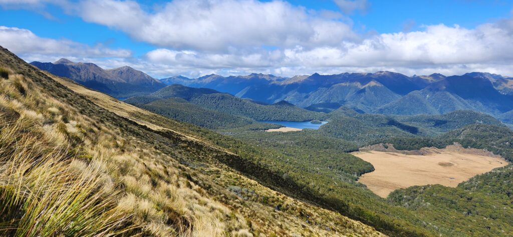
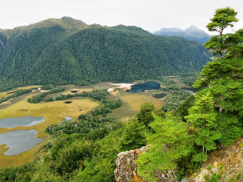
The Borland Road is subject to washouts and slips: its worth checking in with DOC on current conditions. Borland Road information.
Upper Grebe (III & IV with portages) Shallow Lake to road above Emerald Valley
The upper section begins at Shallow Lake and ends where the road meets the river approximately 6 km downstream.
From the pylons above Shallow Lake, follow a rough track on a small ridge leading down to the eastern-most of the two lakes. Paddle across this lake to the northern end and negotiate a small strip of forest leading to the western lake. Keep an eye out for Deer!
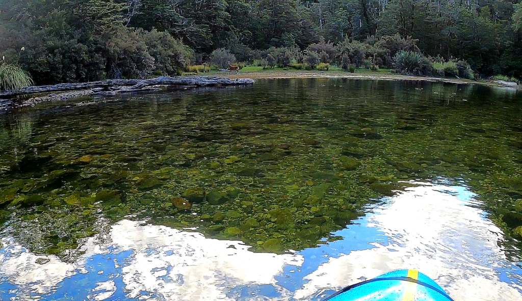
The main Grebe outlet is at the northern end of this lake.
A few warm-up grade II rapids lead you through exquisite beech forest towards a 2km steeper section of river. Large rocks mark the first major boulder choke which is a sieve and best portaged on the left. Soon after, there another similar rapid that is just runable but very tight, or again portaged on the left. From there nearly everything can be run with a mix of boat and bank scouting through boulder garden rapids with small waterfall features and some multi-tiered drops.
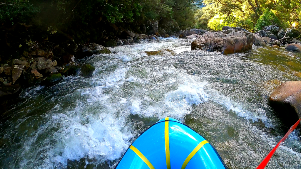
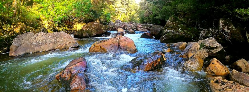
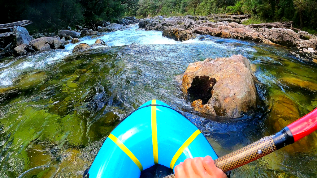
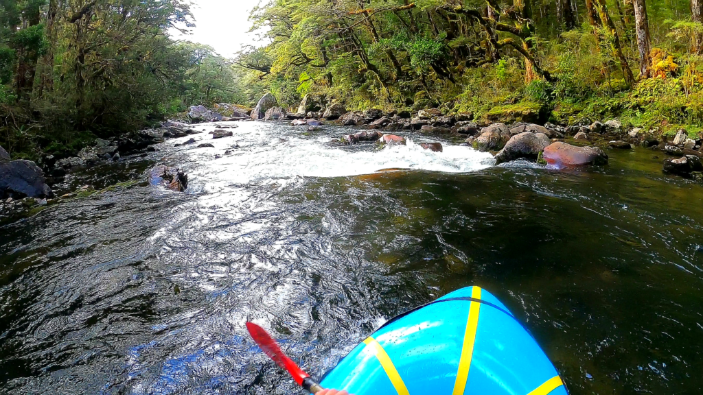
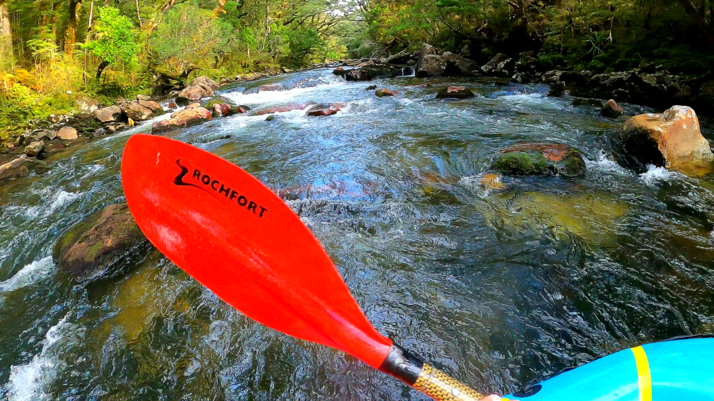
The steep section continues to near the Florence Creek junction.
Near the junction, the gradient eases to a section of picturesque flatwater with great reflections off the overhanging bush.
The whitewater begins again further downstream with a couple of nice grade II corner rapids leading to the first of two major drops. These are much more significant rapids that have carved short canyons through blocks of bedrock in the riverbed making for a different feel.
The first of these has a double-tiered drop with a buffer wave at the top that is worth a scout.
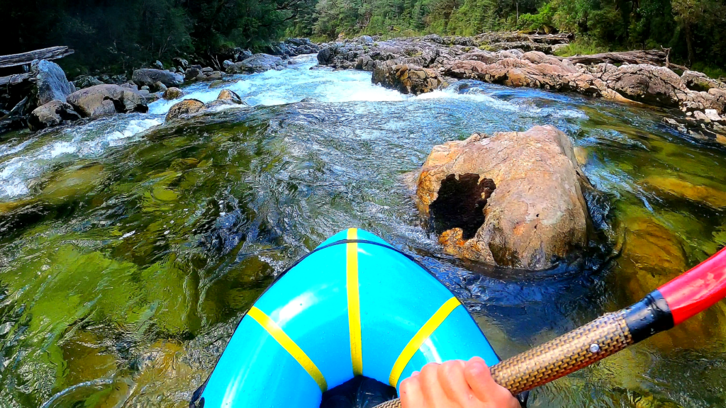
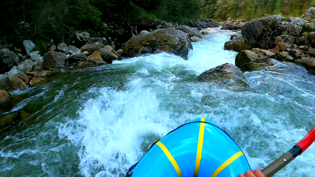
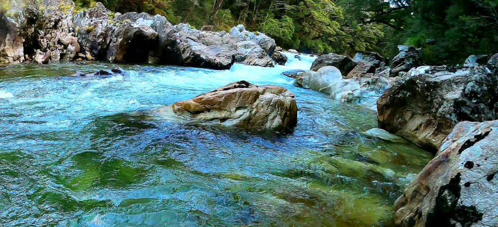
The second rapid is a more intense and sinuous whitewater ramp leading to a tight exit chute.
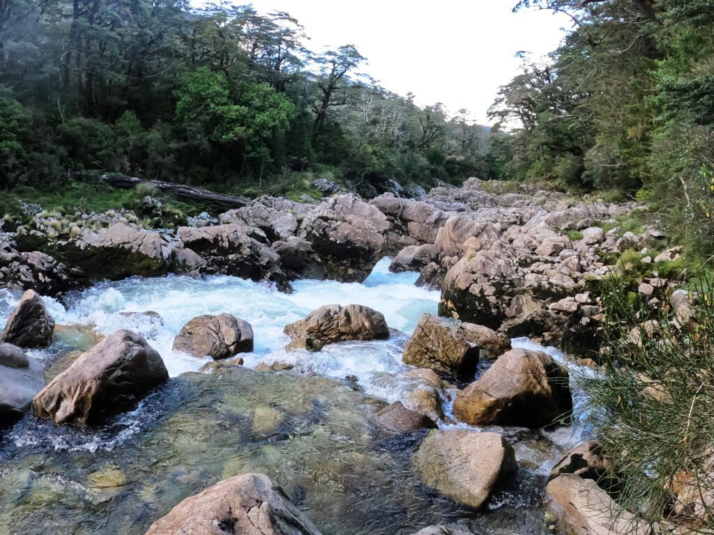
Both can be easily portaged and scouted on the true right. There is a major logjam a short distance downstream of the second rapid that requires a portage in any event- also on the true right.
From there a few more grade II rapids lead to the last bend where the road comes into view on the right.
Middle Grebe (I/II)
The middle Grebe is very scenic and enjoyable float run down to Percy Valley Bridge.
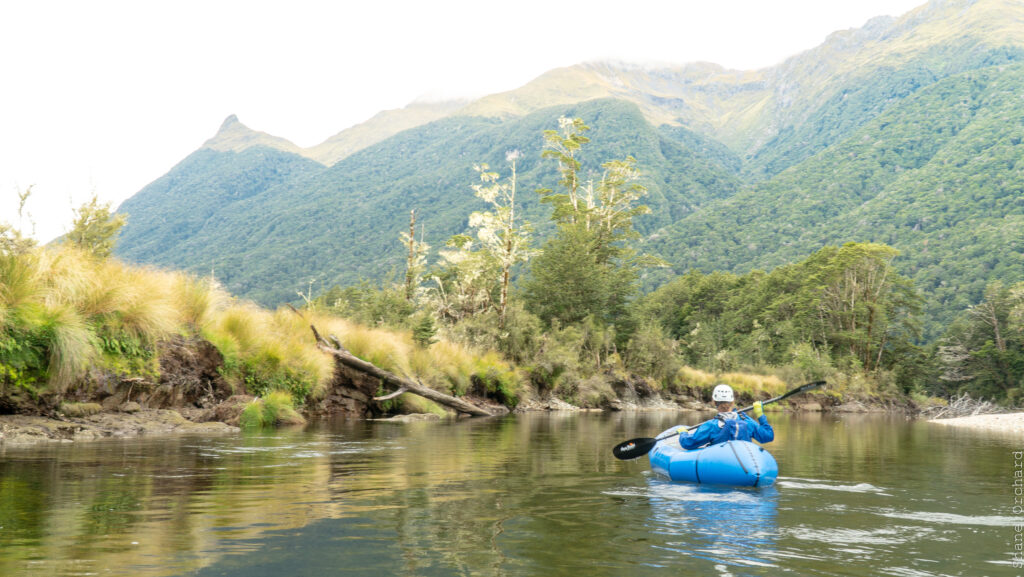
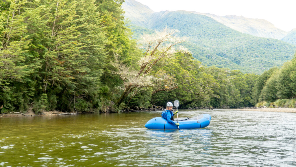
There are only a couple of rapids, but there are numerous trees and deadwood to avoid! Even beginners need good maneuvering skills to avoid these hazards.
The first rapid (visible from the road) is the most difficult of the run, and is followed by a couple more grade II rapids before the gradient eases off. The majority of the next 5 km is flat water, although mostly moving along at a reasonable rate. The flatwater ends a short distance above the bridge where the grade III section begins. Take out on the true right above the bridge or otherwise continue on down.
Lower Grebe (III) Percy valley bridge to Lake Manapouri
This section is described in Graham Charles’ NZ Whitewater guide.
An entry rapid leads into grade III boulder gardens which continue for around 2 km.
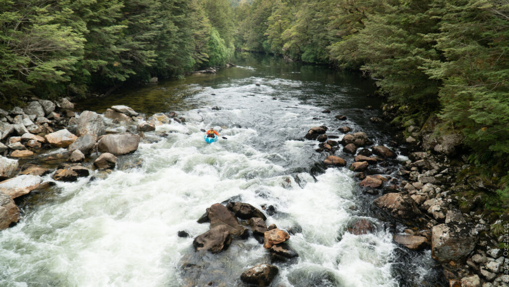
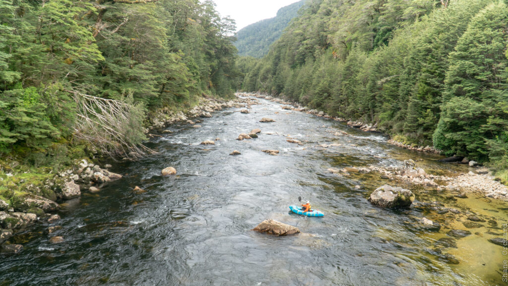
The gradient then eases, providing a few grade II rapids before the lake.
At medium flows this is an extremely fun section offering a maze of boat-scoutable chutes and drops between large rocks. Reports from higher flows section suggest a more hectic roller coaster once the large rocks become submerged!


