


The Jerry River is a remote ‘side trip’ to the classic Hollyford/Pyke Circuit, taking in some challenging off-track travel, with some good paddling in the Jerry and Gorge Rivers. Returning to the Pyke involves some honest coastal tramping or sea-packrafting.
The good part, is that the extra 4 to 5 days worth of food you’ll need isn’t too hard to bring along: you’re floating most of the way from the road end to Big Bay Hut. Budget about 8-10 days from the Hollyford Road for the whole adventure. Or if its your thing, you can use this route as part of a longer traverse between Hollyford and Haast.
Thanks to Jeremy Platt and Huw Miles for the info and photos.
View Larger Topographic Map
Approach: from Big Bay Hut (2 days/12 hrs/ 9km)
After reaching Pyke River via the Pyke Track, we walked upstream to Durwards Ck which was very good going. When we got to Durwards, the creek made for easy going for the first km or two before getting steep and slow. From here we climbed up high on river right which had periods of good and periods of very slow bush bashing. Through this section of track we came across a very old marked track which made for periods of good travel before petering out again into thick scrub.
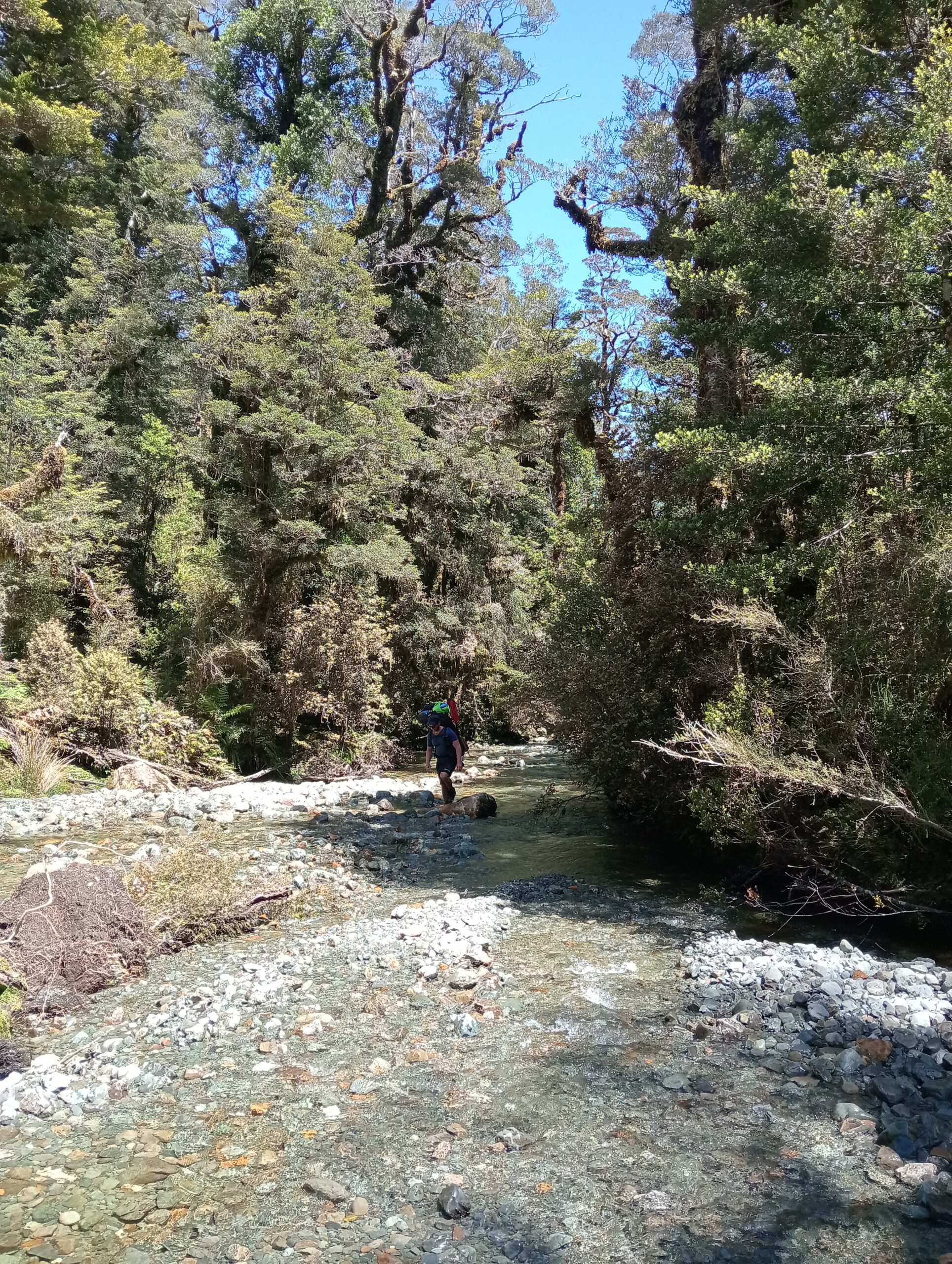
We got back down to the river at the confluence of McKenzie Ck and Durwards Ck. We then followed an unnamed creek NNE which made for delightful walking (see photo) for about 1.5km before it then became tree choked and slow.
Going from this unnamed creek over to Saddle Creek was rough going and took many hours through muddy thick vegetation. We camped the night on a nice little island on Saddle Creek (which remarkably had almost no sandflies!) before moving to river left leading us on a high bluff above Saddle Ck. Thankfully however this bluff had a really lovely nose on it’s terminus which led us back down to Saddle ck and into the Jerry – taking about 1.5 hours.
In summary it is a definitely scrapy, muddy, rough and slow entrance, but not dangerous or horrific and with moments of real beauty – with that unnamed ck certainly being a highlight of the trip.
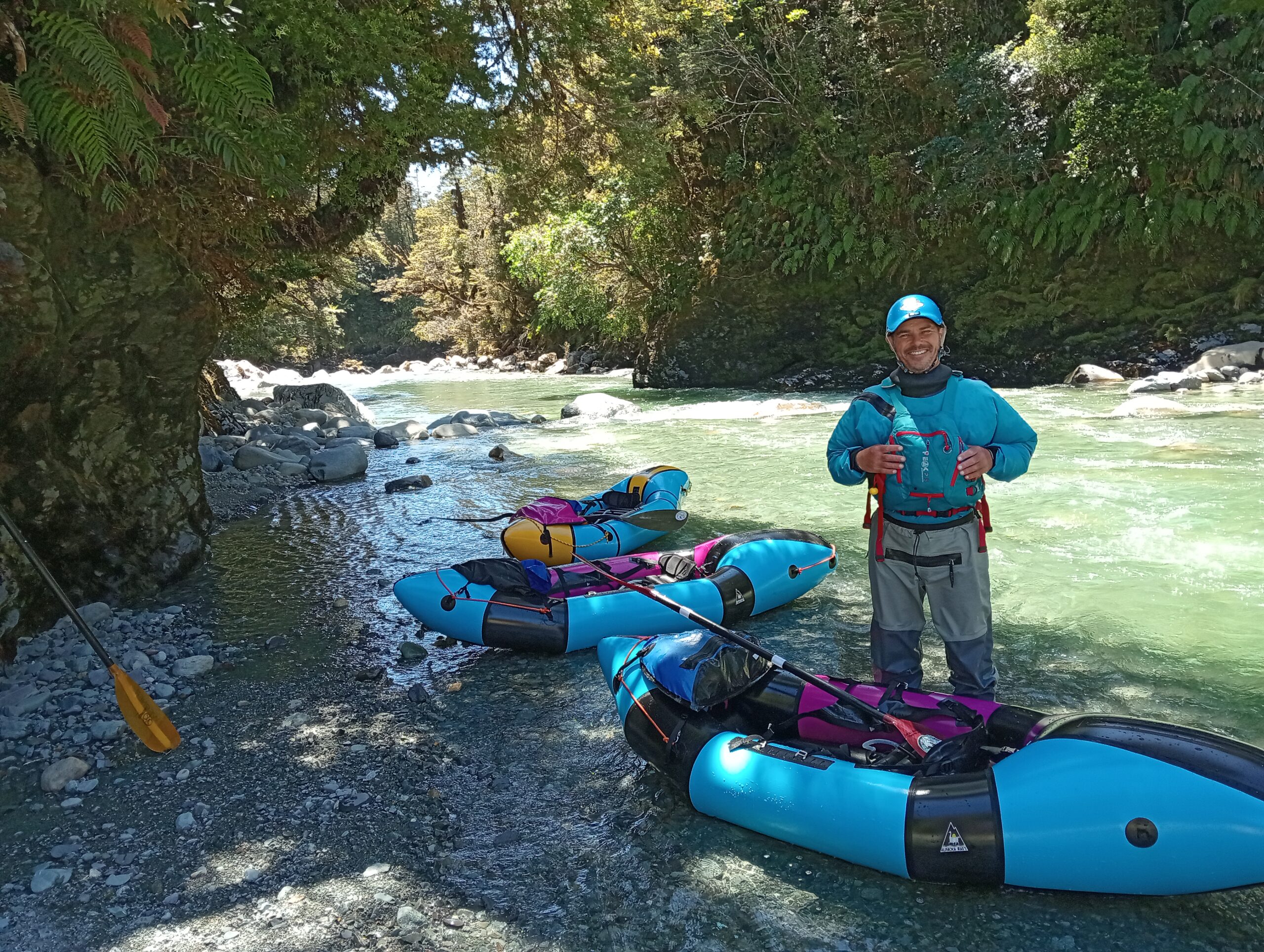
The Jerry River (II/IV) (~1 day to the ocean)
The river was primarily boulder garden with large smooth round boulders and an average gradient of 25.7m km (for comparison the Greenstone elevation gradient is 14.7m/km and the Upper Taipo has a gradient of 33.5m/km).
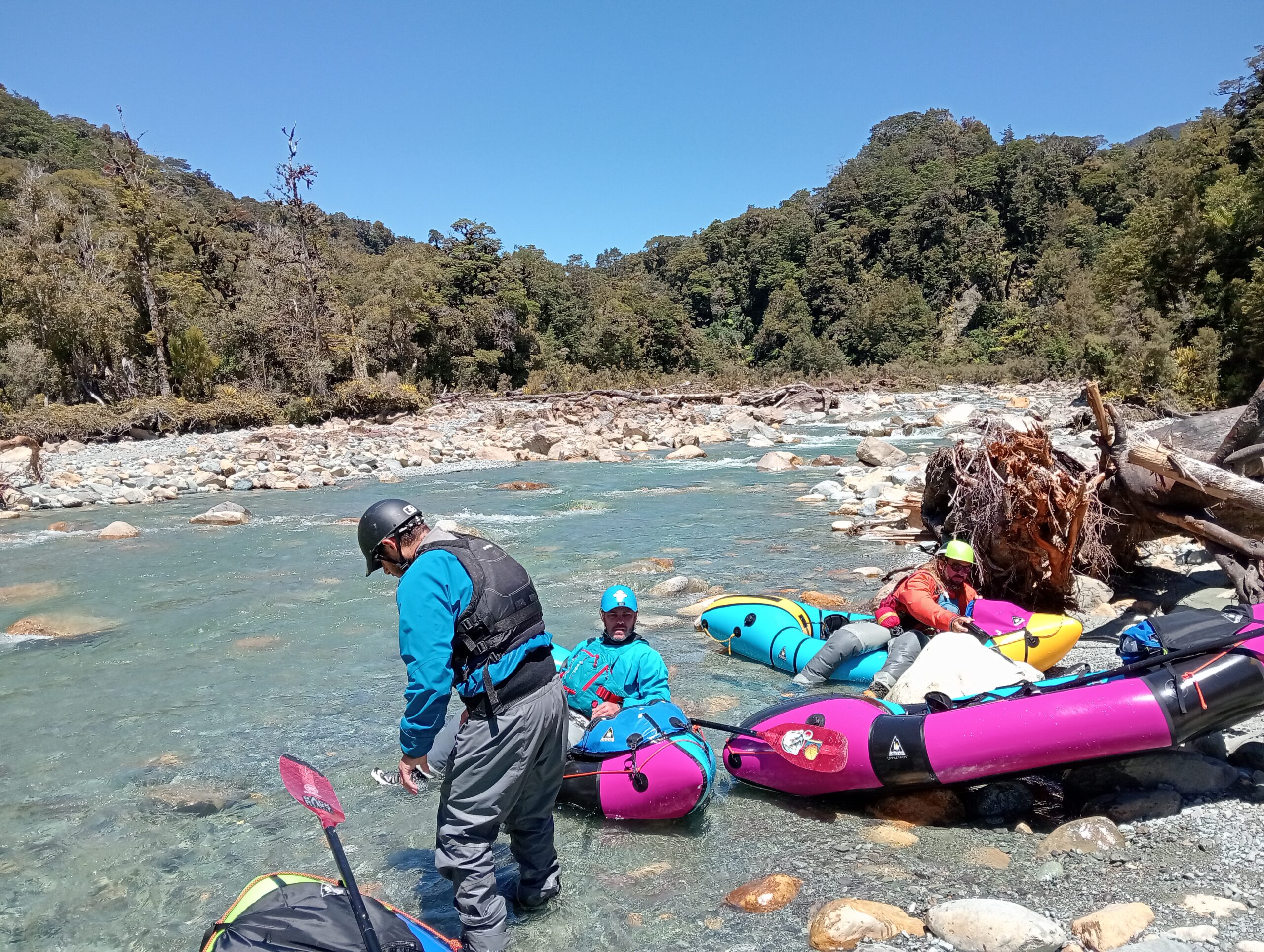
This steep gradient in the upper section, took the form of a very continous run of mostly grade II at this low level, but would have been an incredible gr III or IV with more rain. Most of the river was read and run, with several sections we stopped to scout and also portaged one feature with a sieve after it had recently changed the course of a braid. I don’t think we had to get out and walk due to low water, however there was a whole lot of butt scraping.
Around the 4/5km mark the river tightened up and had a really lovely little gorge with continuous grade III rapids.
After exiting this gorge, the river became more drop pool style, with a couple of fun little drops and falls.
In summary – I wouldn’t do this one low, certainly not lower than we had it and I would only do it really high if you are a gun paddler, but this could be an incredible run with the right flows. Also there was 0 wood the whole way down!
The Gorge River (III)
Read the Gorge River page for more info:
We walked up Gorge River a ways, and had a great time paddling down from there. After the confluence of the Jerry and the Gorge, the paddling became excellent. Plenty of water and lots of awesome grade II/III features. Again this river could cop a lot more water than it had for us and we didn’t see any wood along the way.
Make sure you bring a koha for the Long Family at Gorge River Hut!
Exit from Gorge River Hut (~ 1.5 to 2 days)
From Gorge River Hut, the routes out follow the coastline. Either head north (see the Gorge River page for more info) or head South.
Either way, the coastline is rocky, rough and exposed to the weather. Paddling the ocean (if skills and conditions allow) will usually be faster than walking, but take care! Most of the coastline is guarded by surf, and there’s nothing between here and Tasmania… Packrafting in the open ocean is a serious proposition: there’s specific skills, experience and judgement required. (Ie, this should not be your first attempt at open sea packrafting!)
Jeremy’s crew chose to head south and paddled to a campsite at Awarua point. The following day they paddled back to Big Bay Hut.
Gauge & flows
There’s no gauge out here ;0)
Heavy rain had fallen 2 days prior then 2 days of hot sun. Long term trend – trip took place in a wet spring – River height probably around 5 cumecs.