Just west of Lake McKerrow, on the famous Hollyford/Pyke Loop, is the enticing-looking Kaipo Valley. Here we describe a 3-4 day side-trip from Hokuri Hut, involving tough off-track travel and naviagation. If you have the time, and the desire to see a rarely visited fiordland valley you can also enjoy some fun grade II paddling, with a grade III gorge to spice things up.
Thank you to Shane Orchard for the information and photos to create this trip page.
The Kaipo is perhaps most famously known as the approach to the ‘highest rock wall in NZ’, The Kaipo Wall of Mt Parariki. The 1300m high face featured in an episode of ‘The Adventure World of Sir Edmund Hillary” in 1974; Part one shows the team rafting parts of the Hollyford (with resulting carnage) and Sailing across Lake McKerrow. Part two shows the climbing on the wall, (complete with motorcycle helmets). Well worth a watch!
View Larger Topographic Map
Planning & options
The start of this description is Hokuri Hut, which is roughly 1.5 to 3 days into the Hollyford/Pyke loop.
To help understand the options, we’ll define four phases of the Kaipo:
- Hokuri Hut over the pass to camp in the Kaipo or a long day to reach Kaipo Hut.
- Walk to the upper gorge, then packraft to the coast, camping there. (a full day)
- Coastal section through to Martins Bay, which could be combined with phase 4.
- Back to Hokuri Hut, either via Martins’ Bay Hut and Tracks, or off-track shortcuts and lake paddling.
As an add-on to the Hollyford/Pyke
The Kaipo add-on will probably appeal most to people with more time to complete an ‘extended’ Hollyford/Pyke trip. They would carry all their gear, using phases 1-3 over 3 or so days then continuing on towards the Pyke.
As a loop trip from Hokuri Hut
If you wanted to experience all the ways to enjoy the area, you’d do all 4 phases, roughly 3-4 days return from Hokuri Hut.
This isn’t a bad option: the Hollyford/Pyke really lends itself to longer trips, since the first part of the trip to Lake McKerrow is almost entirely on river, allowing you to pack (and stash) extra food rations with (relative) ease.
Via O’Leary Pass for extra challenge
For those who prefer a pure loop to any ‘out and back’ there is a much more challenging possibility via O’Leary Pass which reaches the Kaipo way above the upper gorge described here.. This would involve significant extra height gain, more difficult route finding and an (untested) sidle of the upper-upper gorge (between 200-320m contours). Check out Craig Jeffries notes, written for climbers headed to the Kaipo Wall.
Approach
The Kaipo Loop route takes advantage of an excellent crossing point on the ridge between Lake McKerrow and the Kaipo valley, though some off-track navigation is required.
Begin early from Hokuri Hut and cross the aiming for a side-stream on the opposite shore that leads to a prominent saddle to the south of Pt 618m. The stream-mouth is reasonably open and clearly visible as you paddle towards it. Travel directly up the streambed for the first 2 km or so. The gradient and rock size steadily increases as you go, and before long the boulders become slippery and/or mossy signalling an opportune time to depart for the bush. Climb out on the true left and locate a fantastic deer trail that follows a small bench not for above the stream. Higher up where this bench merges with the slope, sidle upwards through ferns to gain a much more dominant ridge higher up (this one is clearly visible on the Topo50). Settle in for some joyous forest travel on a major deer trail through gnarled old rata forest. At periodic intervals you’ll spot semi-horizontal trees that offer dry stopping places if it happens to be raining.
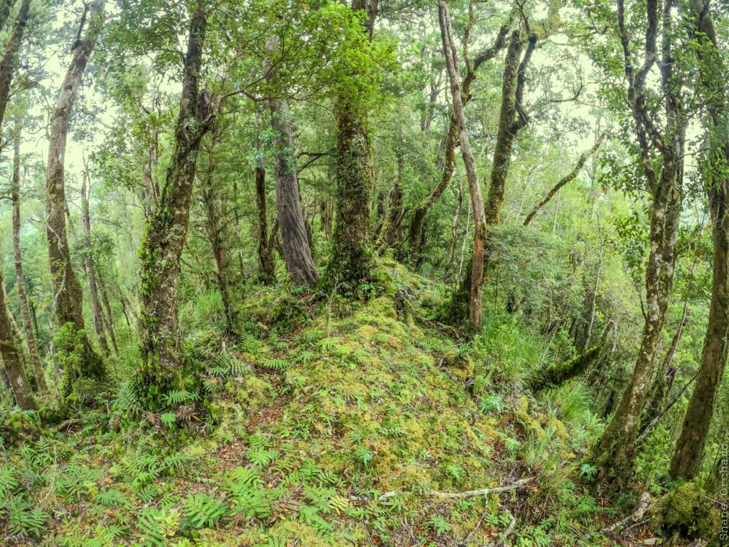
At around 500m elevation this ridge flattens out heralding the navigational crux of the route. Travelling on a compass bearing is a good option at this point. Sidle initially upwards on faint deer trails and you’ll inevitable find yourself wading through waist-deep Blechnum Crown fern at some stage. Continue to the apparently flat area around the saddle as seen on the Topo 50. You’ll notice there are several small undulations and re-entrants to negotiate in this area so check your bearings carefully before committing to a descent. All of the creeks leading into the Kaipo become steep a short distance below the saddle, and the least severe creeks are the ones either side of Pt 201m so aim for one of these. There are also some recent landslides in this area. After the steep section travel is relatively good in the streambed with the exception of a few log jams. Lower down, gain the large side-stream with an open riverbed that is easily followed to the Kaipo River.
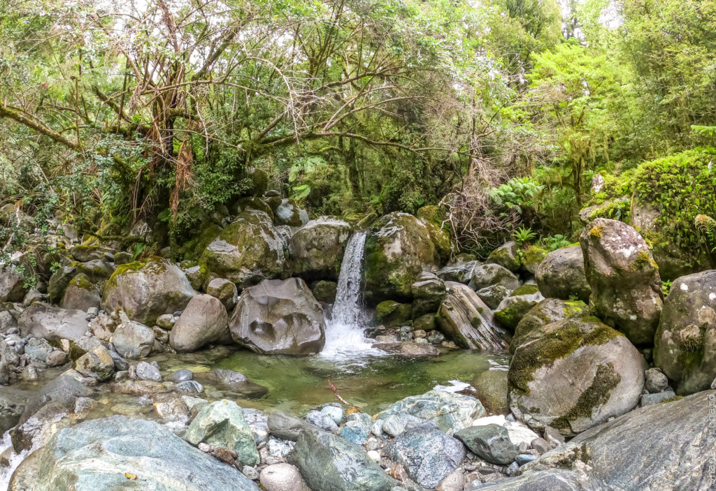
Decision point:
Out and back to the upper gorge (II+/IV) or continue the loop (II/III)
Here you’re faced with a decision – walking the gentle gradient (I) section for several kms upstream to check out the upper Kaipo, or opting for a shorter day by paddling downstream from here.
The short version gives you a couple of kms of excellent whitewater including the lower gorge section, but not much paddling for the total amount of walking on the loop. For the longer version continue upstream.
The Paddling
The upper gorge II+/IV
To access the upper gorge, continue upstream on the true right then cross to the true left to gain the flats. Pass by the new DOC hut and follow a faint track to the river from here.
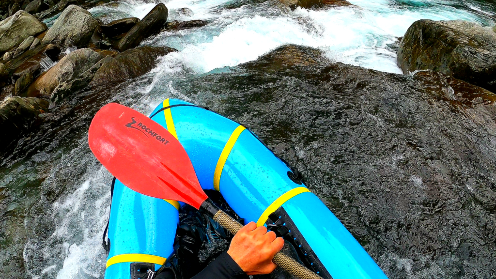
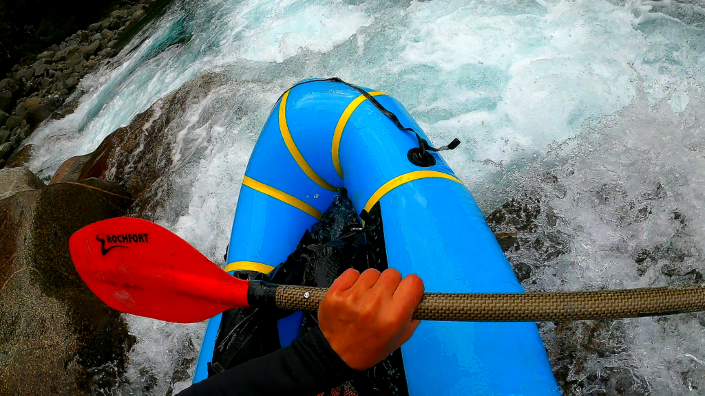
The whitewater starts at the east branch confluence. From here, travel upstream as far as you desire with travel being good in the forest on the true right. The rapids are in the class II+ to class IV range as far as the obvious 3-way junction at about 190m elevation (a good place to begin from unless you want even more gradient higher up).
In some places the river splits around islands and you’ll no doubt portage several sections depending on the features and flow.
Below Kaipo Hut (I/II/III)
Below Kaipo Hut there are a couple of annoying log jams to bypass before hitting the flats, followed by a gentle but picturesque float section.
Further downstream enjoy a series of nice class 2 rapids before the lower gorge begins.
The entry rapid is fairly obvious as the bush closes in and a boulder garden looms ahead. This section lasts less than a km but offers brilliant class 3 paddling in a similar style to the Falls Creek section on the Hollyford with large boulders and several small drops. The biggest drop is worth a scout as the left-hand option has a bony landing to clear, and the right-hand option has a very tight entry between two large rocks. Soon after you’ll find the ‘tombstone’ rapid, a 2m ledge drop that rebounds off a large tombstone rock / kicker in the flow that throws a rooster tail to the right. Drop in and hang on!
The gradient eases soon after leading to the coastal flats.
Completing the loop on foot
Take out at the obvious bend where the river turns to the south and gear up for the coastal walk.
This section of coast is a mixture of sandy beaches and boulder-hopping that is passable on most combinations of tide and swell.
Once you get through to Martin’s Bay there are several options for completing the loop, which you can mix and match depending on conditions, time and interest. We have specifically left these off the interactive map, as they may confuse folks who are looking at the Hollyford/Pyke information. Refer to the image below and descriptions:
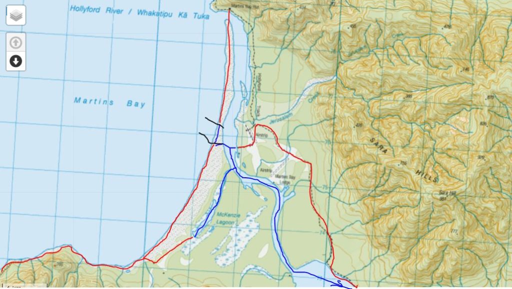
- Walking the track from the airstrip back to Hokuri Hut, or if the tides and wind are in your favour, paddling this section instead (or a combination thereof).
- If you are fortunate enough to have other party members who have taken your heavy gear to Martins Bay Hut, you can head straight there.
- Another option involves heading inland from the south end of Martins Bay to the two private huts (visible on Topo50), follow an easy track to McKenzie Lagoon, and paddling from there.
Remember that the Hollyford river mouth entrance is now located near the airstrip (about 2km from Martins Bay Hut). It is tricky to get the tidal flow in your favour for these various paddling options on the final leg. Also bear in mind that it may also be dark by the time you get there!
Gauge
Visual: This is deep dark fiordland and there’s no gauge, plus it rains a lot. Rivers tend to rise and fall quickly with rain.
The Kaipo appears to be a river that paddles well in ‘normal flows’, so rather than waiting for a dry period or for rain, just avoid both ;0)


