Deep in Fiordland, packrafts are a game-changer.
With numerous lakes, countless rivers heading in all directions and fiords to explore, amphibious travellers can dream up some pretty incredible journeys , which would otherwise be completely impractical without a packraft. The aim for these style of trips isn’t technical whitewater. The trips are as much tramping as they are paddling, as much lake crossing as bush-bashing, but always special in this remote part of the world.
The Long Burn loop is one such adventure. The Long Burn itself is enticing, as its name implies, it is one of the longest rivers in south-western fiordland. This trip goes through the heart of the proposed South West / Cameron Wilderness Area.
Below is a trip report from Steve Hoskin from his trip on 11-15 February 2023. Being Fiordland locals, they were able to pick perfect weather with no recent heavy rain, clear calm conditions and only light showers on the 4th night and 5th morning. This helped them with the very long days and significant distances covered. The report shows what is possible, but many folks would opt for more days with shorter distances.
Thanks to Steve for the report and photos..
All lines on this map are indicative only, and do not represent the exact route travelled by the party during this trip.
View Larger Topographic Map
Day 1: Hauroko Burn to camp near Kathryn Peak. ~10 hours
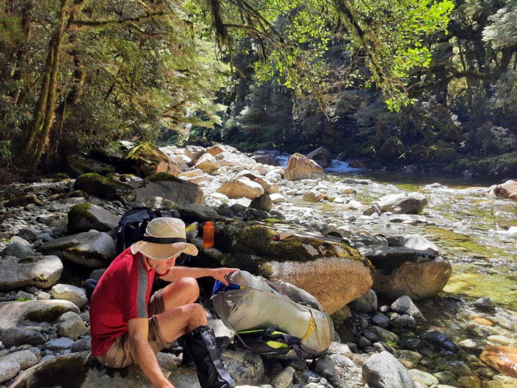
Decided to exit Gardner Burn early towards point 949, guessing travel on tops would be easier than staying in the burn. The exit from burn clearings further upstream towards 1125 looked easy but can’t say what the travel was like in the creek. Gnarly narrow saddle with drop offs either side between 1125 and 1407 (would be hairy on a windy day).
We sidled west towards 1407, to the saddle north of 1217: route looked improbable looking back but went well.
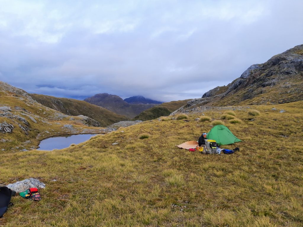
Day 2: Sidle to Longburn. Paddle to halfway point ~14 hours
Easy sidle South towards Sea View peak staying high to avoid steep-sided guts cutting into the range. Worth the 5-10min side trip to Sea View Peak. Sensational garden-looking areas with bonsai-type trees heading to point 878m.
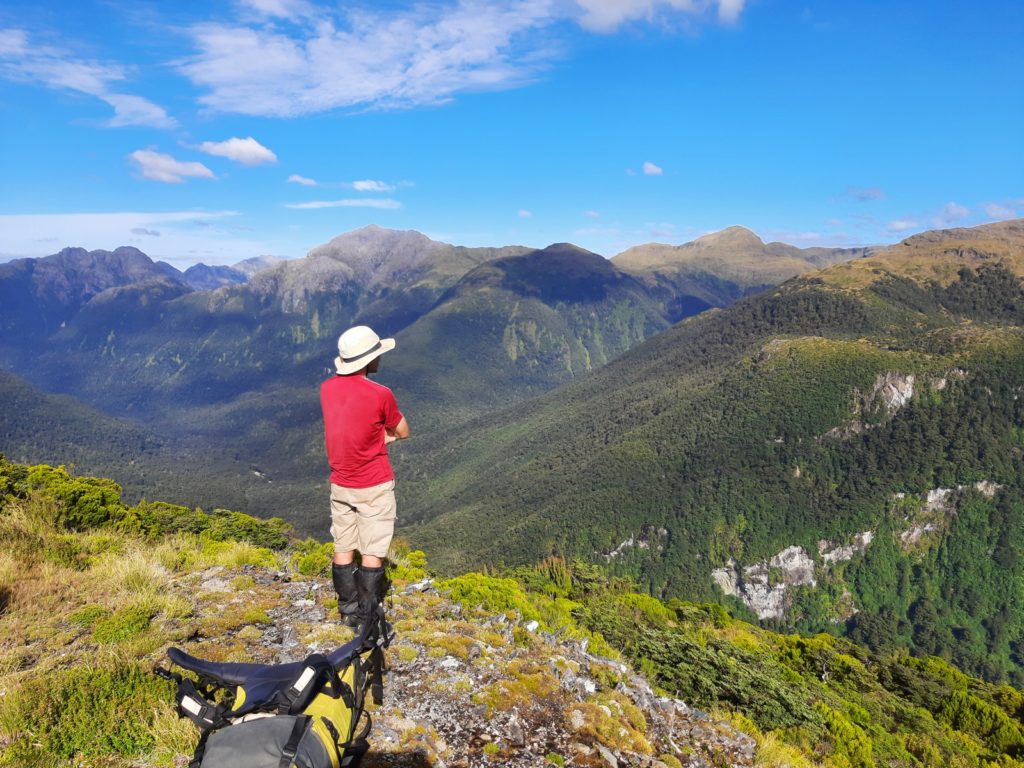
Easy initial drop NNW from 878 then tricky bush and bluffs bending south aiming for bench close to Long Burn.
The Long Burn tributary from the East (~500m South of 878m) was steep sided either side of the point we hit ~300m from Long Burn with ~5m waterfall just below. Not for wet weather crossing.
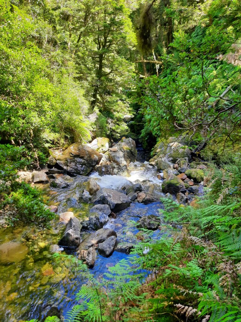
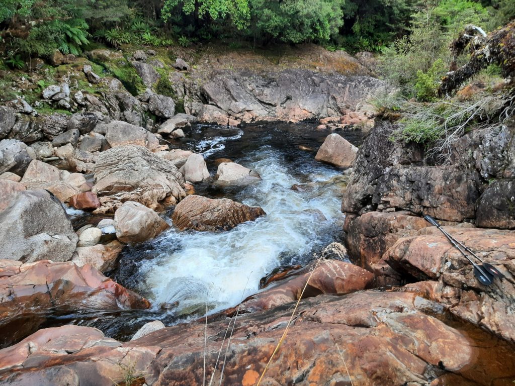
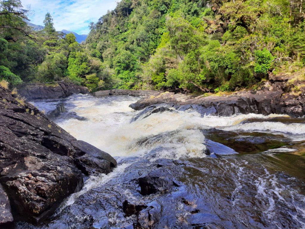
Put in at 180m contour at 4pm. Lots of boulder gardens, but raftable in sections. Some rapids required some rock climbing/canyoning skills. E.g. lowering ~body height into raft in pool below ~2m waterfall.
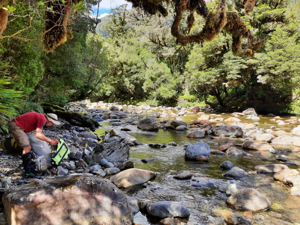
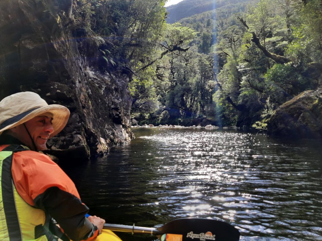
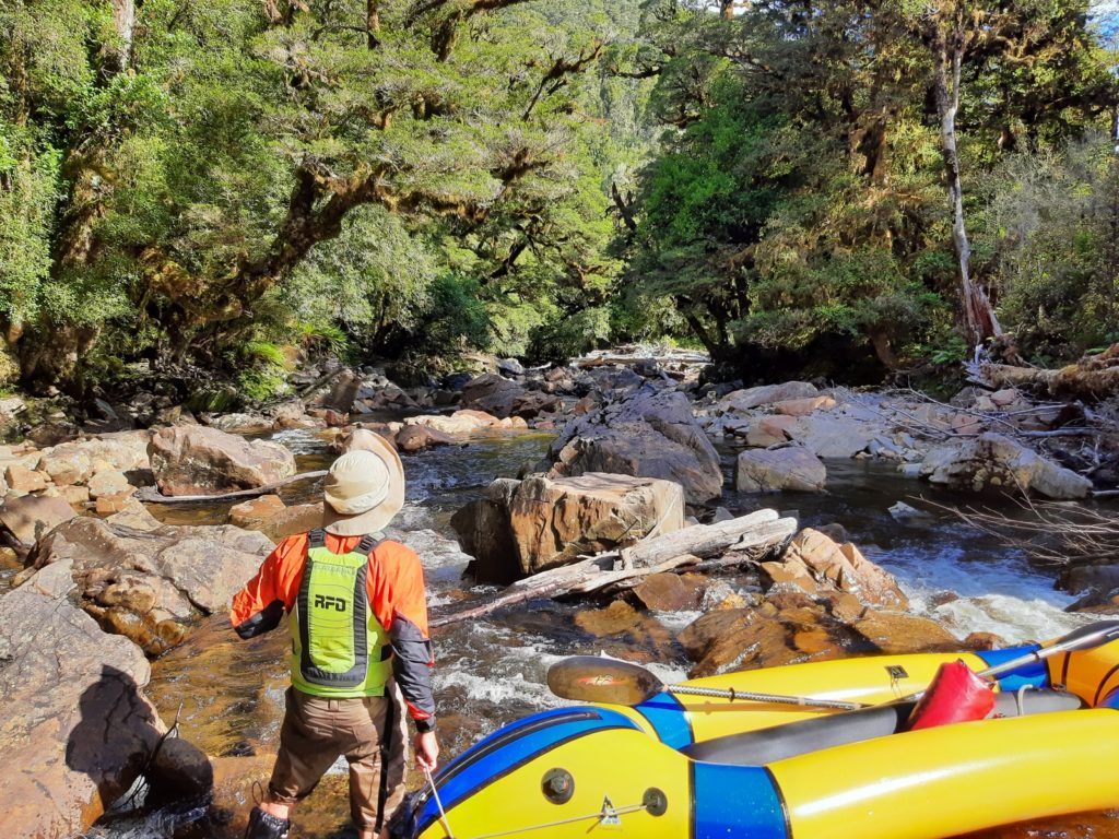
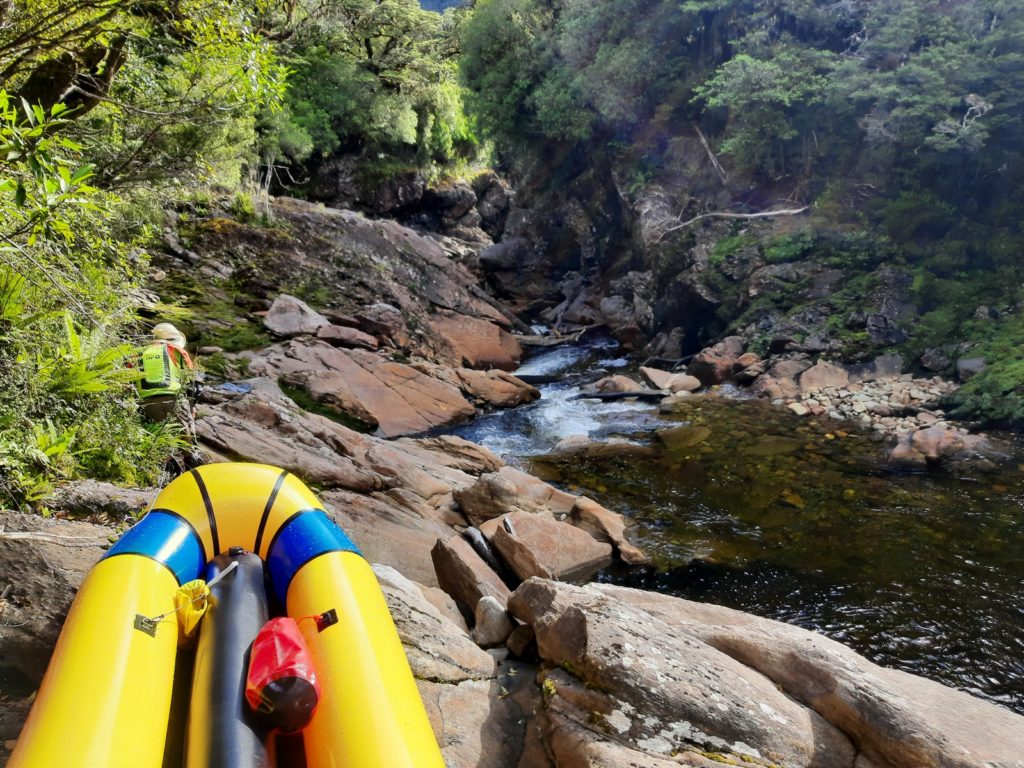
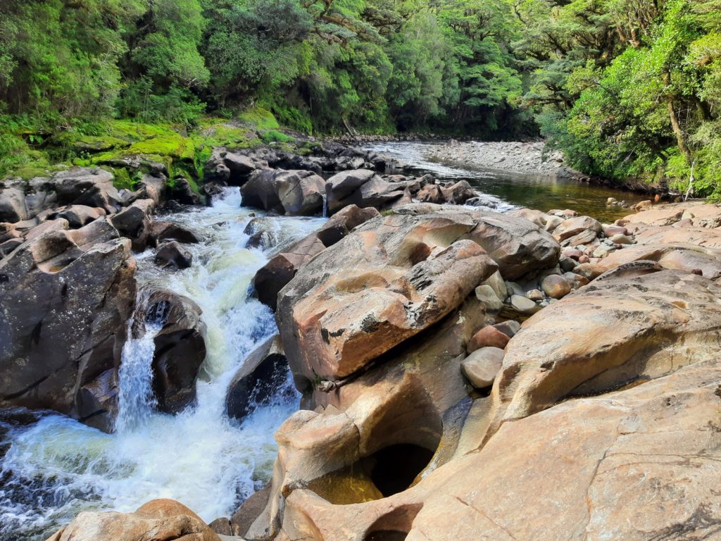
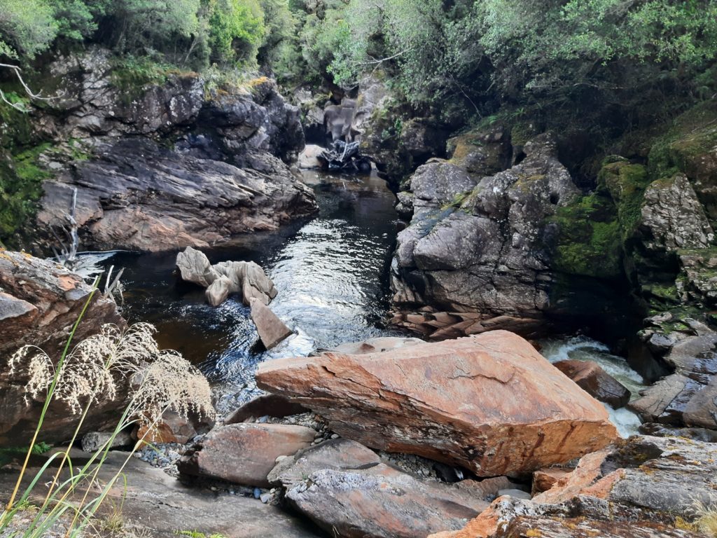
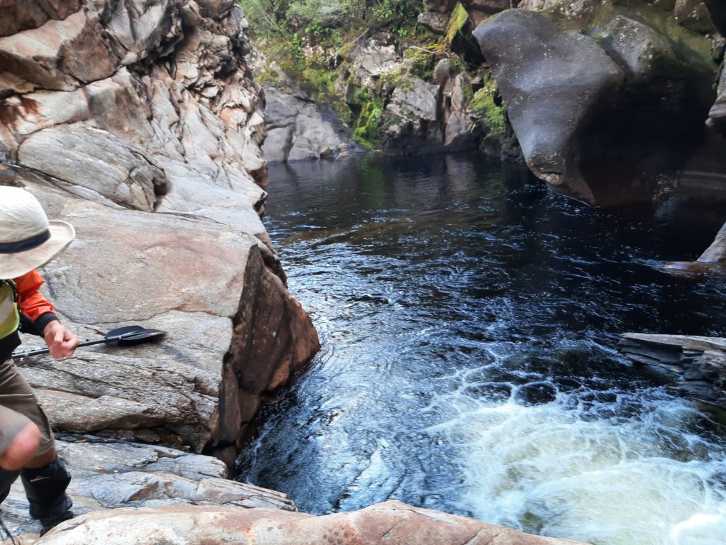
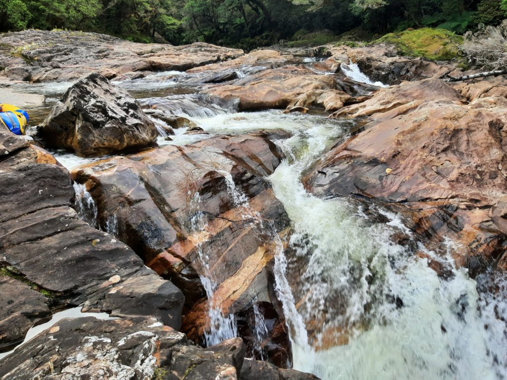
Ran out of daylight. Camped on river edge just below 1st marked rapids on topo map.
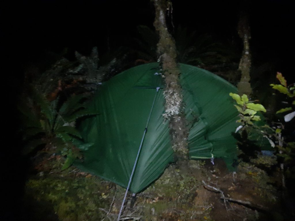
Day 3: Paddle the Long burn to the ocean. Walk to 738 saddle ~15 hours
Easy start. More portage at 2nd rapids but far easier than first set.
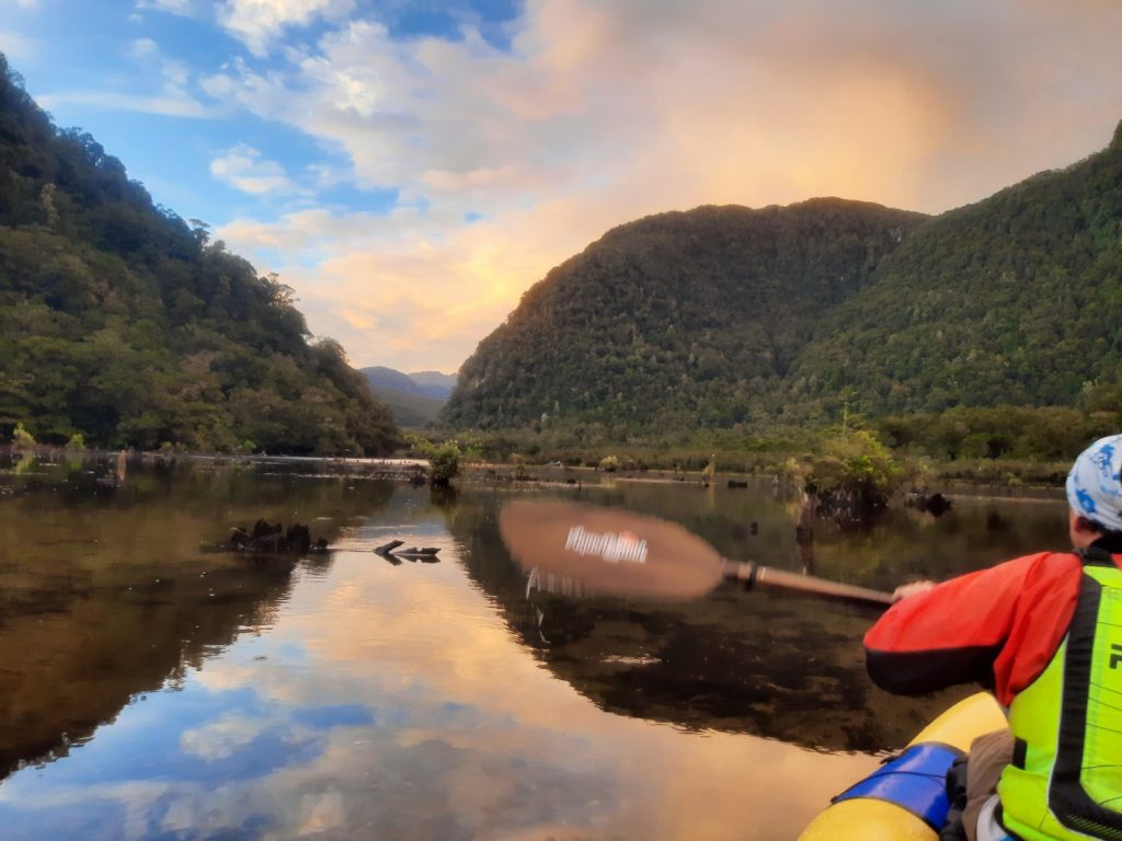
Gorge at 80m contour where bluff shows on true right just above Widgeon, just West of 111 (a harbinger??). We scouted but couldn’t see full gorge length so we opted to deflate and portage on true left.
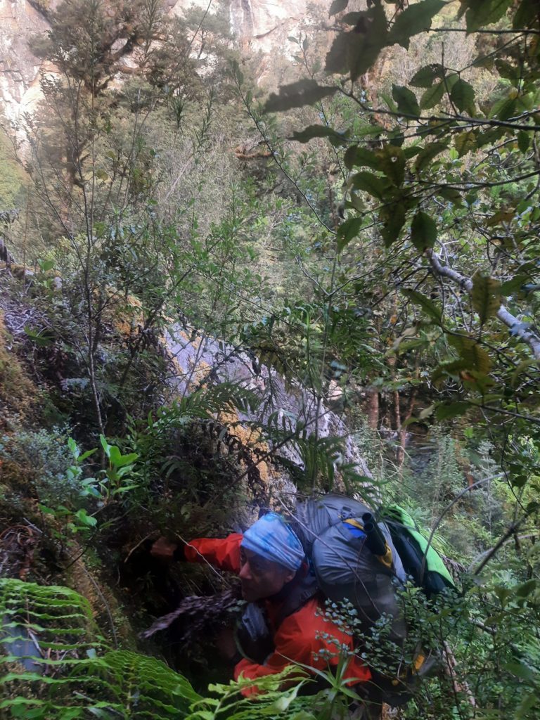
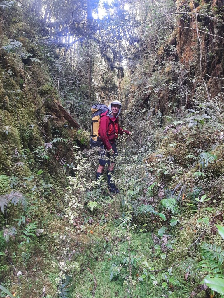
Likely does go OK but no easy escape once in.
Mill pond at Widgeon. Beautiful cascade at outlet required short portage.
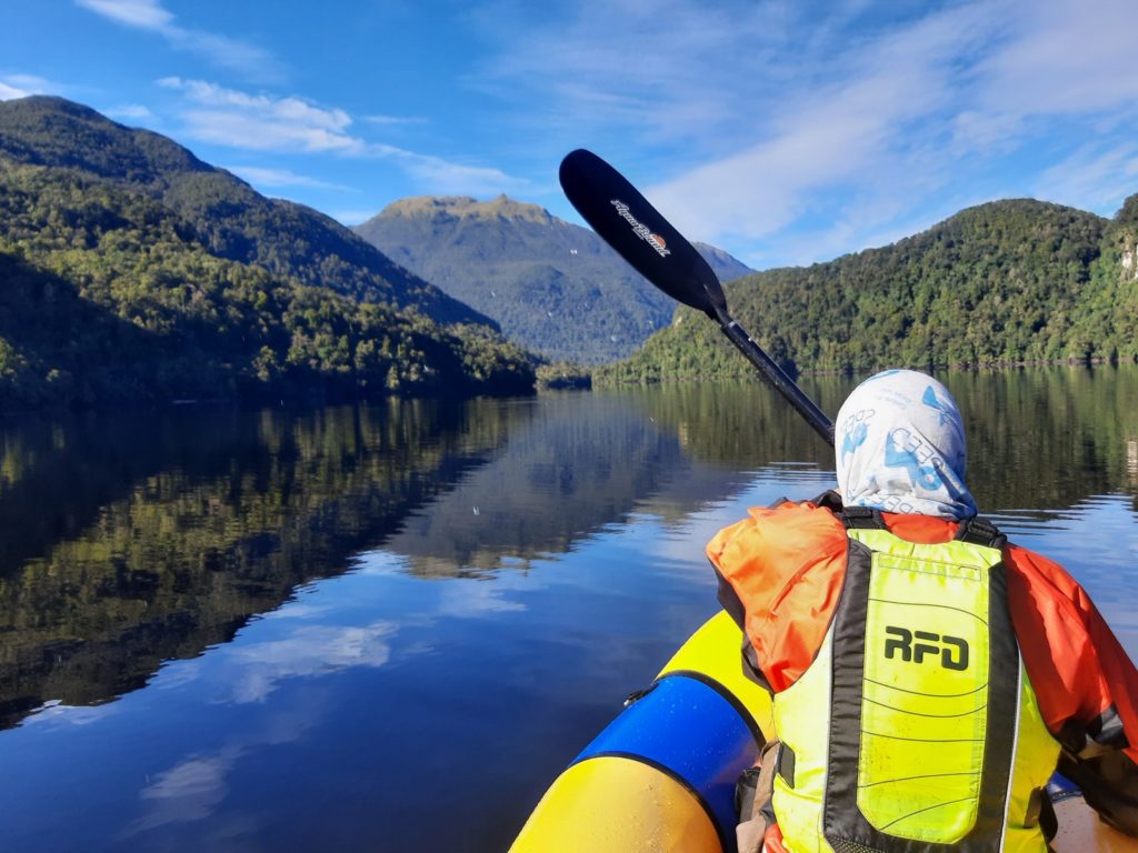
A short paddle on the sea to Richard Burn. Variable travel on and off deer trails to 600m contour then found easy left arc passage through bog pines to 738 saddle.
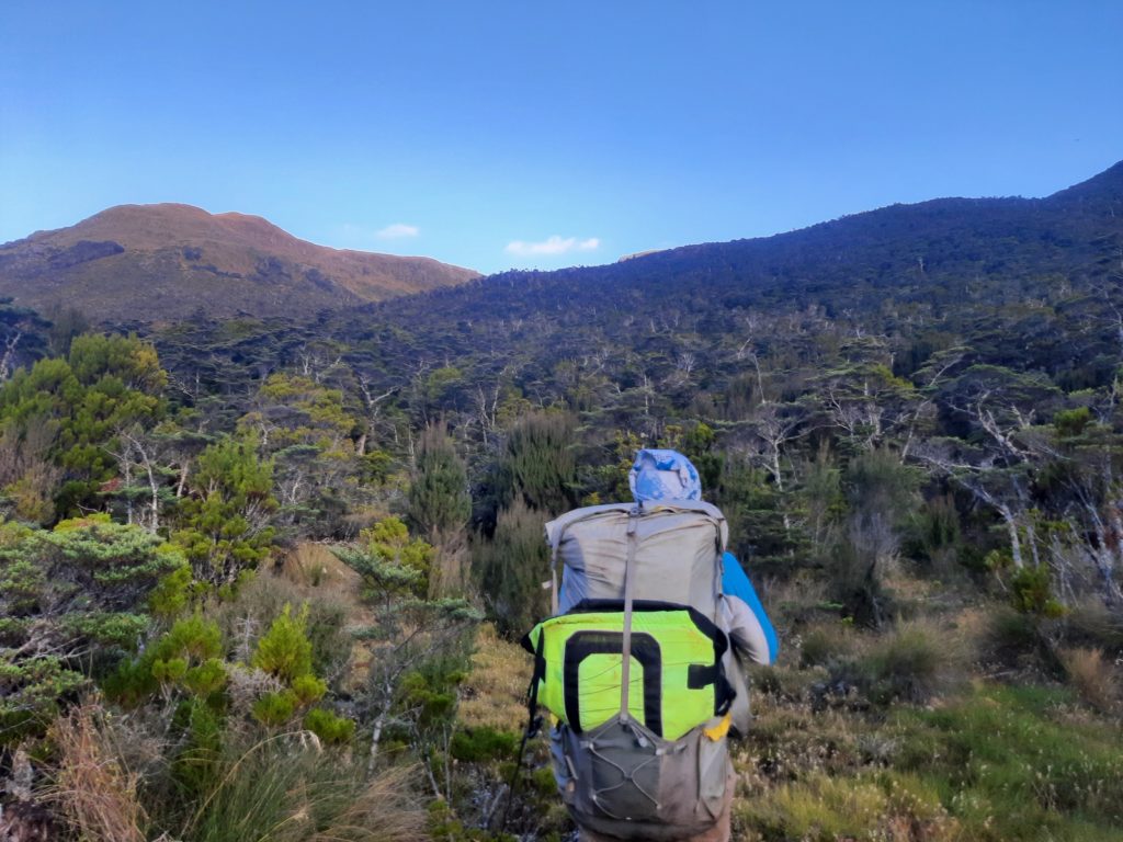
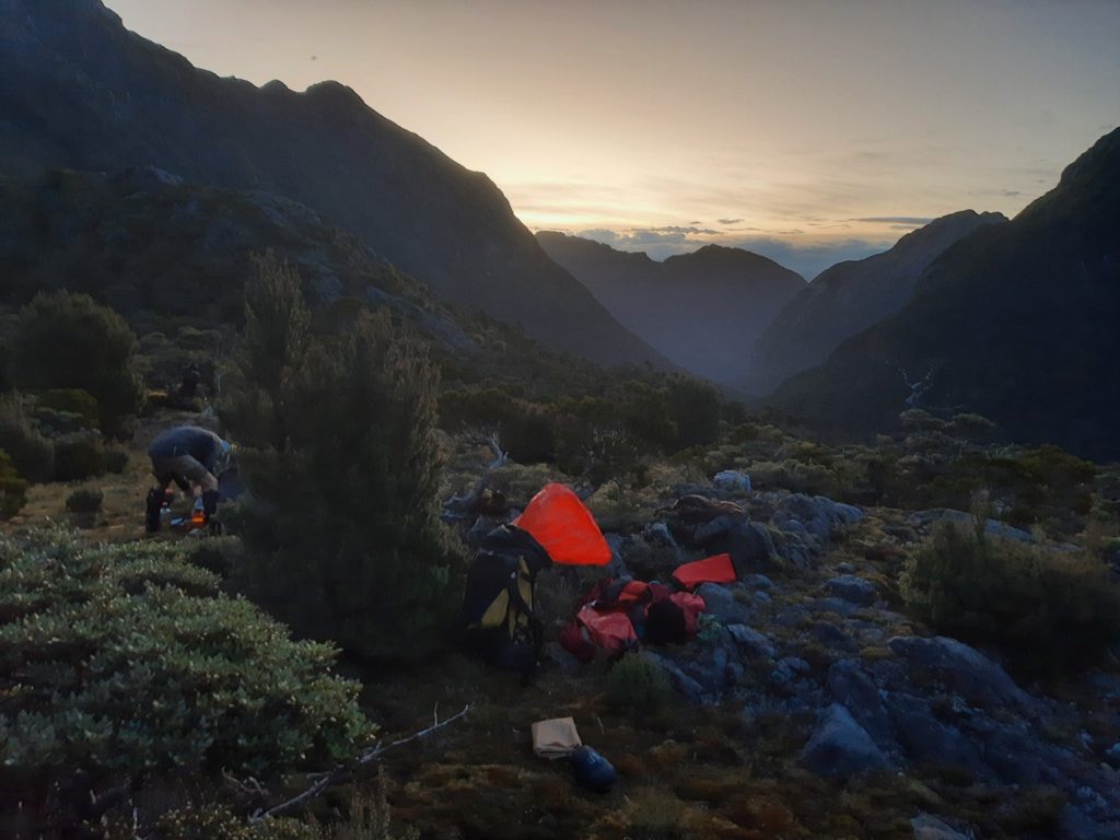
Day 4: Down Mouat Burn, across Poterteri. ~16 hours
On and off deer trail to Lake Mouat still averaging about 1km/hr. Lake ends earlier than shown on map.
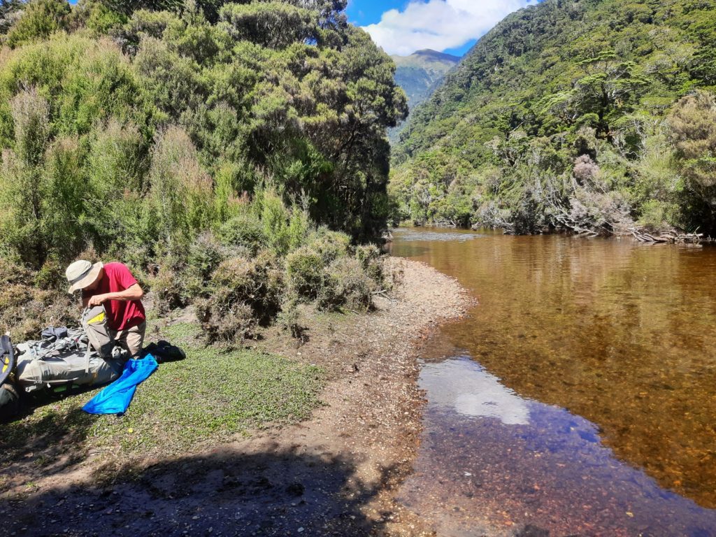
Packrafted last ~3km from true right tributary just below 100m contour. Boulder gardens and tree fall.
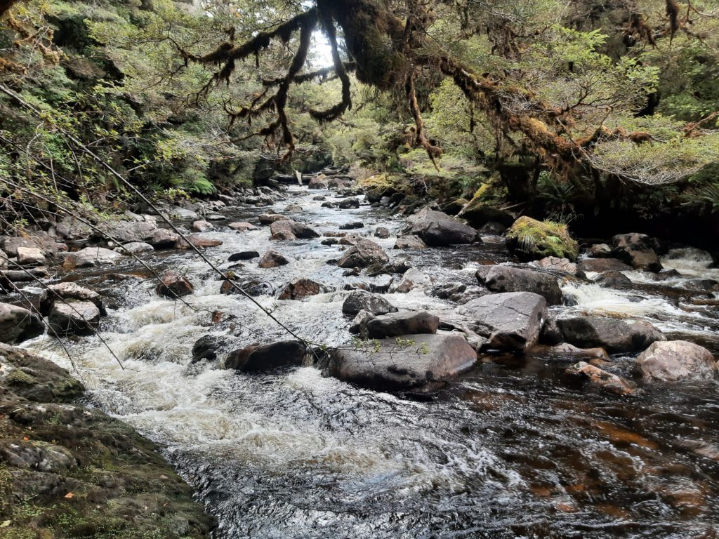
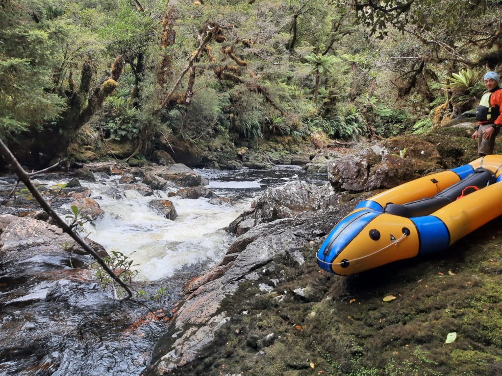
Single pack rafts would work OK. Head wind and waves across Poteriteri in fading then faded light (had head torches out which helped find hut – obvious in the day but has no reflectors).
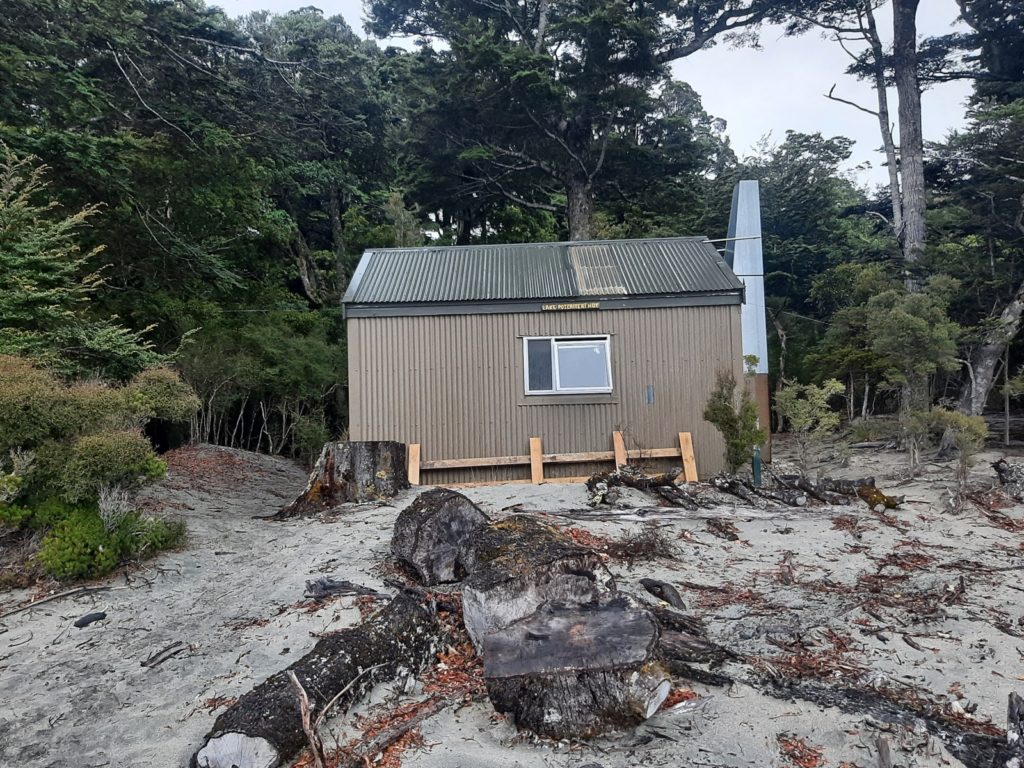
Day 5: Walk to Hauroko. Packraft to Hauroko car park. ~10 hours
~5 hours walk then ~5 hours paddle with gentle tail wind.
Suggestions
1. Don’t go in high flow. Biggest obstacle would be crossing tributary to Long Burn from East, just South of 878m. One option in higher flow could be to head SSW off Sea View to tarns at 700m then NW ~towards 397m – maybe). Also rapids-cum-waterfalls in Long Burn would be tricky to negotiate in higher flow with or without a pack raft
2. Put in below top set (of two) rapids shown on topomap if taking a double pack raft. Above would be OK with a single (depending on your definitions)
3. Exit before drop at outlet of Widgeon. Man-eating waterfall.


