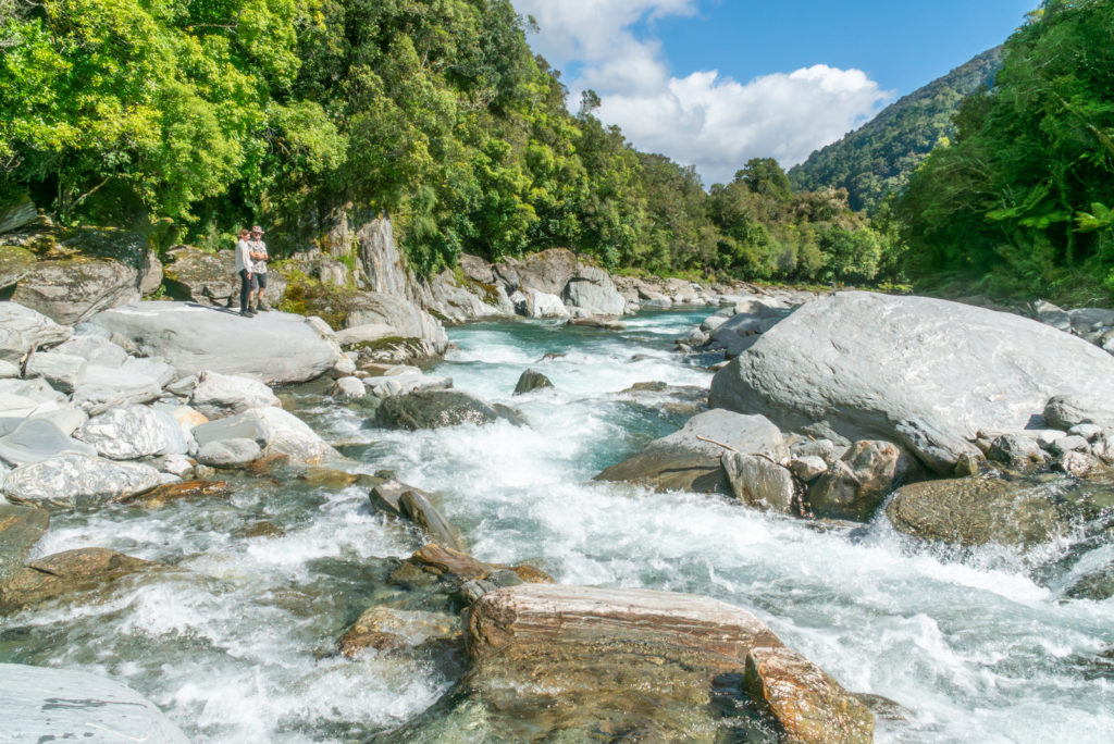
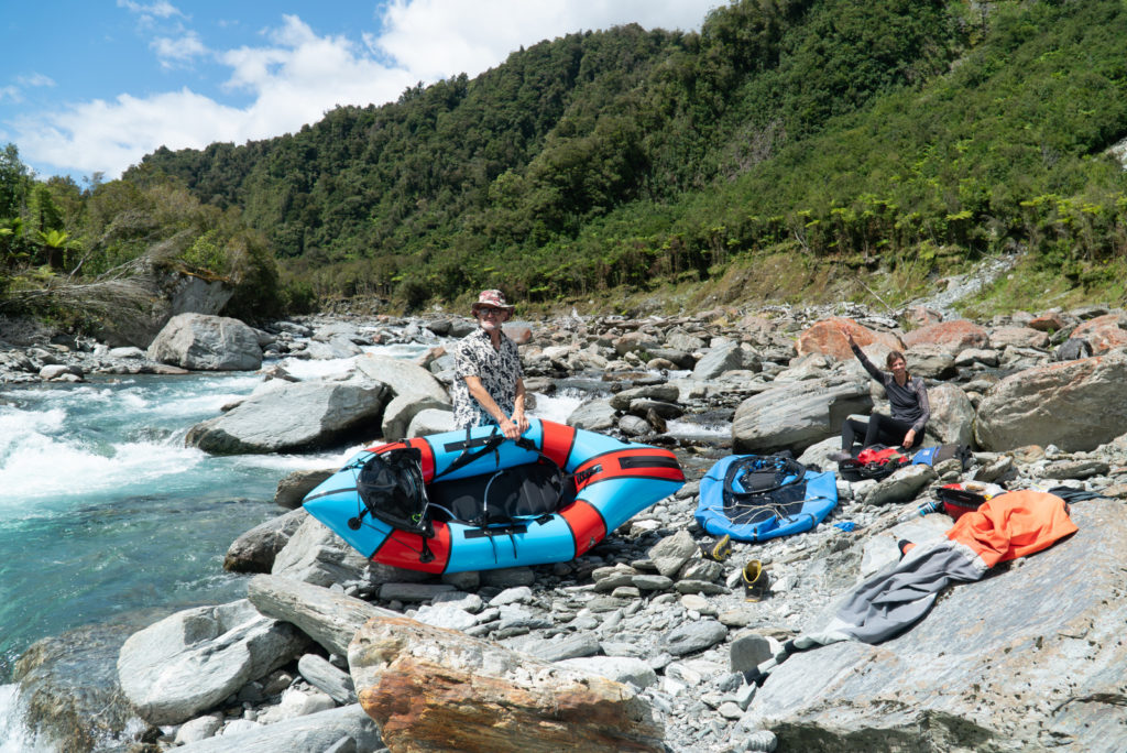
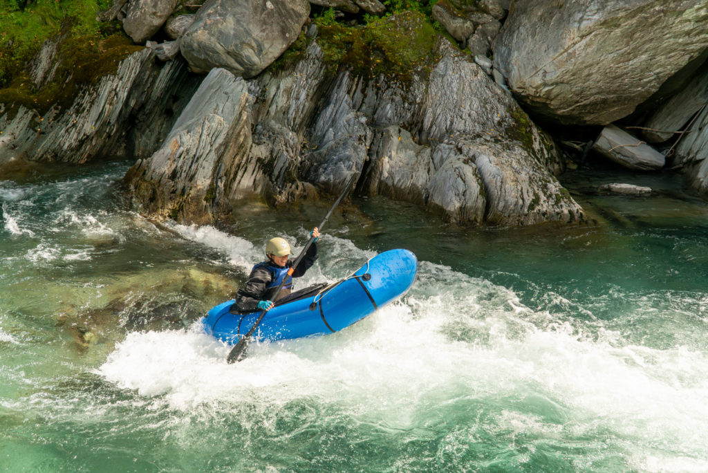
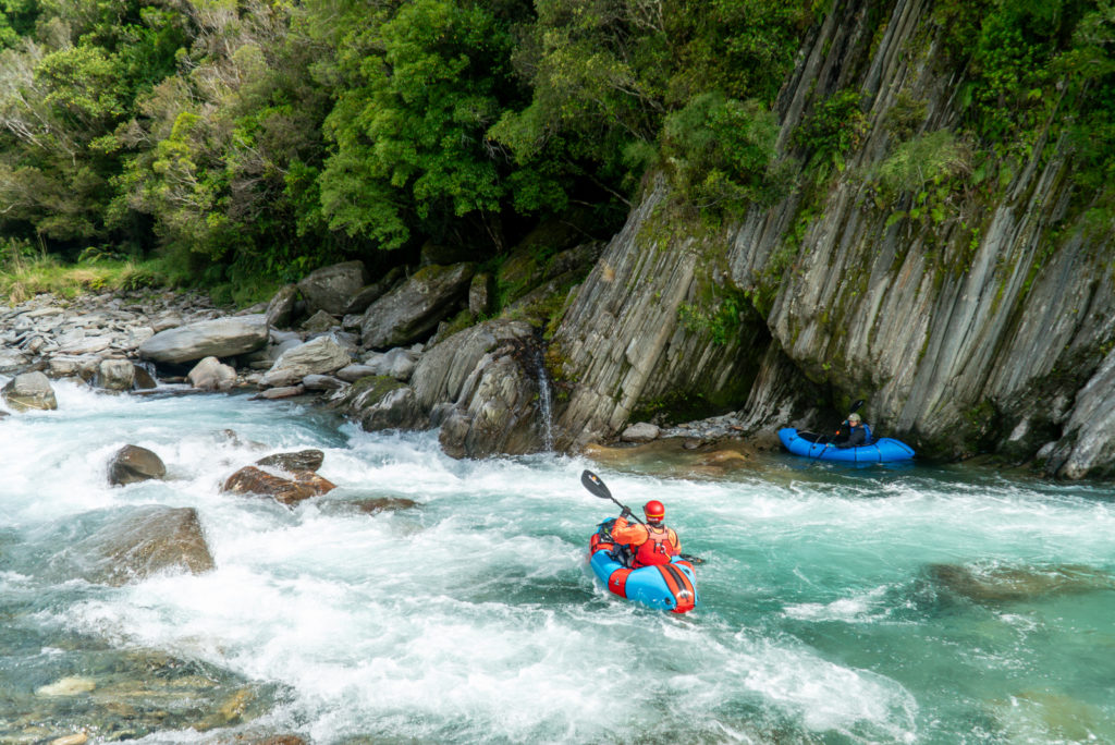
The Styx has long been one of the go-to rivers for self-powered whitewater trips in the Hokitika area. It is well described in Graham Charles’ guidebook as a nicely concave catchment with the rapids generally become steeper further upstream. That translates to something for everyone! The following description is tailored to grade II to III packrafters who will find plenty of scope for a great day trip with relatively continuous rapids in great scenery.
Thanks to Shane Orchard for the description and images.
View Larger Topographic Map
Planning & preparation
Check the track status.
The Styx Valley has been hit hard with storms in recent years, with slips damaging the walking track. Check out the status with locals and/or DOC and give yourself extra time if you are planning to head into the middle or upper reaches.
Beware the afternoon sun!
The busy nature of the rock gardens on this river creates plenty of high-siding and wrapping potential for packrafts, especially when combined with glare from the late afternoon sun that beams into this river valley. To combat this consider starting early on sunny days so the sun angle will be not too low on the water. Or just choose a rainy one!
Approach on foot
A lot of the paddling can be scoped on the way, so keep walking until the rapids look too hard, then put in!
The walk-in begins with a short section of 4wd track that fades away after a few hundred metres. Follow open river flats to the prominent corner bend where the banks close in on the riverbed. Boulder hop along right bank to locate the old foot track, or cross the river to find an alternative track in the bush on the left bank. A short distance upstream at the next prominent bend there is a picturesque section of bedrock that marks what we’ll call the Meharry rapid. This is grade III and named because it is beneath that word on the topo map. The Meharry rapid features a selection of tight twisted chutes in a steep rock garden and is worth scouting on the way up to consider options. Look for wood in chutes and beware of an uncut rock on the right side of the central line at the bottom of the initial drop of around 2m.
Upstream, the riverbed opens out again into more straightforward boulder gardens. This means that intermediate paddlers can craft a great run by continuing upstream to paddle this section with a planned portage around the Meharry rapid.
Further upstream the rapids steepen again, and more serious drops and complex rock gardens begin stacking up in the distance. Pick an appropriate put-in for your level of ambition! For grade III paddlers an obviously manky cascade-style rapid with plenty of dry-docking potential makes an obvious starting point.


On the river
Above the Meharry rapid (III, II+)
Below here the paddling begins with grade III boulder gardens that ease back to II+ for about 1 km above the Meharry rapid. The nature of the riverbed is busy throughout with a multitude of features making for interesting paddling.


The Meharry Rapid (III)
The Meharry rapid has a different character from the sections either side of it due to its significantly steeper gradient. This rapid can be portaged across boulders on the true right bank, or bypassed using the walking track over the bluff which rejoins the river further downstream on the left bank. Although it is relatively easy to spot from upstream there is no prominent take-out pool above it. Ensure you have your bearings here by scoping the section above the rapid beforehand. This is a great place to catch the afternoon sun and marks the last of the more difficult water.
Meharry Rapid to Dorothy Bridge (II+)
Below here the rapids are mainly grade II+ boulder gardens interspersed with easier runs for a further 2 km to the take-out in the vicinity of the carpark. In higher flows the this section can also be extended a few hundred metres to the road bridge.
Dorothy Bridge to Upper Kokatahi Road Bridge (II/I)
It is also possible to continue further for another 4 km to the lower road bridge on Upper Kokatahi Road provided that the riverbed has some extra water. This lower section offers reasonable beginners run that starts with some grade II corner rapids before easing to grade I/II runs and riffles.
For harder paddling further upstream (IV+/V)
These are described by Graham Charles for hard-shell kayaks in the River Guide website.
- The ‘normal’ section of the Styx is from Tyndall Creek to the take out (IV+)
- The ‘upper’ section of the Styx is from Grassy Flat Hut to Tyndall Creek (V)
Gauge
Visual.


