Overview
This unassumingly small West Coast creek exceeds expectations for an easily accessible packraft trip.
Three distinct sections provide something for all levels. The upper and middle are highly flow-dependent and require a little rain for ideal packrafting flows.
The upper section (IV) is beyond the first swing bridge on the Moonlight track. Advanced packrafters can access a tight, steep gorge cram packed with large boulder cascades and small waterfall drops of up to 3 metres.
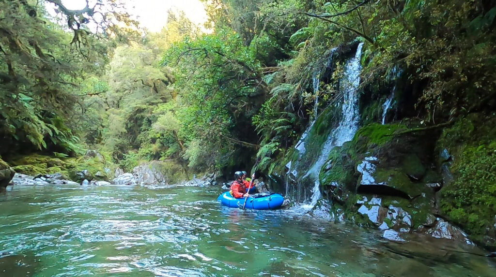
The middle section (II/III) from below the 1st swingbridge to the Moonlight road bridge offers a moderate-grade run in a small volume gorge with a consistent character throughout the entire section. It is perfectly suited to an intermediate packrafting team.
The lower section (I/I+) from the Moonlight Road Bridge to the Atarau road bridge is a gentle float through scenic forest, with a few easy wave trains and boulders to avoid. Well suited to beginner groups who can avoid any log hazards that might be present.
Thanks to Shane Orchard for the trip notes and images.
A note about the wood hazard
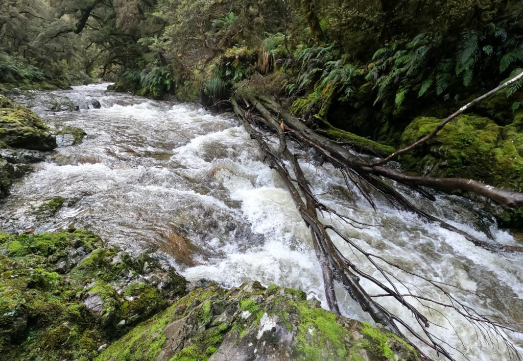
Flowing through a forest, with frequent floods and narrow river bed makes the Moonlight particularly susceptible to wood hazards. In the summer of 2023, there was a large tree wedged across the top of one the rapids in the middle gorge (see photo), requiring a portage on the true right.
Always have an eddy that you can reach in sight, and expect to find strainers that need portaging..
View Larger Topographic Map
Upper section (IV)
The upper Moonlight is much more technical and committing than the middle section.
Approach
From Anderson’s Flat at the end of Moonlight Road, follow the Moonlight track up valley. A tight gorge lies between the 1st and 2nd swing bridges on the Moonlight Track and for the most part it can’t be easily seen or accessed from the walking track. Above the 2nd swing bridge there is more good water and the track closely follows the stream. There are several potential put-ins beginning with the 2nd swing bridge or higher up along the track.
On the water
The character of the stream here is steep with several small waterfalls and rock chutes, some of which come in quick succession. There are also several large boulder chokes (especially in the main gorge between the 1st and 2nd swing bridges). There is plenty of potential for sieves and other entrapment hazards. Most of the features will require bank scouting to place safety and check for wood.
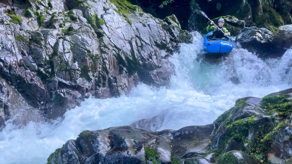
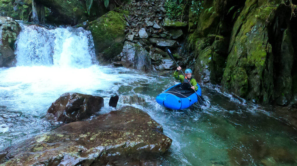
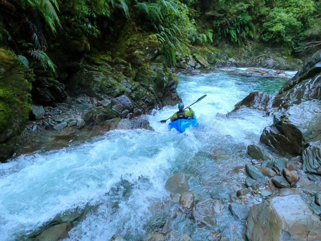
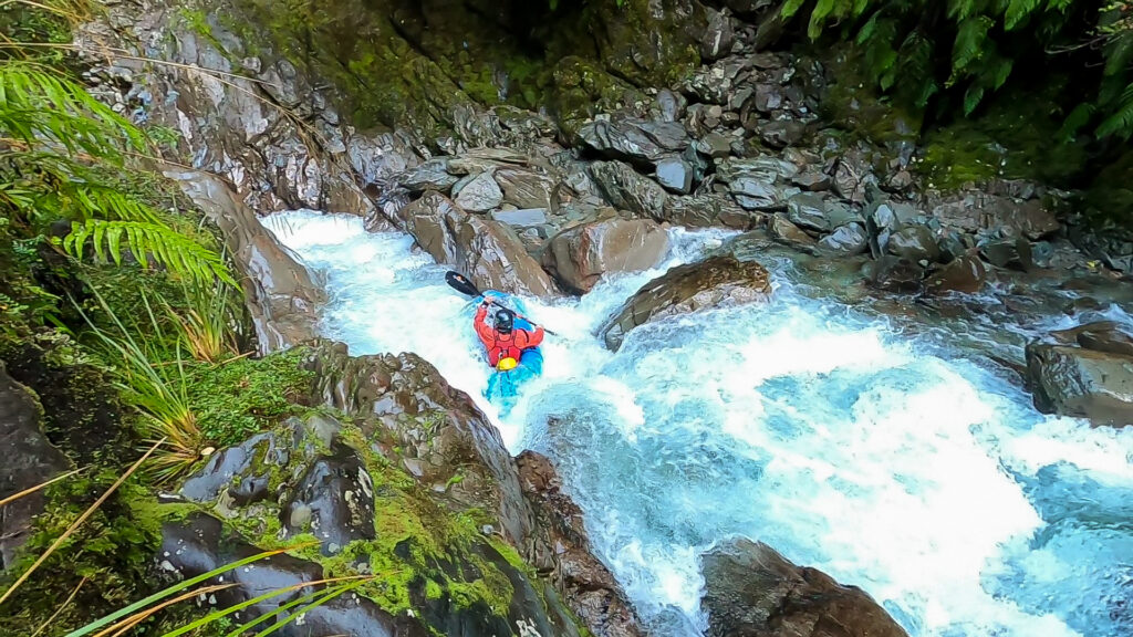
The main gorge has a committing feel, with high sides for around 2 km. It starts with a series of boulder gardens and rock chutes leading to the canyon feature about halfway down. This short slot canyon is just wide enough to handle a boat and exits into a large pool.
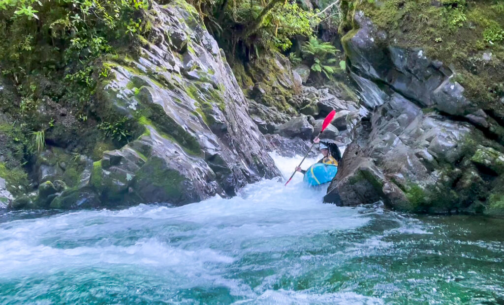
The canyon also marks a change in the geology; from here the riverbed gradually opens out towards the bottom of the gorge. The gradient eases markedly just above the 1st swing bridge. Enjoy easier grade II rapids back to Andersons Flat or continue on to the middle section.
Middle section (II/III)
Approach
From the Anderson’s flat car park there is a good put in only a few minutes walk up the track. This makes it possible to gear up and inflate the rafts at the car.
For a slightly longer trip, take your packed equipment up to the first swing bridge on the Moonlight Track. The grade II rapids are mostly visible from the walking track on the way up, and provide a good warm-up for the rest of the run.
On the water
From the 1st swing bridge, the river is open bouldery grade II in character with a few bedrock ledge rapids on some of the corners.
The open river bed ends just upstream of Andersons Flat where a nice entry rapid leads into a beautiful mossy gorge that sets the tone for the next 3 km down to the Moonlight Road bridge.
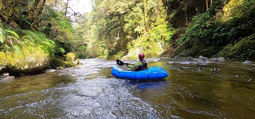
Most of the rapids (II/II+) have a pool-drop feel and are easily boat scoutable.
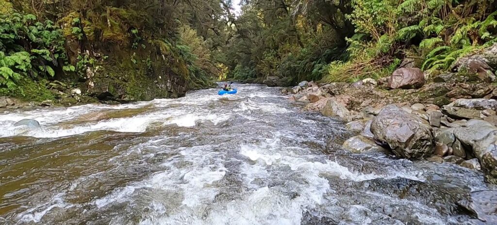
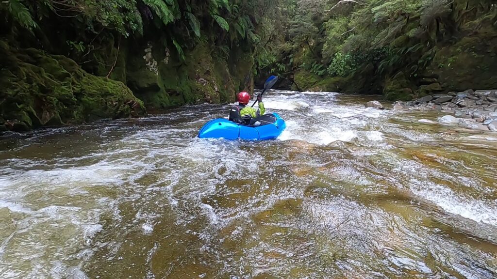
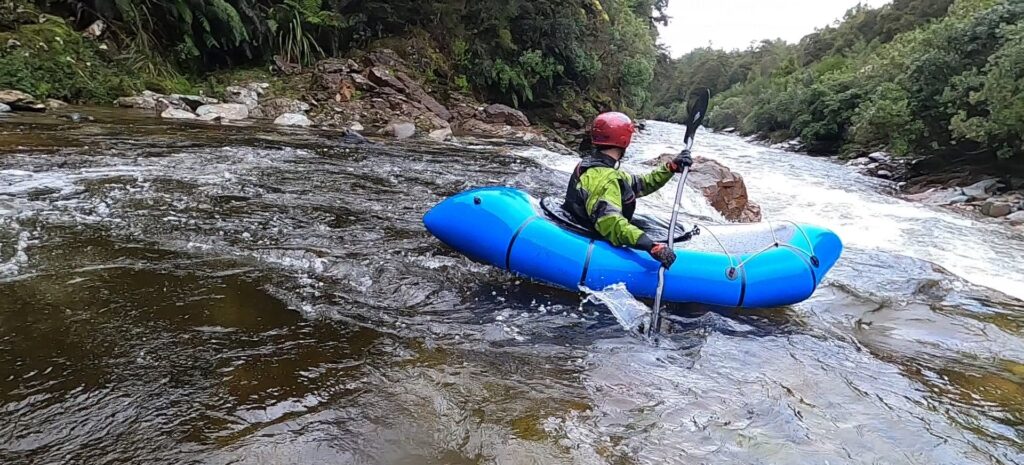
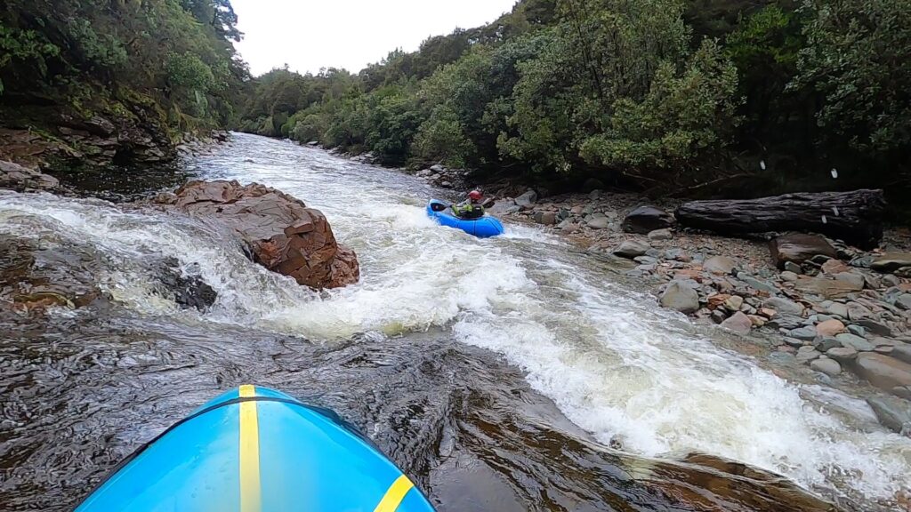
One exception is a longer rapid midway through the gorge that is slightly harder (e.g., grade III). In higher flows this gorge section becomes much more continuous and pushy in the grade III/IV range.
Towards the end of the run, the riverbed opens out a little but picks up some extra volumes from some side streams. Regularly spaced rapids continue to within a few hundred metres of the road bridge. There is a good takeout just downstream of the bridge.
Lower section (I/I+)
Approach
No walking is required! Just after the Moonlight Road Bridge, there’s a grassy area on your left which leads down to the water. Take out on the true right at Atarau Road Bridge
On the water
Shortly after starting Garden Creek enters, which boosts up the flow a little.
This section is a mellow grade I float, with occasional riffles through boulders. Its pretty and forest lined, so watch out for tree hazards such as strainers!
When the native bush gives way to scrub and some exotic plantations, the river goes through a patch of private land. Stay in your boat here, leave the picnic stops for further upstream!
As you pass the farm on the right, the river braids up, getting quite shallow.. Some “walking the dog” with your packraft on a leash might be required.
Take out immediately past the bridge, on the true right.
Gauge
Visual: assess the flow at the Atarau Road and Moonlight Road bridges.
Its worth noting that the view upstream from the Moonlight Road bridge (take-out for the Middle section) is decidedly uninteresting as the river bed is wide and shallow here. If most of the riverbed is covered with enough water to float, the chances are the rest of the run will have sufficient flow. You can also see into the top part of the gorge adjacent to Andersons Flat.
Higher flows will make for much more committing, continuous and pushy water. Best to err on the side of caution until you have experienced the run at ideal flows.


