The Okarito River flows gently from Lake Mapourika and follows State Highway 6 for 4-5km before following the Forks Okarito Road past the Wahapo Hydro Power station to Okarito Lagoon. The upper river section provides a relaxing, almost flat, class I float trip. From the junction with Forks Okarito Road the river gradient increases and a series of class II rapids leads down to the Power Station. Beyond the Power Station the flow increases to form the two largest rapids immediately below the outflow. Below these the gradient eases and the river meanders through wetland and eventually feeds into Okarito Lagoon for a flat water paddle finish.
Thanks to Alex Head & Scott Condron for the trip information and photos
View Larger Topographic Map
Access
Put-in at the MacDonalds Campsite along SH6 on the shore of Lake Mapourika.
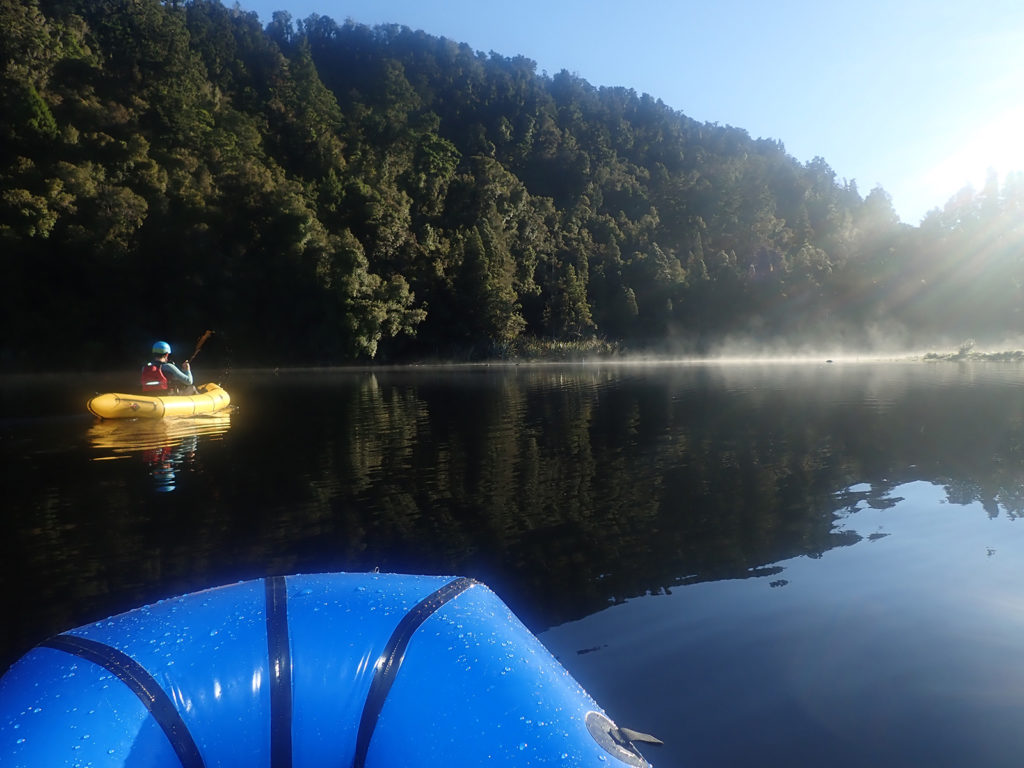
Access to the Okarito river is also possible from several small lay-by’s along the road, at the Trustpower Wahapo Hydro Power station, Tidal Creek junction with Forks Okarito road and Okarito Historic wharf.
Shuttle
The full trip requires a simple car shuttle or 17km bike ride. Multiple access points allow the trip to be shortened if required.
Route information – via water
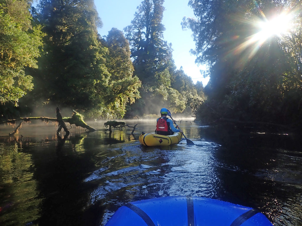
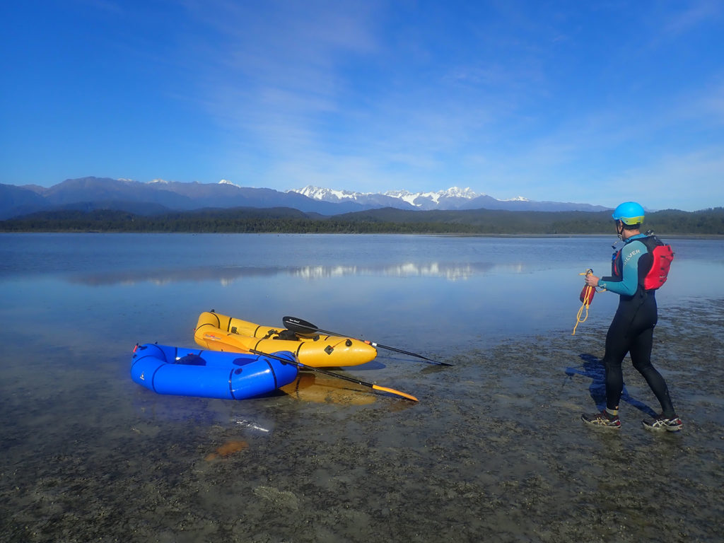
The Okarito River is narrow and enclosed on both sides with native west coast vegetation providing a sense of remoteness that belies the proximity of the road for much of the trip. Lake Mapourika offers clear views of the Alps on a calm day and feeds the start of the Okarito River. The first several km’s of the river provide a easy gentle float. The water is slow moving and shallow in places and there are no rapids to note. There are multiple trees in the river and branches to avoid, which while not providing any difficulty, are sometimes hard to see in the dark tannin stained water. Small eddies provide opportunities for scouting the rapids, which is recommended due to the amount of treefall that was evident.
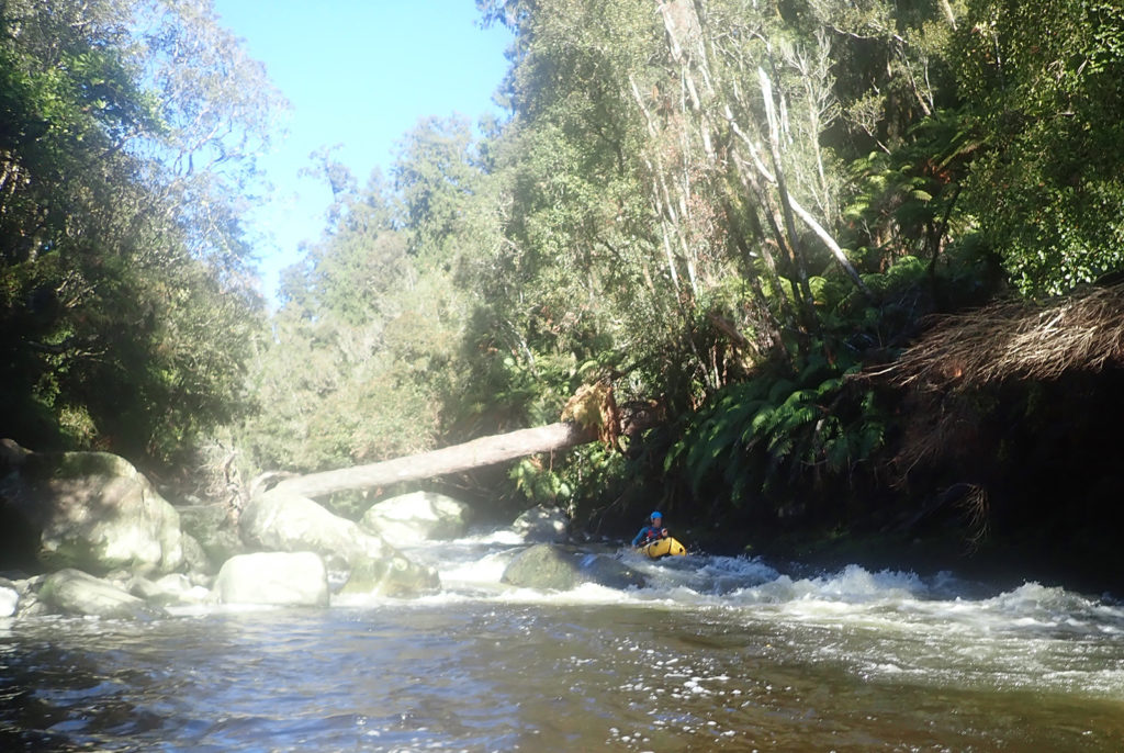
After 2km the gradient noticeably increases creating a series of fun and quite continuous class II rapids. This culminates in a class II+ pour over rapid which can be scouted from very small eddies and shallow water on the TR of the river. Note this would be difficult to portage and dangerous at higher flows due to a large tree which bridges the full width of the river above head height. (Refer photo)
Fun bouldery rapids continue under The Forks Road bridge to the junction with the Wahapo Power Station. This TrustPower Hydro Power Station outflow joins the main river flow on the TR and swells the river to nearly twice the volume. A small shingle beach provides access to the river at this point and offers the opportunity of a shorter trip and exit. Beware and stay clear of the outpour.
The largest two rapids occur in quick succession below here. The first is a straightforward class II rapid but this leads quickly to a horizon line and steep drop into the second rapid which was beyond our ability and we portaged on the TR. This second rapid ends in a large hole with significant hydraulic and is perhaps class III, recommend scouting. A swim on the top rapid would provide little time to self rescue before the second.
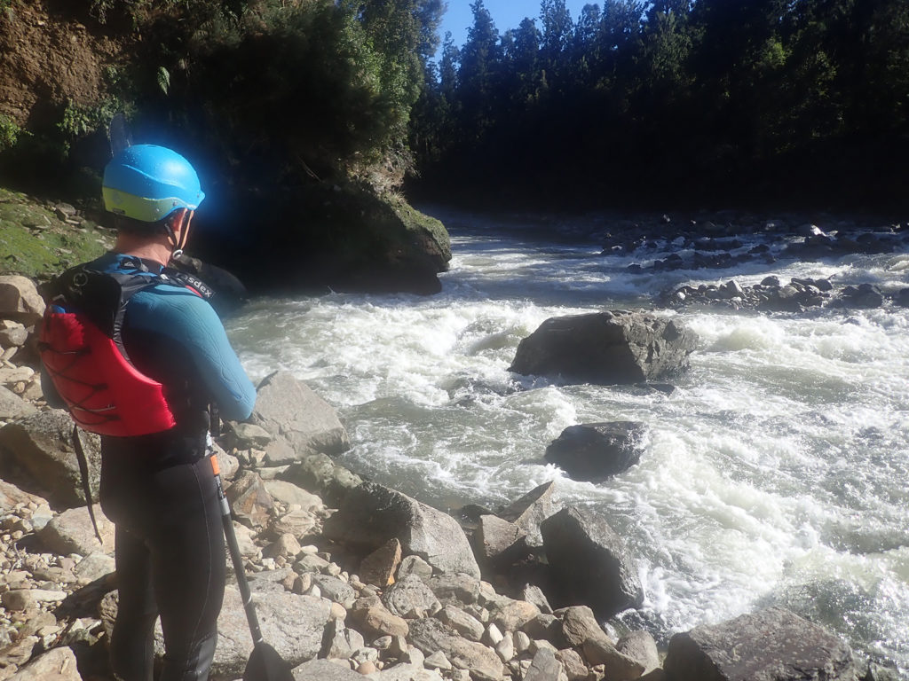
Both rapids are easily portagable at sensible flows.
Beyond these difficulties the gradient and flow ease as the river enters the wetlands and Okarito Lagoon. The final 4km is a flat water paddle across the Lagoon to either Okarito Wharf of Tidal Creek where a layby and steps offer easy access to the road. Tidal flows in the lagoon, a head wind and a slow packraft can make going very slow.
Worth having a look at the local tide charts, and timing your trip to avoid the afternoon sea breezes..
Time estimates:
Lake Mapourika to Wahapo Power Station: 2 hours
Wahapo Power Station to Okarito: 2 hours.
Gauge
The river level was at the lower end of what would be required as river depths at the exit from Lake Mapourika were only just enough and several of the braids required boat shuffling.
Westland Regional Council has flows for several of the surrounding major rivers. The Flow in the Whataroa River at State Highway was as follows: Water Level Primary (mm): 500
https://data.wcrc.govt.nz/cgi-bin/HydWebServer.cgi/points/details?point=492


There’s a new dangerous tree accross the river, right at the confluence with the Zalas (in rowdy waves described in Nick’s report). We normally run the river at higher flows than described here, and at those flows you won’t be able to see the tree until you’re in the rapid and catching an eddy or avoiding the tree would be challenging in a packraft. Recommend avoiding paddline this section till the tree is gone. I live nearby so will update once it’s gone.
We recently ran the upper Okarito twitch from ca. 2km downriver from the lake to the Forks/power station in higher flows. Judging by the photos above, it was probably at least around 0.5 higher level. It had rained about 150mm in Okarito the previous 4 or 5 days with ca. 80mm of rain about 36h before we put in. River was quite pushy even in the upper flatter reach and quite a few continuous Class II+ from where the gradient gets steeper. Eddie’s were present but few.
The pour over described (FYI, the log has been removed by now) requires some manoeuvring or you’ll end up in a hole in the middle of the river, could be a III- at those flows. Stay as close as possible on the right of the large boulder at the top entry and then punch further left just below and pass the hole close to the river left wall. Self rescue might be tricky at higher flows and you’d want someone waiting below the rapid to collect your gear in case you flip and can’t hold on or self rescue.
The confluence with the Zalas has some rowdy waves just before but is really fun as you get spat out into the pool at the confluence.
The Class II+ rapid just above the power station outlet has a fun wee drop on river right, but can be avoided easily.
Getting out and scout is difficult at higher flows so being confident in continuous and pushy Class II+ for this section would be the minimum requirement.