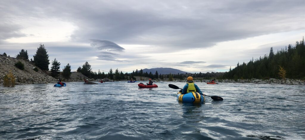
A few times a year, loads of kayakers, rafters and packrafters congregate at the Pukaki, to enjoy a very pleasant class II run down the otherwise dry riverbed. A road along both sides of the river makes it easy to choose the length of your run, although there’s a fairly accepted ‘middle’ and ‘end’ point for most people. Those who want to paddle the entire length of the river can also do so, all the way to the Haldon Arm of Lake Benmore.
The Pukaki Release
A Pukaki release is a very social event. There are only four releases (of 45 cumecs) each year, so people make the effort to show up. School groups, kayak clubs, and visitors from all round the central and lower south island make the river feel pretty busy! The vibe is super positive though; if you turn up without buddies but with a good attitude, you’ll probably be able to make friends and join a crew.
Release dates vary each year: there doesn’t appear to be an official website, but news spreads around the paddling community pretty quickly when the dates are announced. Generally they are announced for the summer season, with quite a bit of warning.
Keep an eye out on the Tekapo Whitewater Course Facebook Page and Packrafting Association of NZ FB page and if in doubt, ask around: someone will point you in the right direction!
Safety isn’t always in numbers
The number of people on the water can make it harder to keep a track of your own group. Sometimes groups combine or re-mix: its really important to be disciplined with group management, ensuring the people who are responsible for watching each other, are actually doing that job.
Even though its ‘only grade II’ there are still enough hazards to remind you its a real river with real consequences. Identify your team and paddle together. “I am responsible for you, and you are responsible for me”
The shuttle
Just to the north east of the Pukaki spillway, turn off to the access road and bump your way down to the staging area. Pick a park and say hi to old and new friends. If your vehicle makes it down this bit of road, its probably going to make it to the take out..
As of April 2025, the road is rocky and rough, requiring a vehicle with some clearance. A Subaru would probably make it if you were careful, but there’s a good chance of vehicle damage. Any sort of 4×4 truck will be just fine.
View Larger Topographic Map
The ‘middle’ take out is about 3.3km from the staging area, where you drive close to the river after driving up and over a bluff section. This is a good option if you want to do a few laps, try out different boats or concentrate on the upper section of river, which is slightly more technical.
The chimney (end) take out is about 6.3km from the staging area. Unsurprisingly, the 3m tall concrete chimney sitting in the tussock makes it fairly hard to miss, from the road or the river.
On the river
Stroll down from the staging area to put on below the river-wide boulder pile sieve: a big pool makes it easy to warm up before you head into the action.
The character is medium volume pool-drop grade II boulder gardens. The first rapid is probably one of the chunkiest, with a big boulder in the middle that sends up a neat-looking rooster tail. Boof the middle if you know what that means, or chicken run either side.
That rapid is quickly followed by another boulder garden, which needs a little bit of navigating to find the right line. Have a wee scout, or follow someone who has already done a lap that day.
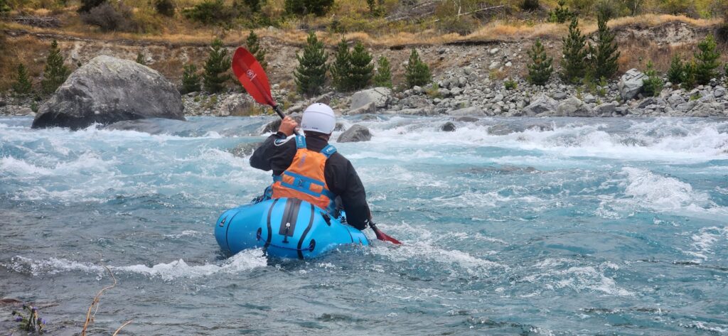
There’s plenty of spots to practice catching eddies, ferries, S-turns, with just enough current to require reasonable technique, but not so much that it is too scary to try… A great training scenario for beginner-imtermiediate paddlers.
After passing a huge moraine cliff on river left, keep an eye out for your vehicles if you’re taking out at the middle.
The flat sections seem to get a bit bigger, but then a handful of fun grade II drops remind you that it isn’t over yet!
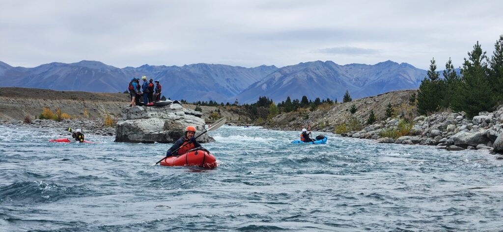
The selfie rock is a huge 8x8m flat topped boulder in the middle of the river: with good teamwork you can eddy out on the downstream side and climb up for a unique piccie..
Once you pass under the high-tension power lines, keep an eye out on the left for the Chimney. Its pretty obvious!
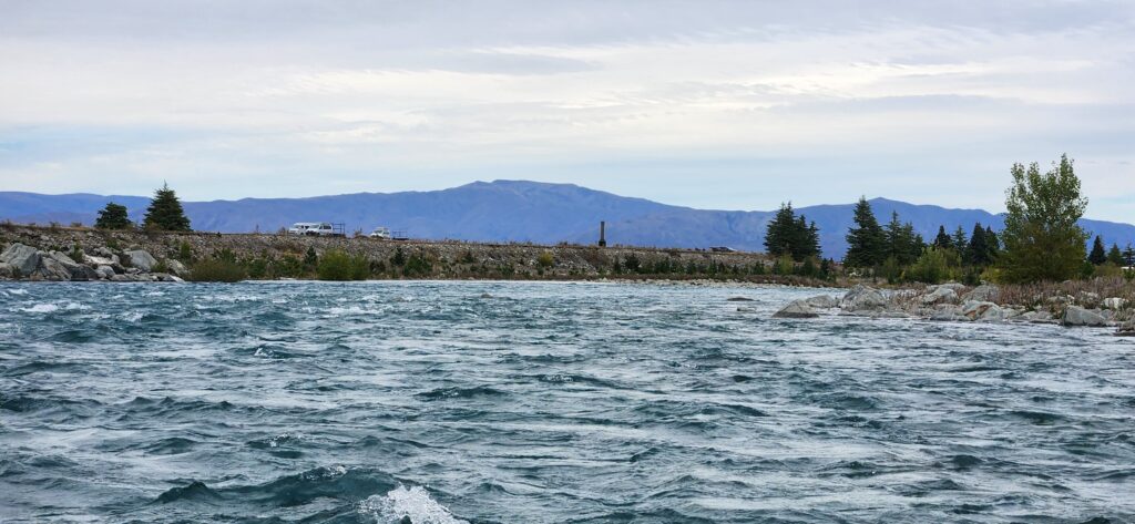
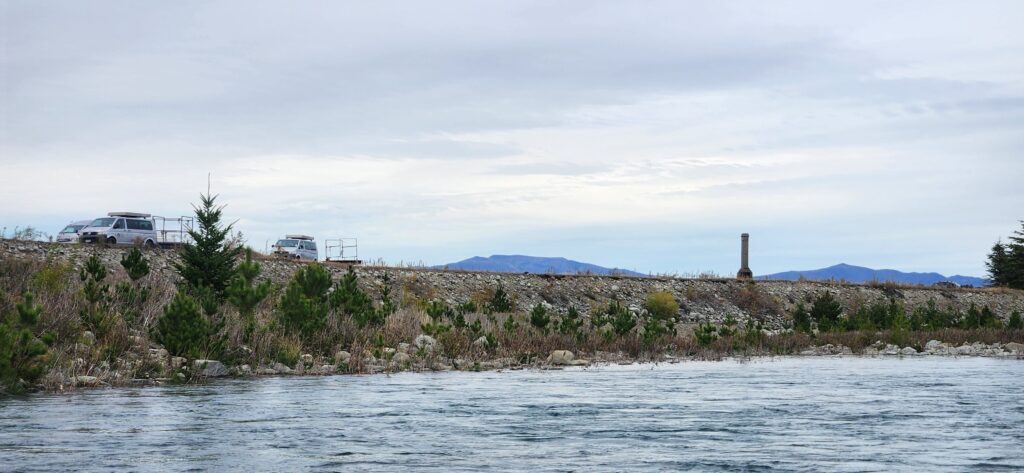
You can paddle the ‘final’ rapid beyond the chimney, the scramble up easily to the road. Just watch out for sharp flora: rose hip, matagouri and other spiky species are absolutely everywhere.
This run is also described in the Whitewater Guidebook and online at Riverguide.co.nz
All the way to Lake Benmore?
We’re told that the gradient relents after the chimney take-out, making the rest of the river a fairly mellow I/II float. Its a long way to lake Benmore: each release has a scheduled start and end time, so start early enough that you don’t run out of flow along the way…
We haven’t done it ourselves, but it seems a better shuttle option would be the Mcaughtries road to the Ohau C power station, rather than the rough 4WD road on the true right.


