The Taieri is the 4th longest river in New Zealand, 288km from its source in Central Otago to its mouth near Dunedin. Draining the Maniototo plains, the fan of tributaries gather as they pass the northern foot of the Rock and Pillar Range. The river then parallels the Range through to Middlemarch. Along the way it cuts through a maze of hard schists, leaving behind some beautifully scenic gorges to paddle through.
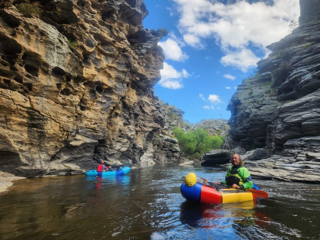
The Rock and Pillar Run is a scenic delight for packrafters. Weaving among farmland and hidden from the road, this section is a hidden gem. Alternating between willowed banks and those spectacular schist gorges, The Rock and Pillar Run of the Taeri is quite unlike the other trips in the region.
The run is mostly grade I floating, but there are a handful of harder rapids in the gorges. These reach grade II+ in lower flows or III in higher flows. These can all be portaged, making this a great trip for newer boaters with something to entertain more experienced mentors along the way.
The Rock and Pillar Run has many options for 1 to 3-day trips. With the road and the Otago Central Rail Trail nearby, shuttles or loops by car or bike give you many ways to plan your adventure.
Thank you!
Thanks to Bryan Moore and Kat West for the initial information. All photos and video courtesy Alan Swann. And to Dan Clearwater for bringing together all the content into a trip page
Below Middlemarch, the Taieri gathers more water and enters some more serious gorges. These runs are well-known to kayakers, with the lower section being an Otago classic. The Sutton to Hindon (III+) ‘upper’ section and Taioma to Outram (III+) ‘lower’ section are described in the Whitewater Guidebook by Graham Charles.
Overview of the Rock and Pillar Run
The sections are described top to bottom, between the river access points.
- Kokonga – Daisy Bank Camp – Tiroiti (I)
- Tiroiti to Hyde McRaes Road (I / II+or III in higher water)
- Hyde McRaes – Annetts Creek Camp – Ngapuna Road fisherman’s access (I/II)
- Fisherman’s access to Middlemarch (I)
In particularly, the Ngapuna Road fisherman’s access might be worth scouting before you set off: its not obvious from the river!
View Larger Topographic Map
Your options
1 Day
Any of the sections can be done individually as a short to medium day.
The classic day trip is sections 2 & 3, from Tiroiti to the Ngapuna Road. This is a fairly long day, including the most scenic water, as well as the most rapids
2 Days
A fairly relaxed overnight trip is to start at Tiroiti, for a medium-length day down to Annetts Creek Camp. There’s a few spots just downstream of Annetts Creek where you can spend the night. The camping here is informal, on a beach beneath the trees on the marginal strip alongside the river. Be sure to check the Walking Access Mapping system for the location of public land before you set off.
On the second day, its a half-day float down to the Ngapuna Road fisherman’s access.
3 Days
A very cruisy option is a late start at Kokonga, to float a couple of hours down to Daisy Bank Campsite. This is a named campsite on the Otago Central Rail Trail. This suit late start suits driving from out of the region and setting a shuttle before hand.
The second day would be down to Annetts Creek Campsite. The final day would be to the Ngapuna Road access or all the way to Middlemarch.
More days
Due to its location on the Otago Central Rail Trail, each riveraccess point is less than a couple of kilometres from the Trail. One nice option could be dropping bikes in Middlemarch, floating the river back to your Middlemarch accommodation for good food and a comfy bed, before peddling back to get your car..
On the river
Kokonga – Daisy Bank Camp – Tiroiti (I)
A gentle float past Willowed Banks to the Daisy Bank Campsite on river right. This campsite is semi-formal as part of the Otago Central Rail Trail. Be nice to the cyclists!
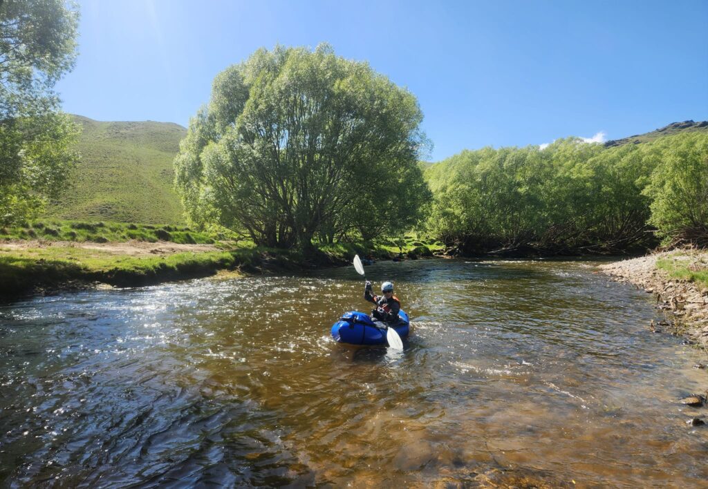
Tiroiti to Hyde McRaes Road (I / II+or III in higher water)
This section is the scenic and technical highlight of the run. In particular, it’s worth knowing about the gold mining diversion tunnel, just after Price’s Creek Viaduct.
Gold miners blasted a tunnel through the neck of an oxbow, apparently in an attempt to gain better access to the water around the bend. At high flows, the tunnel is hard to spot, and (thankfully) most of the flow follows the natural course of the river. Expect grade II+ or III moves around the sides.
In lower flows, paddling through the tunnel is an interesting option for those who can brace and react instinctively. “Grade III in the dark, what could go wrong?” is how one person described it…. The tunnel isn’t very long, and you can see the light at the end, but its difficult to scout before you take the plunge..
The hardest rapid of the run is not long after the tunnel. Scout or portage as needed.
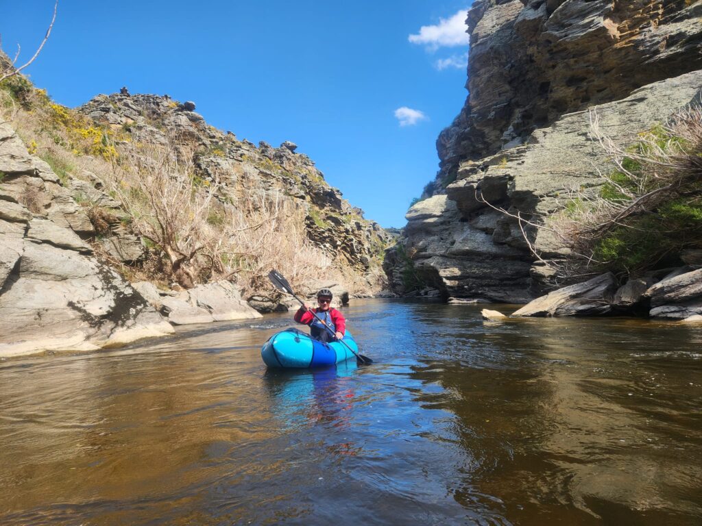
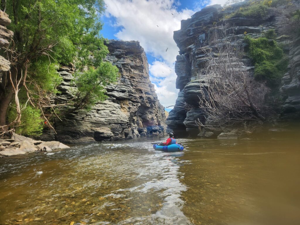
Expect a couple more grade II rapids in gorgeous gorges, as well as willowed banks and stunning floats past crazy rock formation. Again, everything can be portaged in reasonable flows.
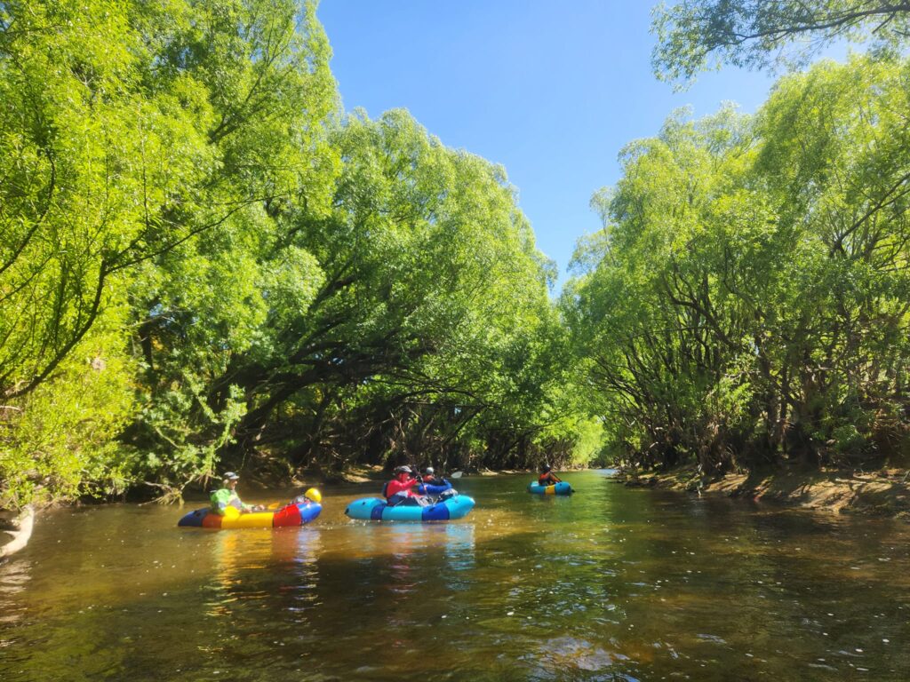
Hyde McRaes – Annetts Creek Camp – Ngapuna Road fisherman’s access (I/II)
It starts similar in character to the section above, with some slightly harder entrance rapids to beautiful sections of schist gorge. Once in the gorges, things mellow out and you get to enjoy the wonderful scenery.
There’s a few spots just downstream of Annetts Creek where you can spend the night. The camping here is informal, on a beach beneath the trees on the marginal strip alongside the river. Be sure to check the Walking Access Mapping system for the location of public land before you set off.
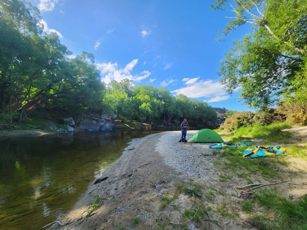
Its all grade I from here on!
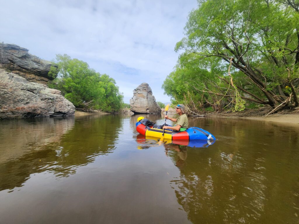
The take out via an unformed legal road, that leads to Ngapuna road. The unformed legal road (aka ‘paper road’) is legal public walking access across what looks like a farm paddock. Take a GPS, pick the right spot, and stick to formed track on the south side of the fence. Show all the normal country courtesy (no dogs, avoid stock, leave gates as you find them, etc) along the way. The Herenga ā Nuku | Walking Access Map below is focussed on the take out route, just to help you out…
If you’re accessing the take out from the road side, at the sharp bend in Ngapuna road, you’ll spot a Fish and Game anglers access sign, which confirms the spot.
Fisherman’s access to Middlemarch (I)
15km of grade I, crossing tiny gravel bars and tree-lined banks all the way to the bridge near Middlemarch.
Gauge
Although the catchment is huge, the area is very dry. You’ll want to catch a spring flow or head there after some rain to properly enjoy this run. The ideal flows haven’t been established yet, but two trips with these flows give an indication of the range. All the photos on the page were during the 6 cumec trip.
22 cumecs – rapids to II+ and one grade III in the Tiroiti to Hyde section
6 cumecs – nothing harder than II+ provided you stayed out of the tunnel.


