The Matakitaki is one of the larger Buller tributaries. The “middle run” especially is a popular short kayak run due to it’s proximity to Murchison, quality paddling and roadside access.
There’s so many roadside options on the Matakitaki, that you can pick and choose your own adventure.
Thanks to Martin Robertson for the original info and setting up the page, Eszter Horanyi, Mark Batchelor for photos and Dan Clearwater for further edits of this page.
View Larger Topographic Map
Matakitaki roadside runs overview
For beginners/intermediates
The recommended strategy is to park a card near the Six Mile Creek (Middle Run) take out, and add on as many of the sections as time and interest allow, and this is how this guide is written.
These are the sections of interest to beginner/intermediate packrafters, listed from top to bottom:
Upper (II) Glenroy Stream to Mt O’Rourke/Mint Creek – mellow, and usually needs a bit of water to bring out the best.
The ‘Lupper’ (II+) Mt O’Rourke/Mint Creek to Pylons access above 10 Mile Creek – A quality section for packrafters
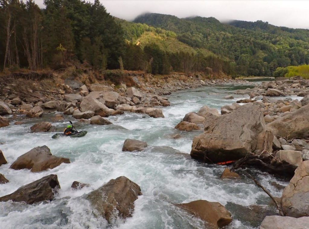
Middle Run (II+) Pylons access above 10 Mile Creek to the Dredge vehicle access track – A short section, with several popular play holes
For advanced paddlers
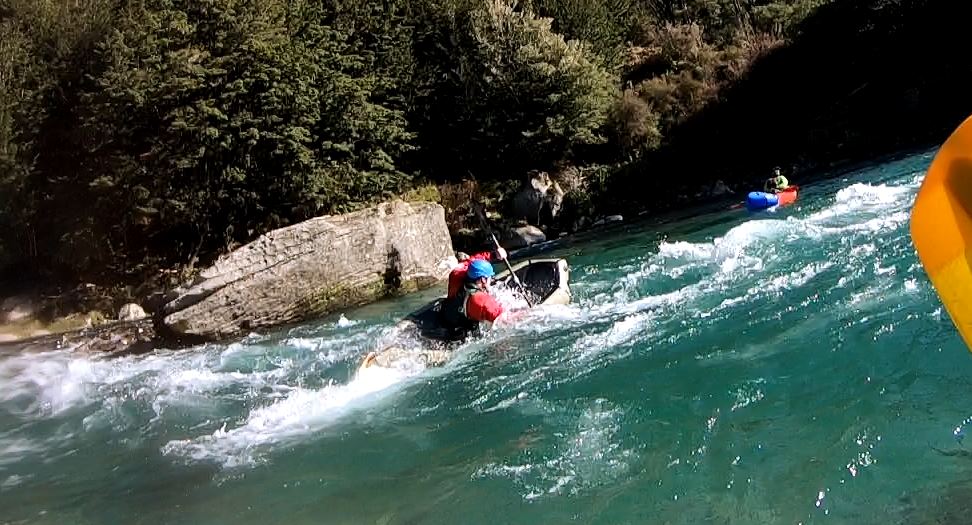
Closer to Murchison, is the Earthquake Run (III+/IV-). Large broken boulders make for hazardous paddling, even for experienced hard-shell kayakers – packrafters beware!
If you like your Packrafting to involve some pack,
Then try the separate page for the Matakitaki – Mammoth Gorge (II+) From Potbelly Creek to Horse Terrace Bridge
Matakitaki roadside runs for beginner/intermediates
The recommended strategy for beginner/intermediate paddlers, is to put a car at the Middle Run take out, then head up as high as time and energy allows.
To get to the Middle Run take-out
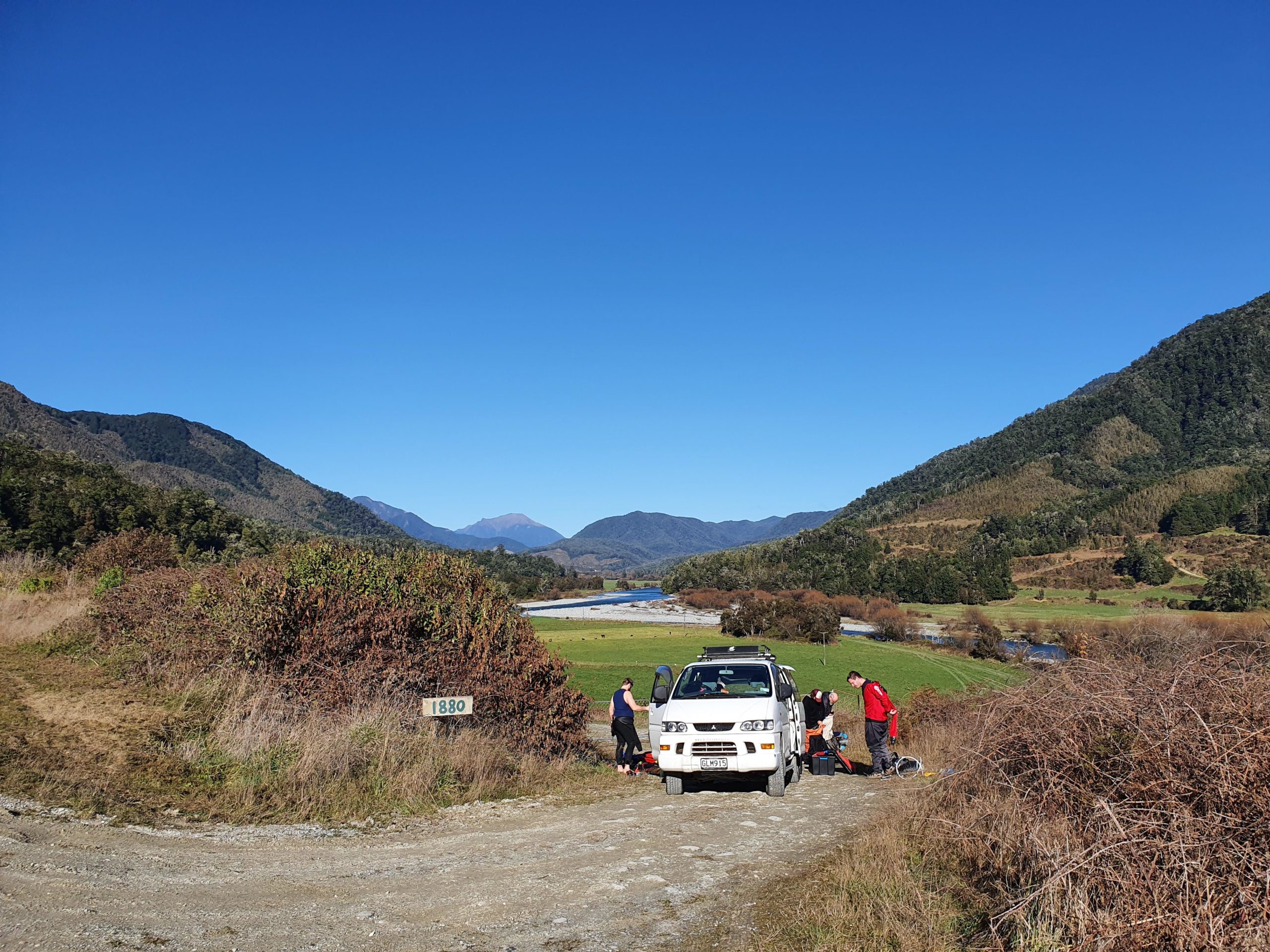
From Murchison drive about 9km up Matakitaki Road and turn right after the seal ends. An access road leads down to a car-park on the river plain. It has quite limited parking. Take note of the route across the paddock.
These accesses are here by the grace of the farmer and the hard work of local paddlers. You know the drill; gates as you found them, slow past stock, don’t waste electricity by getting zapped by the fences. Pick up any rubbish you find and leave your dog at home.
To get to the put-ins
Drive up valley and begin at a spot that suits the time and energy you have. Beginning from the “Lupper” put in is considered the classic packrafting day trip.
The Middle Run (II) put-in is a grassy road shoulder and gate with private property signs. It is road reserve down to the river. Unless you are going to play on river features all day, or have very limited time, you are better off heading up to the next put-in.
The put-in for the “Lupper” (II+) is just after Mint creek. The farm track runs along the path of an unformed legal road, which means legal walking access. This leads down to the river past a farm shed.
To get to the Upper (II) put in, continue up the road to the Horse Terrace Bridge and cross the Matakitaki.
Note – we don’t recommend running the gnarly rapid under the bridge it has a dangerous undercut.
Continue 2km until Maruia Saddle road crosses the Glenroy river (which is a short challenging Class III/IV run). The put-in is after the bridge.
On the river
From the Glenroy confluence the Upper is a 5km of Class I/II. It’s a wide riverbed that will need water to bring out the best of it. .
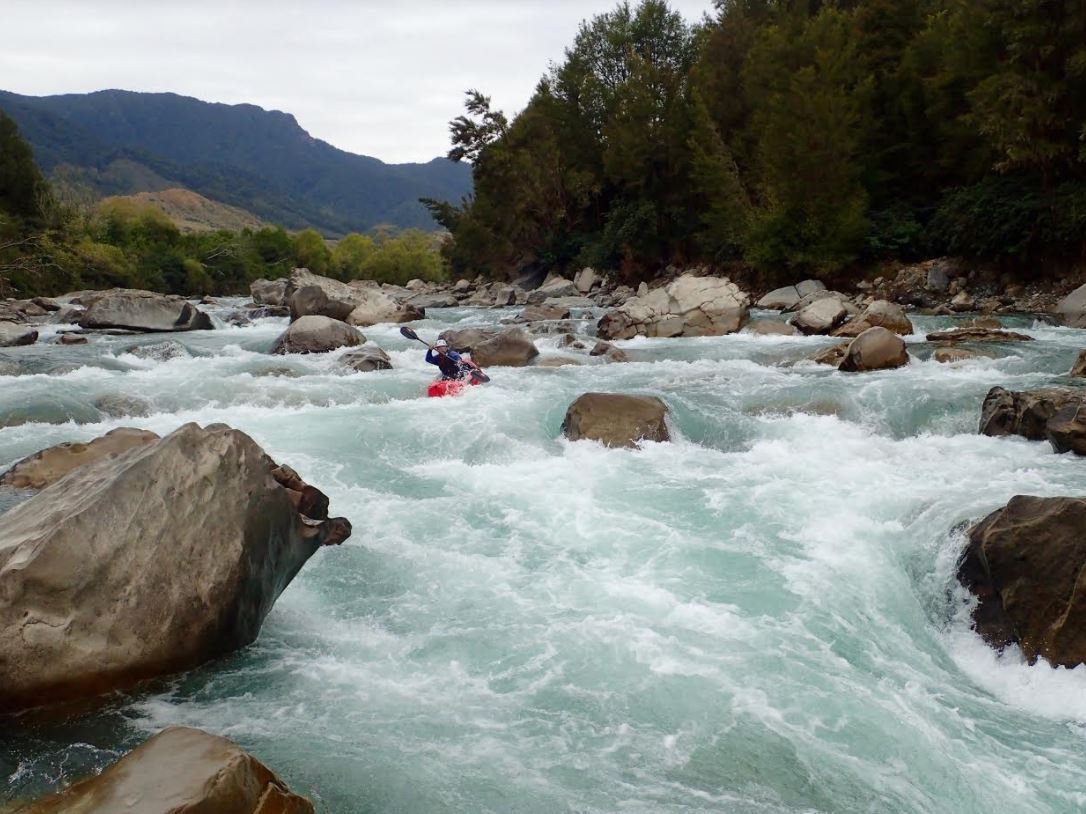
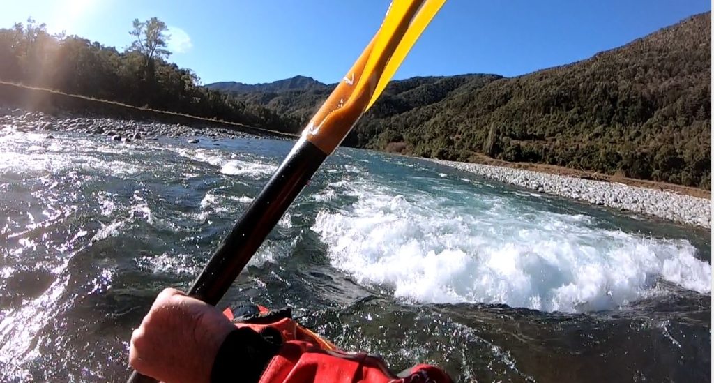
The Lupper (II+) begins below Mint Creek. This part is particularly scenic as you float towards the “Old Man of the Buller” peak. There are some great eddies in this section for practicing S crosses and hanging stern draws.
The Middle Run put-in is passed after 5km from Mint Creek. (10 km from Glenroy). A couple of km of wide shingle bed heralds a short (1200m) gorge section.
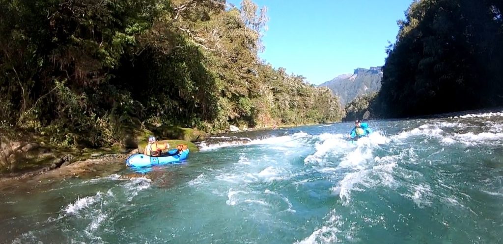
After a further 2km of shingle bed, a large white rock marks the take-out for the end of the Middle Run.
Matakitaki roadside runs for advanced paddlers
Earthquake Run (III+/IV-)
Graham Charles’ whitewater guide calls this the Earthquake Run. The River Guide website labels the same run as Lower Matakitaki. Read the hard-shell boater descriptions, and be aware that this section has injured highly competent kayakers.
The rapids were caused by (relatively) recent earthquakes, so the boulders are jagged and seives about. Personally my view is it’s likely to be more fun watching the kayakers than swimming this!
Below the Earthquake Run, its class I/II back to Murchison.