The lower Nevis is famous as one of the steepest, hardest kayak runs in Aotearoa.
But above the lower gorge of the Nevis River lies a series of fantastic, moderate roadside runs which are great for packrafting. With options for camping and cherry-picking the sections that suit you, it is a great spot for a day or weekend mission. These upper reaches need the right amount of rain to be runnable, so you’ll have to wait and strike when the weather and flows line up.
Overview of the whole Nevis River
- Top Flats (I) From wherever there’s enough water to Whittens Creek
- The Upper Gorge (III / V P): Whittens Creek to Commissioners Spur/Lower Nevis
- Middle flats (I) Lower Nevis to Nevis Crossing
- Lower Gorge taster (III) Nevis Crossing to Nevis Burn
- Lower Gorge (IV-VI) Nevis Burn to Kawerau River
View this map full screen on www.Topomap.co.nz
The whole Nevis is subject to the Kawerau Water Consevation Order, which basically is the highest form of protection a river can get: no dams and water quality requirements limit degradation by things like farms, mining etc. Basically a WCO could be described as a ‘national park for rivers’: take a moment to thank the foresight of the people who protected this catchment for future generations to enjoy!
The Lower Nevis below the crossing is one of the hardest whitewater runs in the country: grade IV-VI boating which attracts elite whitewater kayakers when the flows are on. i.e, packrafters, make sure you take out before you get into the gnar!
[the Nevis] is the best in the region and offers some of the sickest, consistent hard boating in the country.
Graham Charles – New Zealand Whitewater guidebook www.riverguide.co.nz
Thank you to Kat West and Bryan Moore for the original description and photos, from a trip in Feburary 2022, and Richard Sidey for updated images of paddling in the gorges from a trip in spring 2022.
Road access
Nevis Road via Duffer’s saddle from Bannockburn
The Nevis Road links Garston with Bannock Burn. You can call it adventurous 2WDing – gravel road with some fords on side creeks, similar to the road to Raspberry Creek in the Matukituki. We took our Nissan Leaf with no issues, though with a 30kW battery we needed to be fully charged when we left Cromwell – there are a couple of big hills! You could easily drive with a Leaf to the upper flats where we put in. We did the shuttles with a bit of walking and a bit of biking.
Gauge
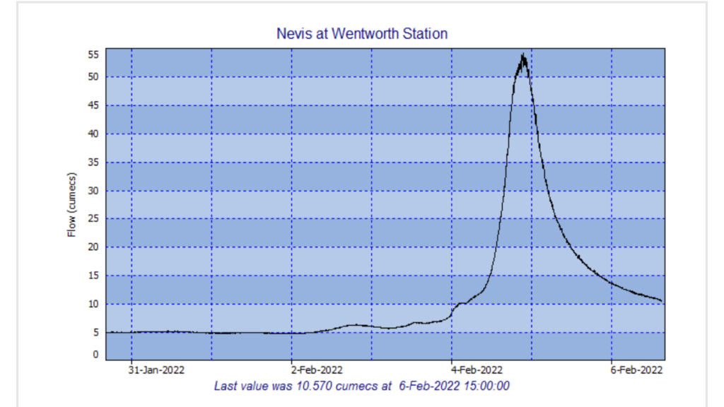
Bryan and Kat did thier trip over the weekend of 5/6 February.
The gauge was reading 21.6 and dropping when we left Cromwell late morning. Graham Charles’ white water guide says the lower gorge is IV-VI up to 10 cumecs and grade “make my day” above 20 cumecs! Whilst he doesn’t mention the upper gorge, I was still hoping the flow would drop a bit further by the time we got on the water!
(There’s no reception in the valley, so the flows in the descriptions below were referenced after they returned from the trip!)
Upper Gorge (III / V P)
- Time on the water: 2.5 hours
- Flow (based on graph the day after): 18 cumecs
Although you can shuttle by car, this section is only 6km or so, and you get the time to observe/scout the river on the way in.
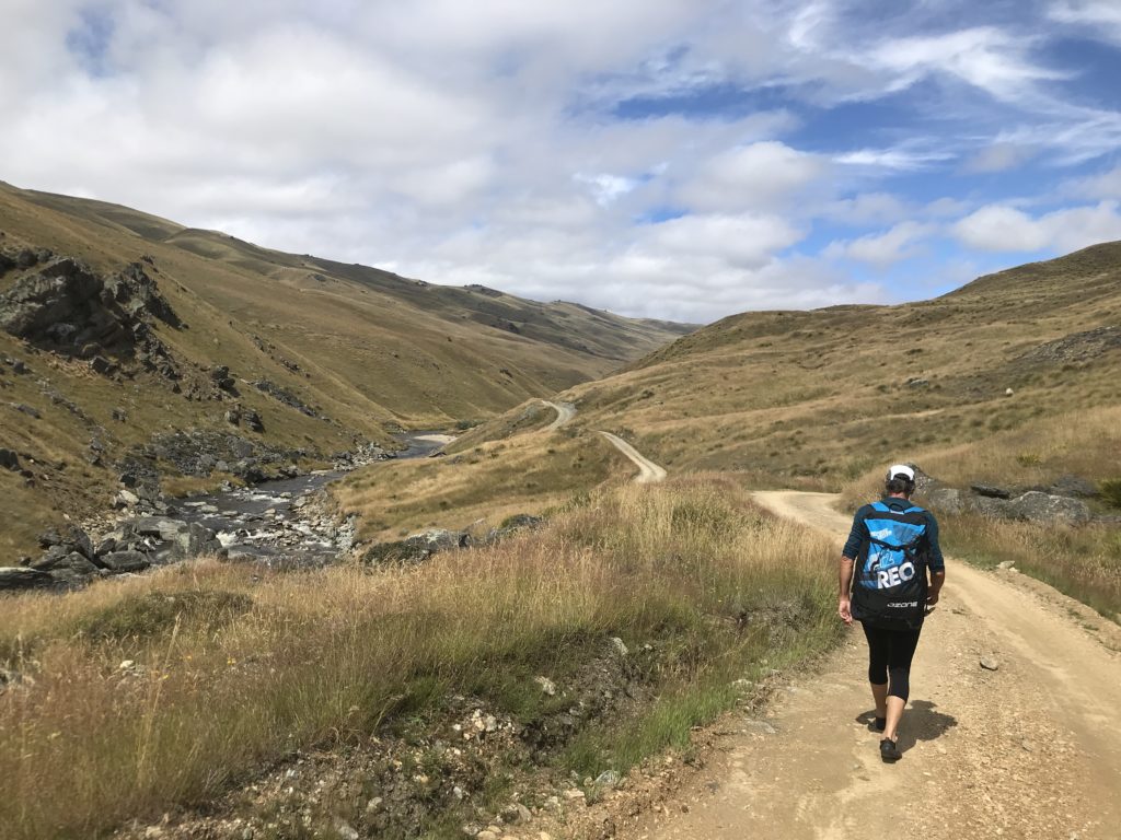
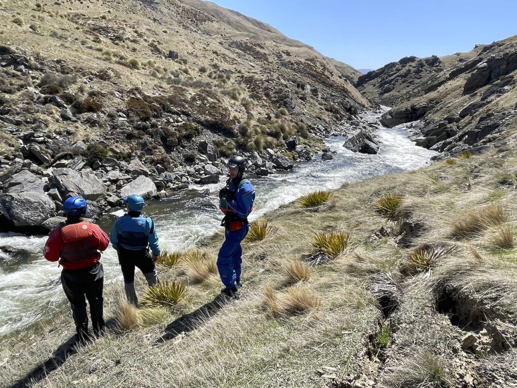
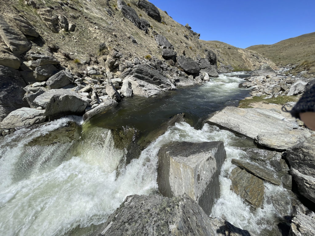
One drop, in particular, looked very intimidating, so we paid close attention to the lead-in markers – big triangle rock on the left, big slab rock on the right. Everything else looked doable, but we were looking at it from 100m above the water! Things somehow always look easy from a distance.
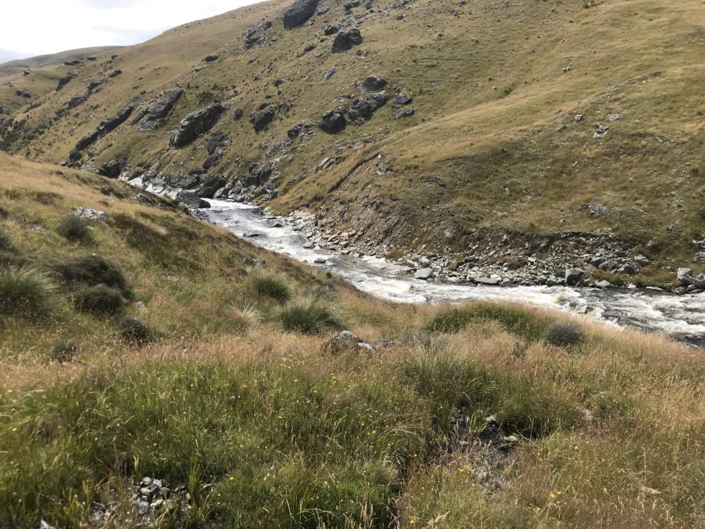
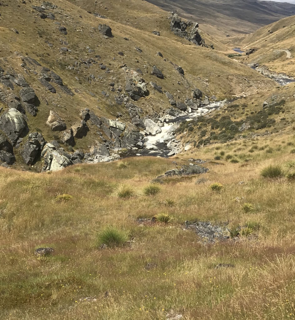
Whittens Creek a good put in for the upper gorge.
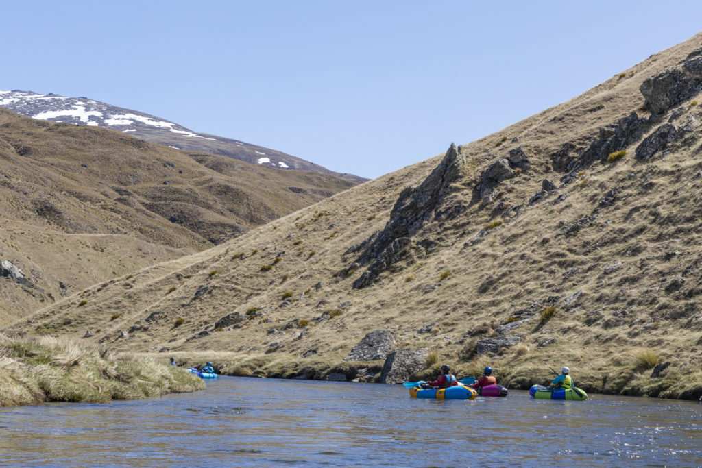
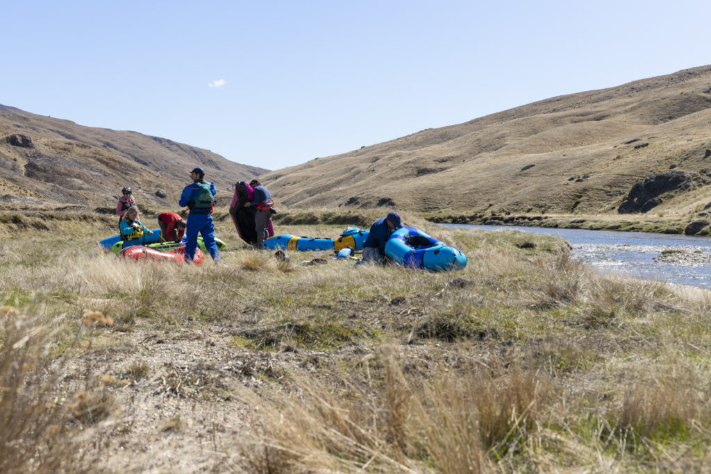
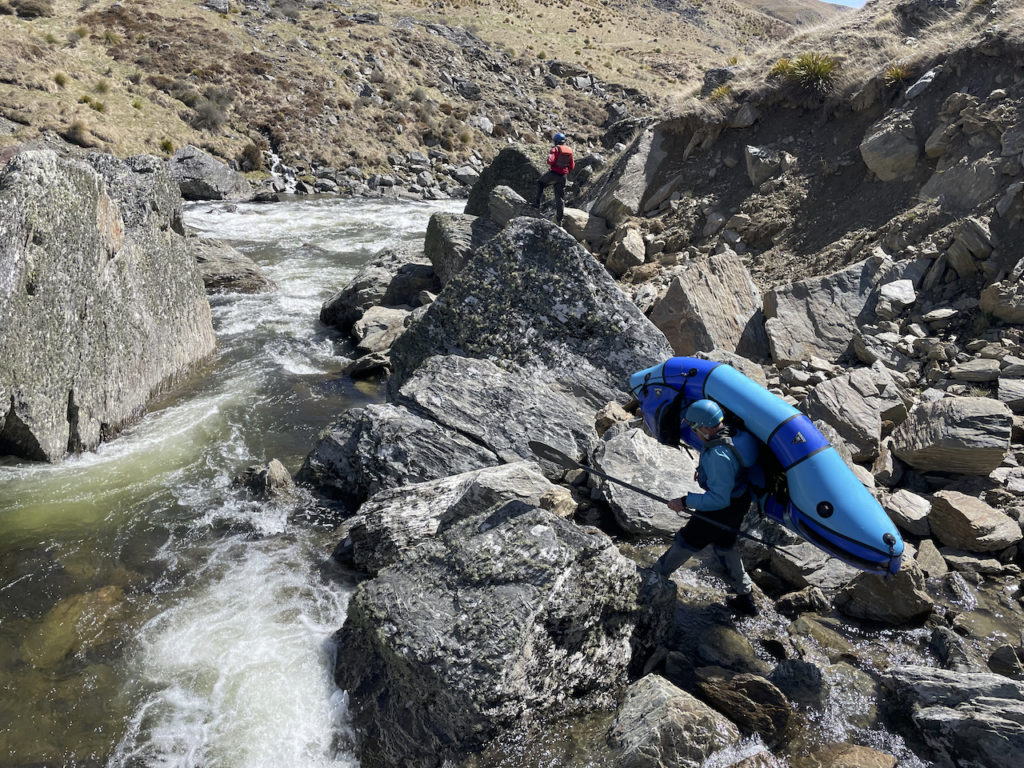
The lead-in to the main action in the gorge is quite quick. 1/2km of bouldery grade II quickly gets steeper with a major horizon line for the main drop. The flow we had meant there were lots of eddies so you could boat scout each wee drop. I opted to get out on the true left about 100m above the main crux rapid, Bryan went for the eddy right at the top on the true right. We both easily portaged – biggish boulders, but light boats. Go the pack rafts! Bryan estimated it at grade V – paddleable by the right crew.
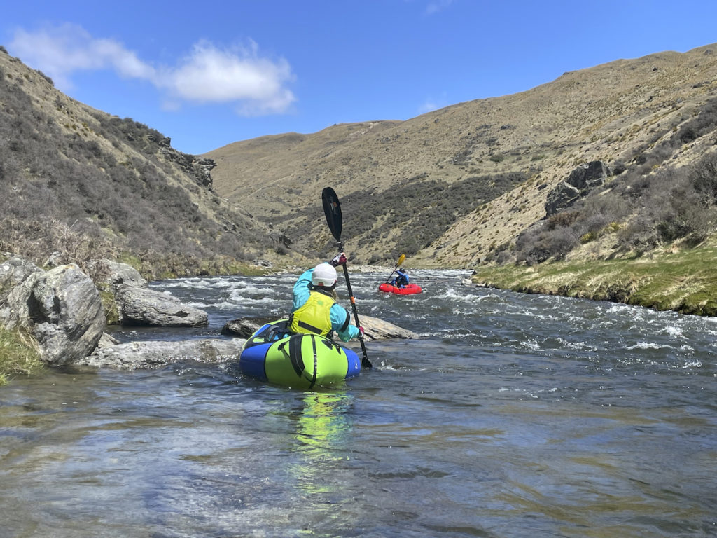
I portaged one more rapid then we were both back on the river. Then there’s a bunch more fun grade III boulder pool drop action.
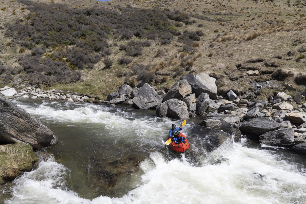

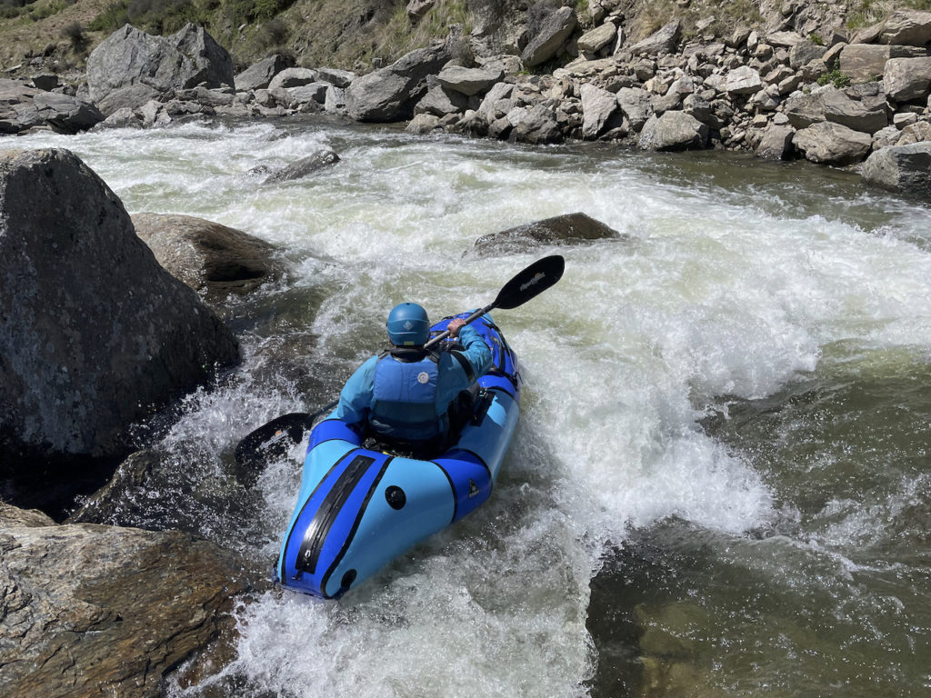
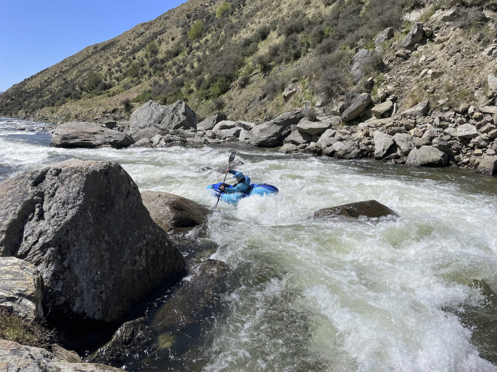
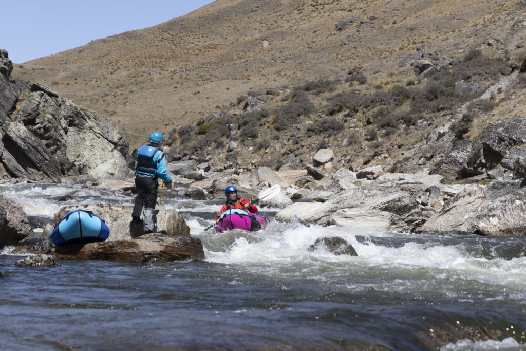
We had left the car at Sproules Creek, so we dumped our packs there and carried on with even lighter boats.
Yet more fun with a couple of bigger drops to keep you thinking. I managed to muck up one drop and go for a wee swim – I got out in the eddy but my raft did a couple more drops on its own before Bryan managed to push it to the side into another eddy. The river gradually eases off, and by the time you are at Commissioners creek it is grade I shingle rapids with wave trains. The land on the true left of the river here is part of the Remarkables Conservation Area, so easy to walk across to the road if required. There is an established camping area beside the road near “Lower Nevis” just downstream of a small crib. We stayed the night there, after Bryan walked back up to get the car from Sproules Creek.
Middle Flats (I)
- Time on the water: 2 hours
- Flow (based on graph the day after): 12 cumecs
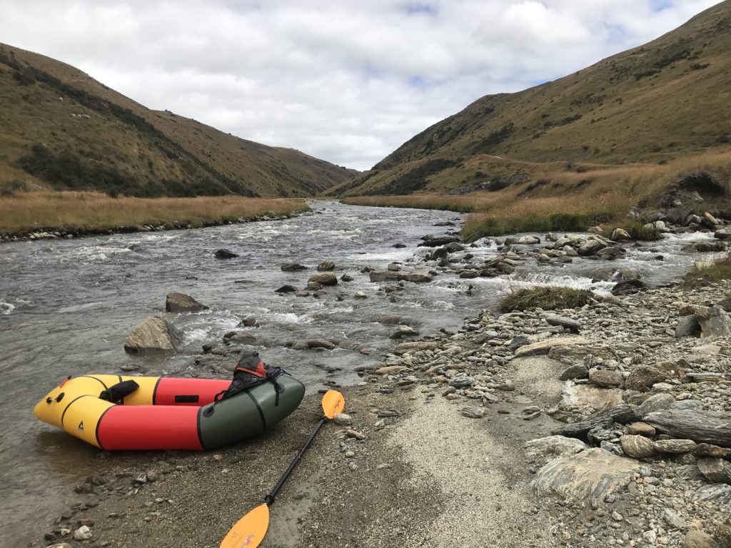
The middle flats from Commissioners creek down to Nevis Crossing are easy shingle rapids, grade I. The flow was down to about 12 Cumecs and still dropping slowly. There was still plenty of water, but you did have to be careful to get the main channel in some places.
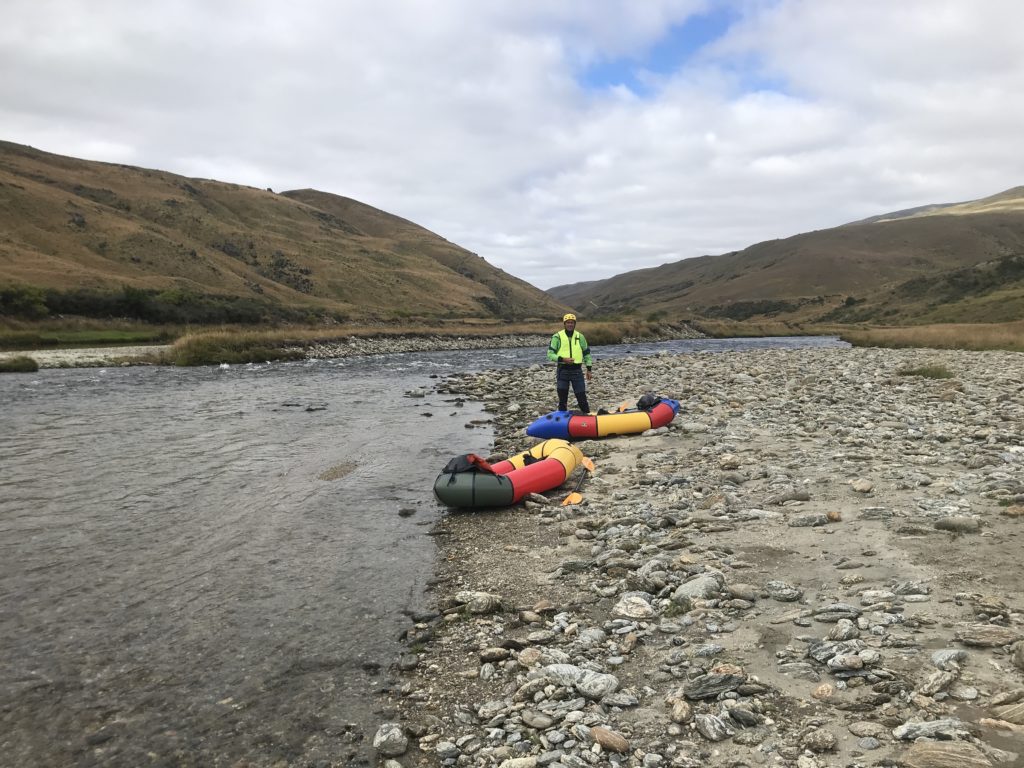
Lower gorge taster (III): Nevis crossing down to Nevis Burn.
- Time on the water: 1 hour
- Flow (based on graph the day after): 12 cumecs
This short (1.5km) section of river is a real gem. It provides more of a gorge feel, with the river more concentrated between bluffs and boulders.
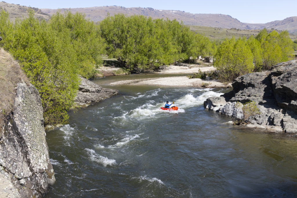
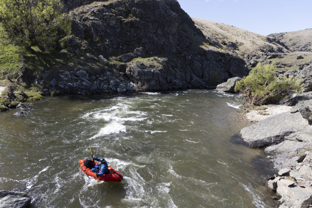
However at the flow we had it was still possible to boat scout and portage anything that felt too pushy. I walked one drop but paddled the rest. Grade III crux but mainly grade II. I love how easy it is to portage a pack raft – with the big boulders it would be a pain with a hardshell. Really beautiful section so I was super happy we added it on to the trip.
We got out beside another crib where the Nevis Burn meets the main river.
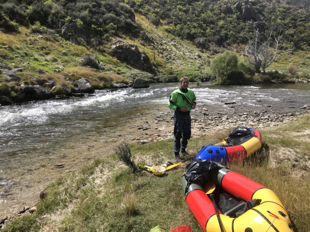
You need to walk back up to Nevis Crossing from here, or it’s a very long, much harder (up to grade VI), paddle down to the Kawarau! There is a good description on the Whitewater New Zealand River guide or in Graham Charles’ “New Zealand Whitewater” guide book if you want to know more.
Most of this part of the river flows through Ben Nevis Station, but walking access back to Nevis Crossing is possible via a series of legal and agreed arrangements. There are marginal strips on either side of the Nevis Burn which continue until the Nevis-Gibbston Track. The Nevis-Gibbston Track is on Ben Nevis station, but according to the DOC website, it provides access to the other tracks leading to the Remarkables Conservation Area.
Going back up beside the main Nevis River would be a scramble but doable, probably on the true right. There are also Fish & Game and DoC access points along the flats. Have a look at WAMS before you go!
We had left mountain bikes at Nevis Crossing on our way in, so a short ride (9km) back up to Lower Nevis to retrieve the car finished the day.


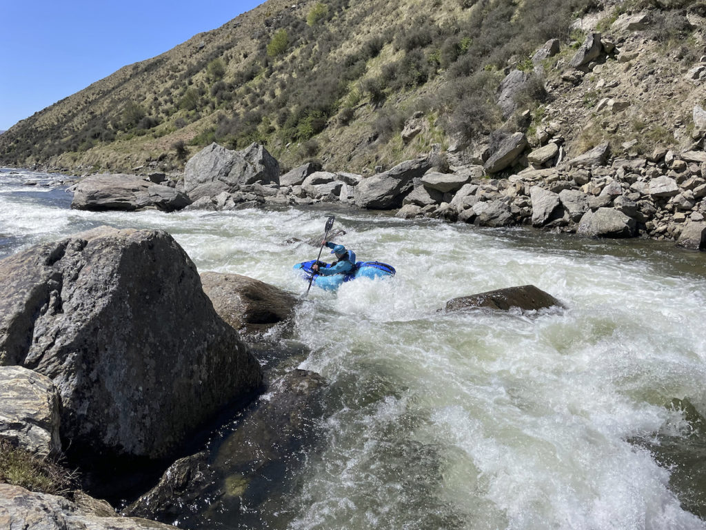
We paddled this one in late Feb a couple of days after rain, and it was about 10 cumecs on the guage, with the resting flow around 5 cumecs during a very dry summer. It was very low, however we somehow managed to have a fun little float down the upper section, with almost everything just running at fun scraping levels. The middle section however was brutal and is certainly not recommended at these levels and unfortunately we ran out of time to do the lower gorge. I wouldn’t make the trip up there at these levels, but if you did find yourself up there with a boat, it is totally worth a little splash on a warm day.
We found the road to be pretty OK on the way in from the Cromwell end to be fairly fine (4WD and an SUV) up until the Nevis bridge, however heading up to the put in was pretty rough (big rocks etc). We decided to make a bit of a thru trip of it continuing on the Nevis Rd to Garston, however it was super full on with some very deep river crossings – would only recommend for a team with proper 4WD’s. It took much longer going this route, but was also very pretty.