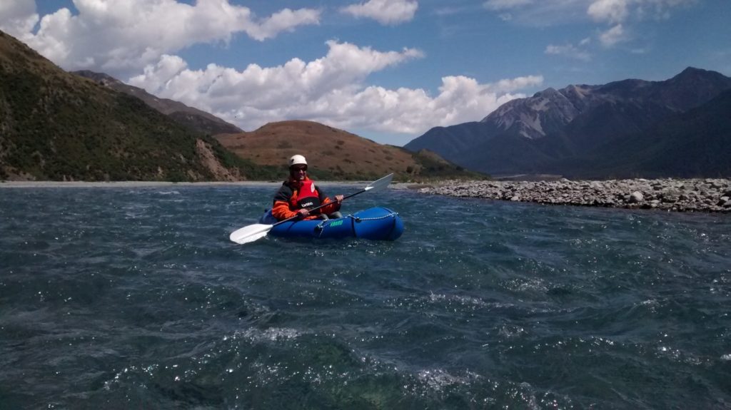
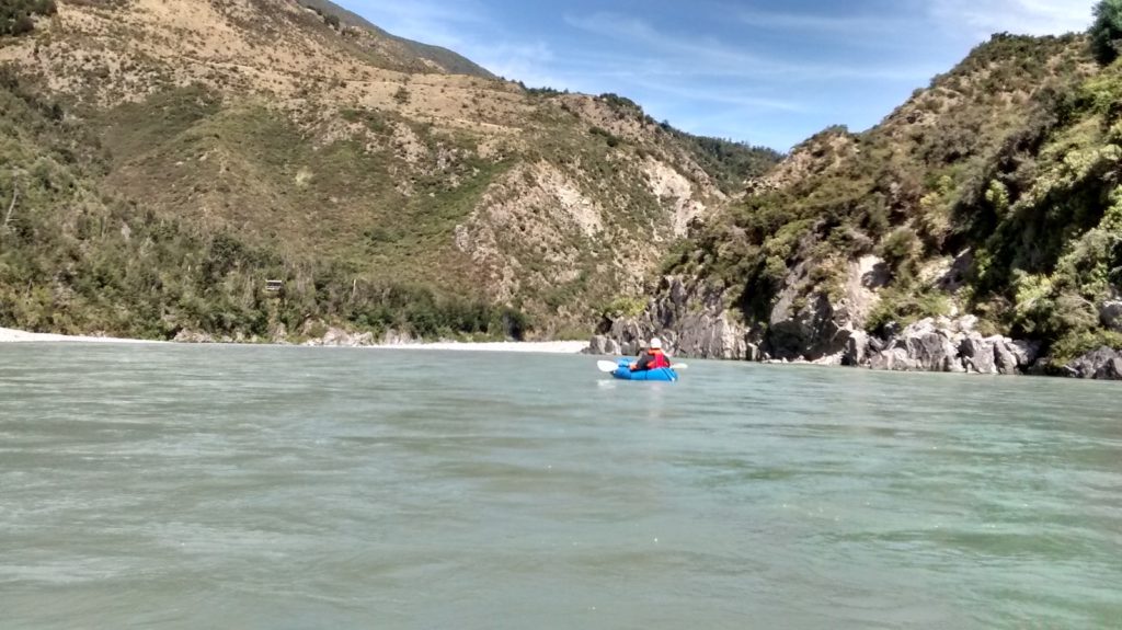
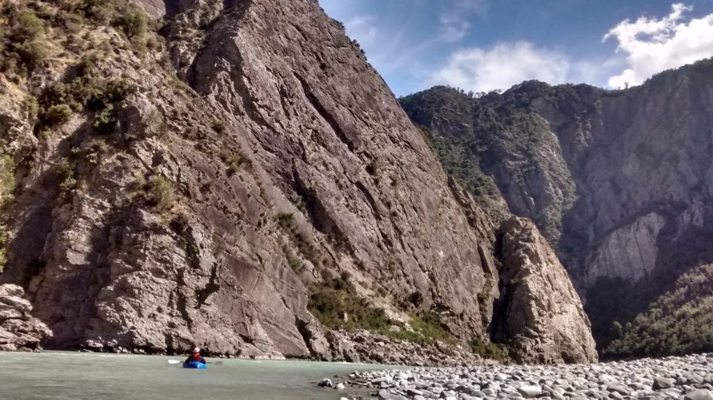
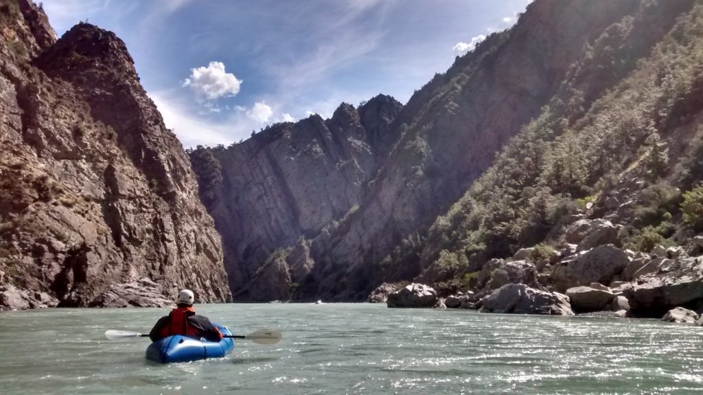
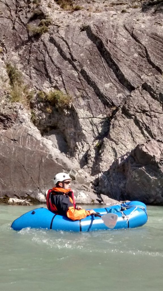
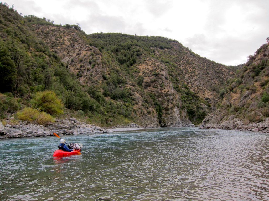
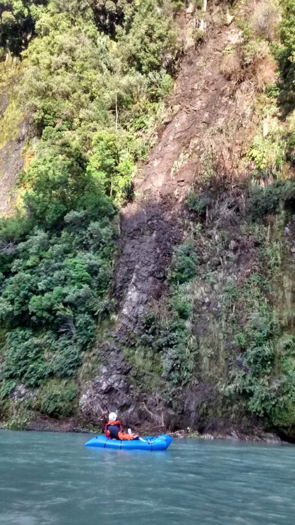
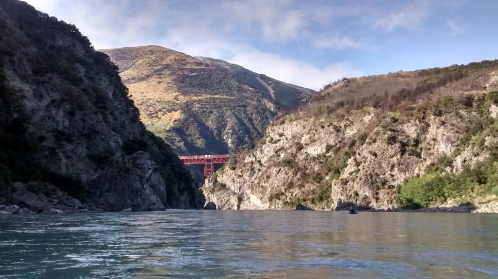
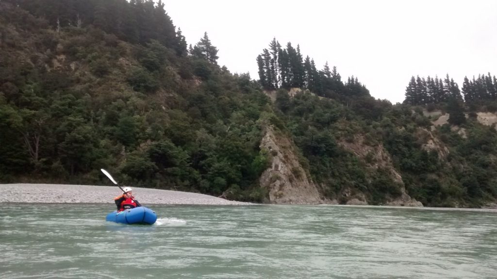
The Waimakariri Gorge is a great grade II overnight trip or long day-trip covering 50 to 60 kms or river, accessible by car at both ends.
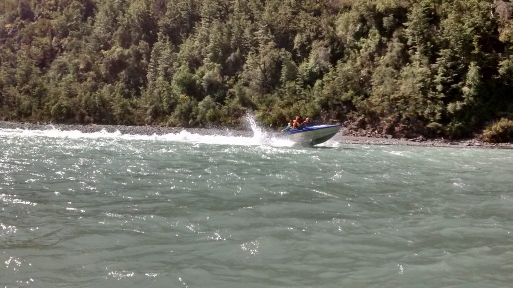
This stretch of river is most well-known for hosting the kayak leg of the famous Coast-to-Coast multi-sport race. This race takes place over a weekend in mid-February – make sure you avoid race-day! Expect to share the river with althetes training for the race, as well as jetboats (read the Jet boat courtesy code for hot tips on how to share the river and stay safe. )
At the slower pace of a Packraft, there’s lots of spectacular gorge scenery to enjoy and plenty of lovely campsites. It’s a classic run for a good reason.
Being so close to the outdoor recreation-focused population centre of Christchurch, this section of river will probably become one of the most commonly pack-rafted trips in New Zealand. It is ideal for people with a couple of day trips under their belt and looking to extend themselves on an overnight trip.
A longer trip that included the Poulter River would appeal for those looking for a longer, more remote journey.
Thank you to Sam Newton for the words, Zak Hynd and Michael Batchelor for the photos.
Shuttle
The most convenient put-in is at the Mt White Bridge, approximately a 90 min drive from Christchurch. A common take-out is at the Waimakariri Gorge Bridge, near Sheffield – approximately 40 mins from ChCh. There’s a picnic area and a gravel road that goes down to the waters edge, on the downstream true right side of the bridge.
Another car-accessible take-out option is at the Alpine Jet depot on Otarama Road. (Call Alpine Jet ahead of your arrival, as it is private land and they can apply a nominal parking fee).
If you are really keen on avoiding some of the Grade 1 floating along the upper stretch, you could seek permission to walk in to the river from the Cragieburn road, but fundamentally this is a car-to-car trip.
Waimakarirri (I) Mt White to the Gorge 25km
There is about 25kms of Grade 1 water between the Mt White bridge and the entrance to the gorge at GR 150270, with a couple of Grade 2 wave trains to keep it interesting.
Waimakarirri Gorge (II) 30km
The gorge section is most serious during the first half but does not exceed grade 2 with plenty of quiet patches in between each series of rapids.
For overnighting, there are the Hamilton and Walker Huts, which are both visible but not obvious from the river. There was little information we could find about these huts, except that they have been receiving a little maintenance from the Jet boating community. It may pay to carry camping gear, given the popularity of this stretch of river. Campsites are few until you reach the Hamilton Rapids (GR144218), after which there are many options, including sandy beaches.
Waimakarirri River (I) gorge to Sheffield bridge 13km
Below the gorge is Grade I floating. Make sure you stop in at the world-famous-in-New Zealand ‘Sheffield Pie Shop’. You won’t regret it…

Gauge and weather
<150 cumecs and dropping = good packrafting flows
A lack of water is unlikely to be a problem, as the Waimakariri is one of the major braided rivers of Canterbury and at Otarama never gets much below 50 cumecs. Around 100 is normal for mid-summer. Anything above 200 or 250 cumecs and the river is getting beyond the capability of a packraft. Aside from that, campsites would be even fewer and further between.
This river drains a very large area of the main divide, so if there’s rain about, make sure that the gauges are on the drop – you don’t want to be in the gorge if the river is on the rise. In flood, the Waimakariri can swell into the thousands of cumecs with massive waves and boils.
Advice from many other sources suggests being careful to avoid the Nor’wester… The gorge is the lowest route for the wind when there’s a big NW blowing, causing havoc in the narrow gorge. See the Canterbury High Country forecast on Metservice.com to check for the wind.
There’s lots of videos and other resources about this section online..
