


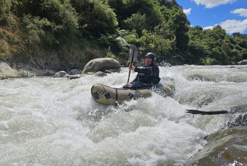
The Whangaehu below Colliers is a pleasant paddle with an unpleasant smell, courtesy of Ruapehu’s Crater Lake. There is something about this seething cauldron that will draw you back. This is if course the fun rapids – this reach has a few decent II+ or even III rapids at each end and lots of Class II throughout.
Rapids are typically bouldery and can offer room to zip about and eddy hop, which explains why there was once a slalom course at Colliers bridge.
Remember to rinse your gear well after the trip!
The Shuttle
Heading along SH49 turn south along Whangaehu Valley Road. This is 8km past the rail crossing at Karioi (coming from Waiouru) or 11 km from Ohakune if coming from the north. Continue south for 30 minutes to the put-in at Colliers Bridge on Fields Track. A 4wd track on river left leads down to a clearing. The river access is just before the track opens out into a large turning area.
Note the road abandons the river for a while before meeting it again at Colliers. The takeout is about 20 minutes down the valley where Polson Road crosses the river. Polson Road isn’t used much so cars are probably safe at the takeout.
On the River
Whilst some distance downstream of Ruapehu the river still has a strong sulphuric acid odour that gradually weakens over the course of the trip. It is not acidic enough to do any damage but will make your eyes sting when splashed. Take your own drinking water, as you won’t be drinking this brew. Water quality is better during snow melt or after rain.
Rapids are boulder gardens and (soft) bedrock ledges and features. The rapids can all be boat scouted with care.
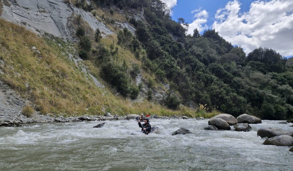
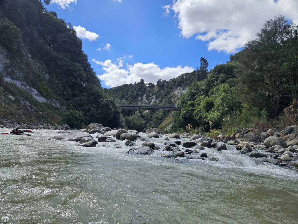
At first there is some Class II+/ III- but it quickly eases off to Class II. A few harder rapids then pop up in the last stretch. MacKenzies Bridge on Polson Road is the take-out (three and a half to four hours – 17km downstream). The land south of the road on river left at the take-out is road reserve and presents the easiest access across a paddock.
Overnighting on the river is possible but campsites are very limited. Do some research and ask permission if you want to camp. The true left below Colliers Bridge is public land. There are a few scenic reserves below this point and quite a bit of esplanade (road) reserve.
It is possible to continue for quite some way before the river eases to Class I /II after Aranui Station Bridge. If you paddle this section then leaving the river is the biggest challenge. A scout of downstream exit points suggests the best chance is at Aranui Bridge (a further 8 km). Exiting river right after the bridge looks best. Again this requires you to cross a paddock that is road reserve but part of a farm – ask permission. Check the exit points yourself if heading downstream.
Gauge
The gauge is Whangaehu at Karioi
View Larger Topographic Map