


The Whangaehu is a great Class III river with the unique feature of draining the Crater Lake on Mt Ruapehu. It’s not one to take a swim in as the water is acidic! But take some fresh drinking water and enjoy the continuous rapids.
It’s a recurring theme in these parts that the river has had much of its flow reduced by diversion of tributaries into the Rangipo Hydro Scheme. The acidic / sulfurous nature of the main river saved it a similar fate, but left it as an undiluted acidic feed from the Crater Lake. In 1953 the collapse of a natural tephra dam, retaining the Lake, released a massive lahaar down the Whangaehu River in an event known as the Tangiwai rail disaster. The flood of lake water and debris destroyed the rail bridge at Tangiwai and many lives were lost when the next train fell into the river.
But don’t be put off, there will probably not be a Crater Lake eruption and lahaar while you are on the river and there are plenty of awesome rapids.
The Shuttle
The traditional run involves a hellish scramble down a steep cliff from a Quarry to bash through a swamp of blackberry to reach the river. Then a one hour haul across farmland at the take-out. Its almost like those kayakers wanted to be packrafters. A much more pleasant, but longer run is bridge to bridge. Which bridge depends on your appetite for exploring. Colliers Bridge on Fields Track is the easiest take-out.
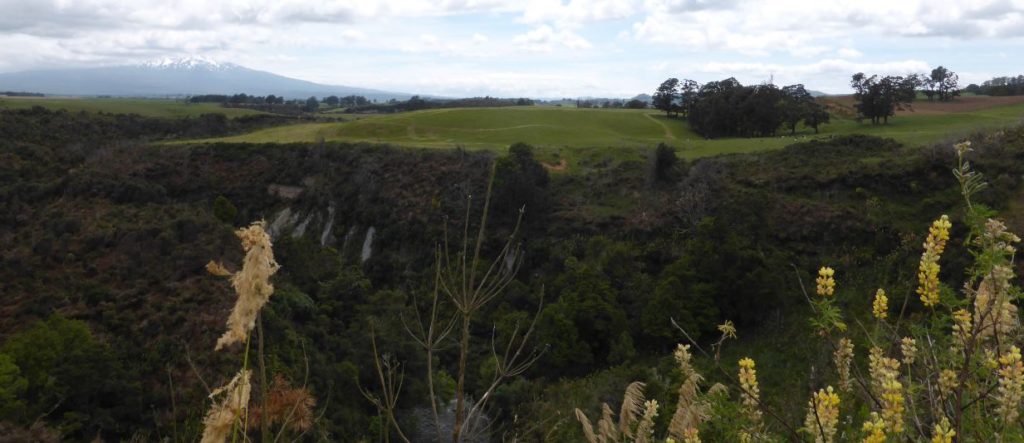
Heading along SH49 turn south along Whangaehu Valley Road. This is 8km past the rail crossing at Karioi (coming from Waiouru) or 11 km from Ohakune if coming from the north. After about 5km you will cross Whangaehu River. This bridge is the put-in or continue 1.5km and walk down to the river across road reserve. Continue south for 30 minutes to the take-out at Colliers Bridge on Fields Track.
Note the road abandons the river for a while before meeting it again at Colliers. The road isn’t used much so cars are probably safe at the takeout.
Putting in at the Quarry on Whangaehu Valley Rd gives you the best run in a shorter time (1.5 hrs less) but frankly you are better off getting in at the upstream bridge, keeping your drysuit intact and making a big day of it.
On the River
The river drains Crater Lake and so it is smelly and acidic (not enough to do any damage). Take your own drinking water, as you won’t be drinking this brew. Water quality is better during snow melt or after rain.
There is some Class II water above the put in. You could consider this if the flows are up. The usual put in is below this Class II reach, where a tributary boosts the flow.
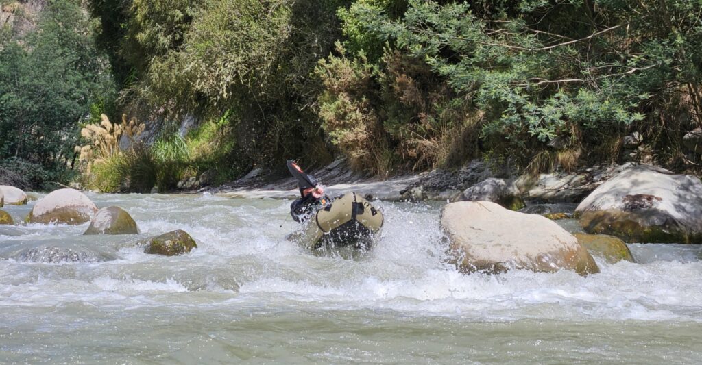
The first reach to the Quarry is 9 km. The river is continuous Class III at most levels. Rapids are boulder gardens and (soft) bedrock ledges and features. The rapids come thick and fast and good boat scouting and eddy catching is needed. The next reach is 23km, with the second half easier as you approach Colliers (mostly Class II+). It will take six hours or more to reach Colliers Bridge. The river drops a decent 10m/km over this reach.
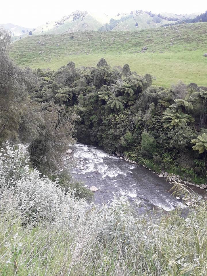
Beyond the Colliers Bridge is the Colliers to MacKenzie section (see separate write up). Linking up the runs could make an overnight trip.
Overnighting on the river is possible but campsites are very limited. The Te Tui Farm reach has no esplanade reserve so the banks and riverbed are private property. Do some research and ask permission if you want to camp. The true left below Colliers Bridge is public land, but there are no toilets just a rough parking area.
Gauge
The gauge is Whangaehu at Karioi
A recent Kayak trip
View Larger Topographic Map